Name/Title
Market Square as it Appeared in 1971 before its Destruction in 1973, Photos (7)Entry/Object ID
P1994.1H.21Description
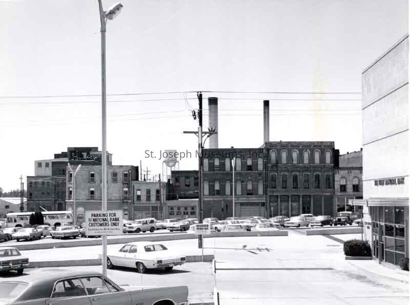
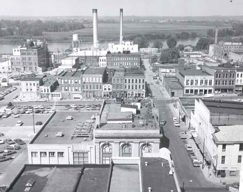
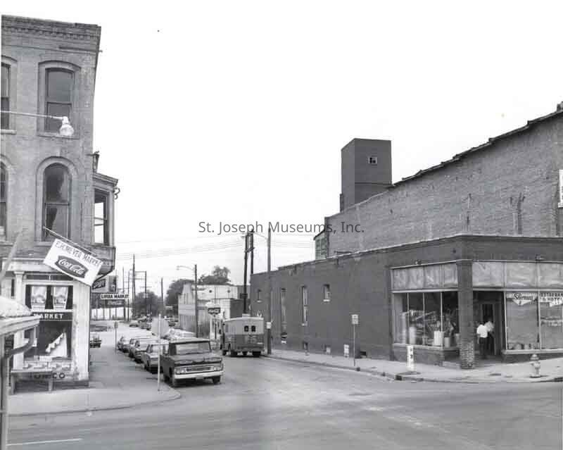
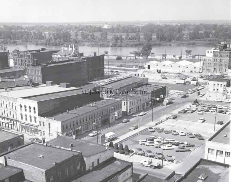
Market Square as it Appeared in 1971 before its Destruction in 1973, Photos (7). b/w. Photos of Market Square Buildings, some aerial views, taken by SJM photographer, Don Reynolds, in August & September1971, before the Square's demolition in 1973 during Urban Renewal. More distanced views than the photos included in 94.1H.24-45. Market Square occupied the full block bordered by Felix & Edmond, 2nd & 3rd Street.
94.1H.21 = East Side of Market Square as seen from First National Bank parking lot across the street (east) in foreground. "Market Square on Third Street from 4th Street. View to westward across parking lot of First Natl Bank." Aug. 1971
94.1H.22 = Aerial View of Downtown with east side of Market Square along 3rd Street in photo center. Looking west down Felix Street to the river. First National Bank prominent in lower photo. Shows Felix Street from 4th to River. "View westward from Corby Building toward Mo River & Kansas in Market Square Row at left center". Aug. 1971
94.1H.23 = Intersection 3rd & Felix, Market Square on left, corner of E.H. Meyer Market. Looks down the north side of Square, Lipira Market sign. Sherman's Restaurant Supply across Felix to north. "Intersection of 3rd & Felix, view to northwestward," Sept. 15, 1971
94.1H.25 = Aerial view of Edmond Street from 3rd to 4th St, looking west toward river. Willit's Bindery, part of Market Square on NW corner of 3rd & Edmond seen at photo right, about center. First National Bank parking lot in foreground. "View southwestward from Corby Building" Aug. 1971.
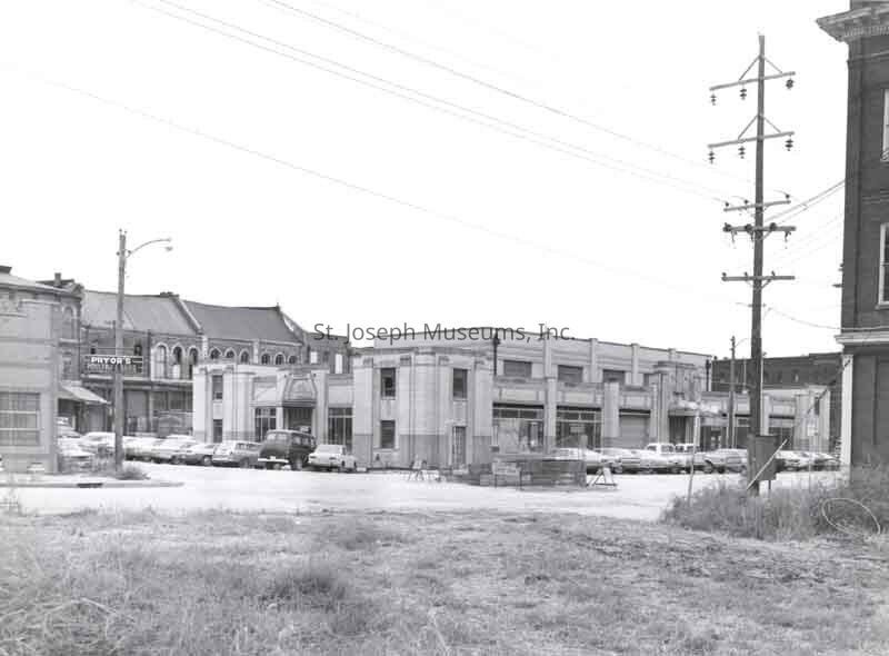
94.1H.42 = The 'new" market building, 2-story flat roof building with front bays. Cars parked diagonal to curb. "New Market Buttling, View to S.E. across intersection of Second & Felix" (This too was razed in Urban renewal). West side of Market Square seen behind this building.. Pryor's Poultry sign on opposite corner. Sept. 15, 1971
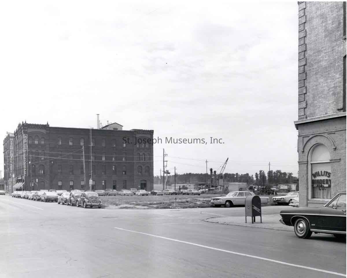
94.1H.61 = Intersection of 3rd & Edmond, view to southwest. Willits Bindery, part of Market Square, at extreme photo right. Sheridan Clayton Building and Mitchelhill Seed Buildings, tall buildings at left. Block between Edmond & Charles Street has been razed and is a grassy lot. (in 2020 this empty lot is the ramp on to I-229 going south). Sept. 15, 1971
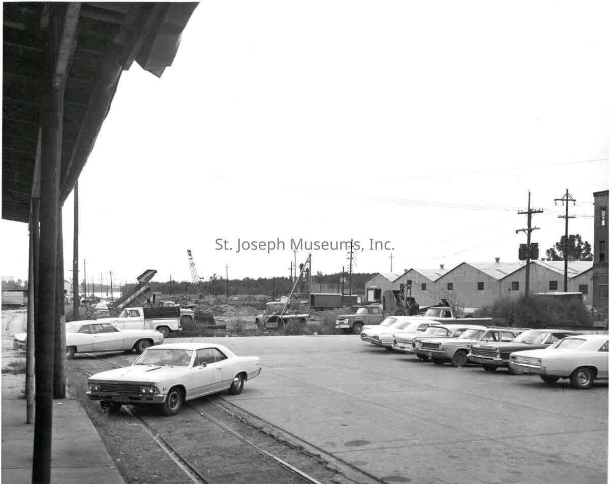
94.1H.62 = View from west side of Market Square (note canopy at photo left), south down 2nd Street where demolition of other buildings taking place. Sept 15, 1971
Original digital scan located on History CD 03Made/Created
Date made
1970Place
City
St. JosephState/Province
MissouriLexicon
Nomenclature 4.0
Nomenclature Secondary Object Term
Print, PhotographicNomenclature Primary Object Term
PhotographNomenclature Sub-Class
Graphic DocumentsNomenclature Class
Documentary ObjectsNomenclature Category
Category 08: Communication ObjectsSearch Terms
Market Square, Meyer Market, Lipira Market, Sheridan Clayton Building, Sherman Restaurant SupplyProvenance
Notes
Photos by SJM staff photographer, Don Reynolds