Name/Title
Market Square, Downtown Area Adjacent as it Appeared in 1970-1971, Photos (20)Entry/Object ID
P1994.1H.39Description
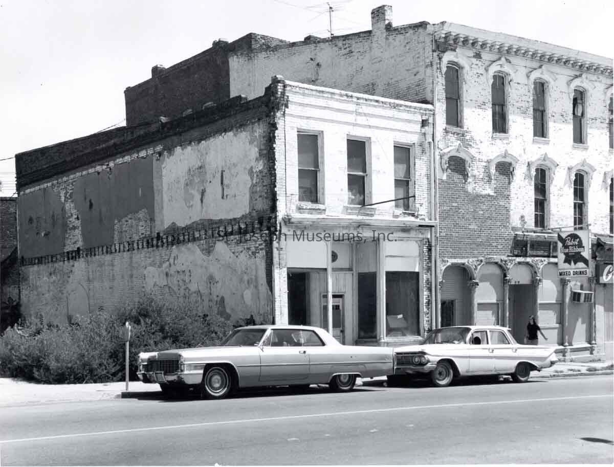
Market Square, Downtown Area Adjacent as it Appeared in 1970-1971 Photos (20). b/w. Photos taken in the Downtown area in St. Joseph by Don Reynolds on the same days he was taking photos of Market Square (before its demolition). Shows some commercial buildings in modern state and others in deteriorating condition.
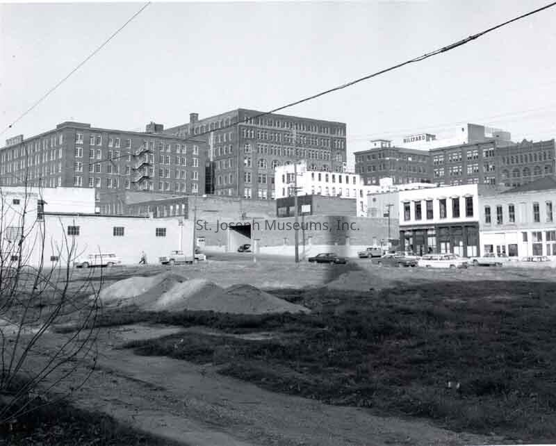
94.1H.39 = Downtown buildings as viewed from 2nd between Felix & Francis, looking north & east.. Empty lot in foreground. Tall Wyeth Building in background left and Hillyard Chemical in background right. Nov. 1970.
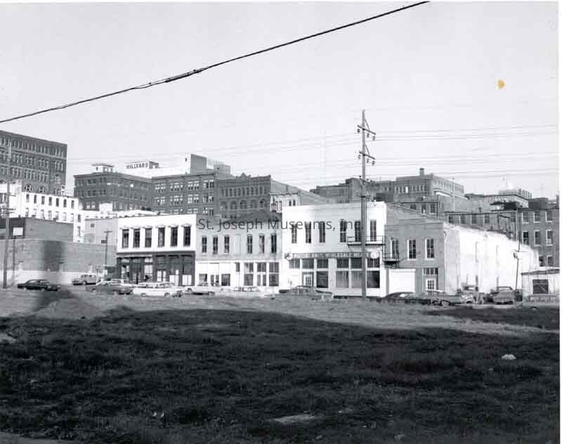
94.1H.41 = Similar to #39 above, but shows more of buildings on 2nd St. across from vacant lot. "2nd St. buildings, Francis St. at left. View to east before Urban Renewal".
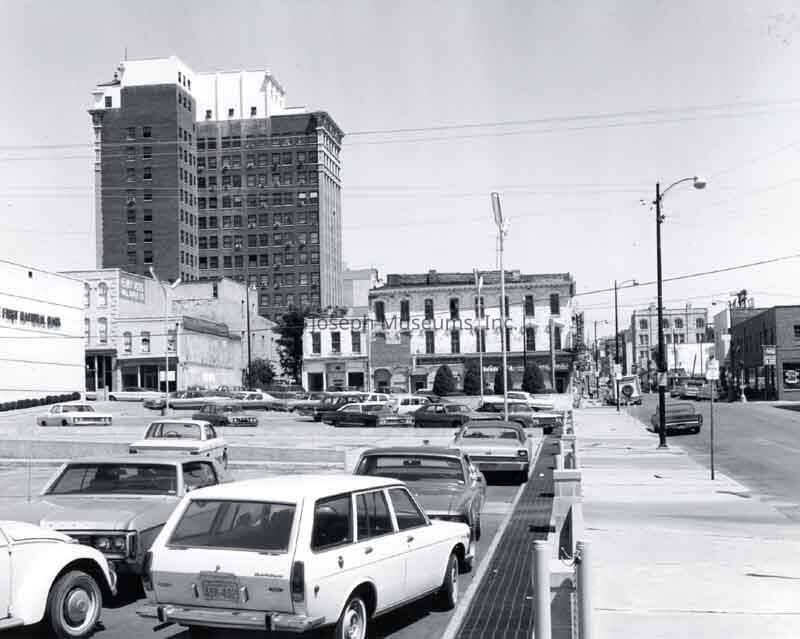
94.1H.43 = Edmond Street looking east from 3rd St. First National Bank parking lot on NE corner of 3rd & Edmond in foreground. Garland's Bar, white building beyond. Corby Building in background at photo left, Empire Trust in background at photo right. "View eastward towards intersection of 4th & Edmond." Aug. 1971
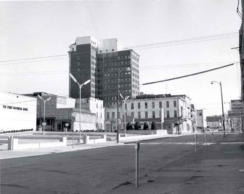
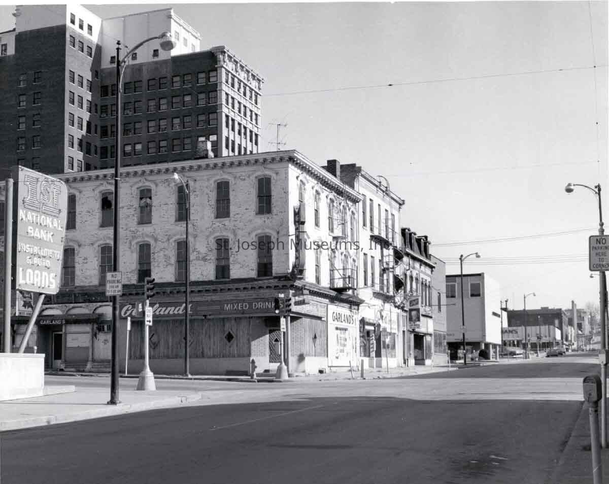
94.1H.44 = Edmond Street looking east from 3rd. First National Bank to north at photo left and Corby Building high rise in background. Garland Bar is white building beyond parking lot, Edmond St. visible to 6th. "View towards 4th & Edmond St. from south side of Edmond near 3rd. Corby building in background). Nov. 1970.
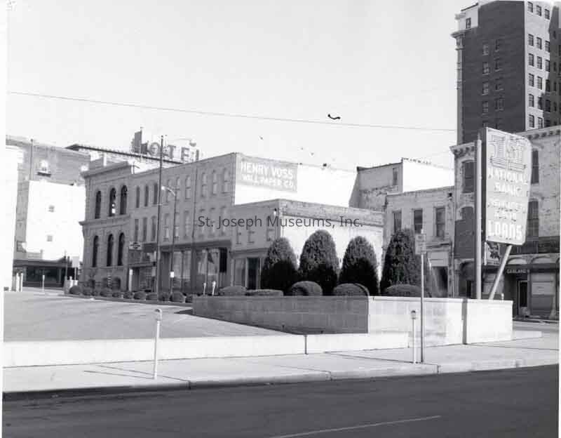
94.1H.46 = 4th Street looking north from Edmond, Corner of First National Parking lot in foreground at 4th & Edmond. Buildings on east side of 4th street below Missouri Valley Trust building at corner of 4th & Felix, includes Voss Bros. Wallpaper & Paint.. Sign from Hotel Robidoux in background on left. Corby Building at top photo right. "Buildings along east side of 4th St. between Edmond (foreground) and Felix Streets. First National Bank parking lot at left." Nov. 1970.
94.1H.47 = Edmond Street at 4th intersection looking east. Garland's Bar sign on white building on NE corner. Mechanics Bank at NE corner of 5th & Edmond on left Eshelman's Music Store seen at NE corner 6th & Edmond, Missouri Theater beyond. "Intersection of 4th & Edmond St. View to N.E.). Nov. 1970.
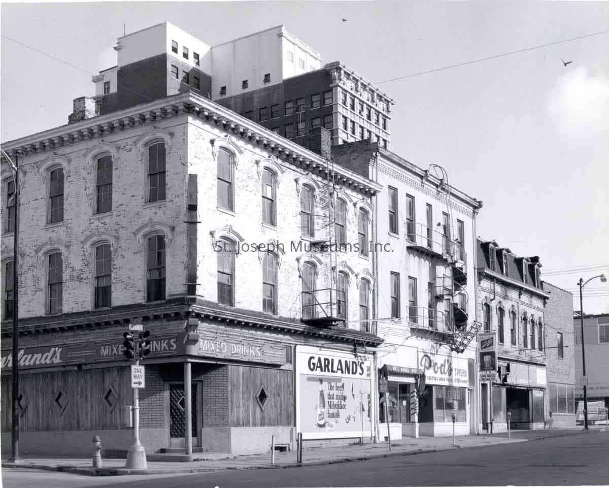
94.1H.48 = Buildings on north side of Edmond east of 4th St. 2 & 3-story commercial buildings, Corner building houses Garland's Bar, next east Pod's Tavern. Note on back indicates this was location of Robidoux Apt. where he died. "N.E. corner 4th & Edmond, View to N.E." 1970
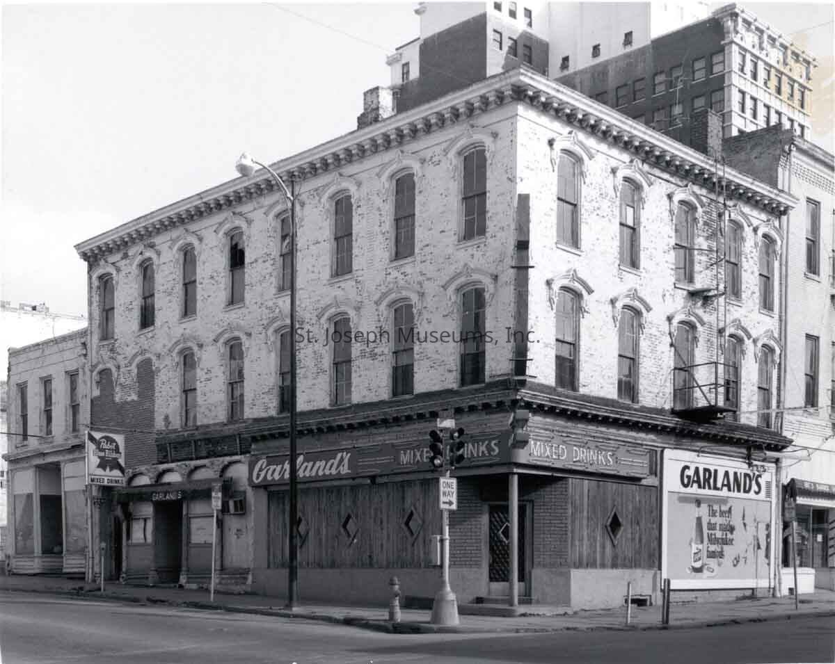
94.1H.49 = Close-up of 3-story brick building on NE corner 4th & Edmond that houses Garland's Bar. Nov. 1970.
94.1H.50 = "East Side of 4th St. between Edmond & Felix, South Half". Shows two commercial buildings, 2-story and 3 story in deteriorating condition. Vacant lot on left where building has been razed. Aug. 1971
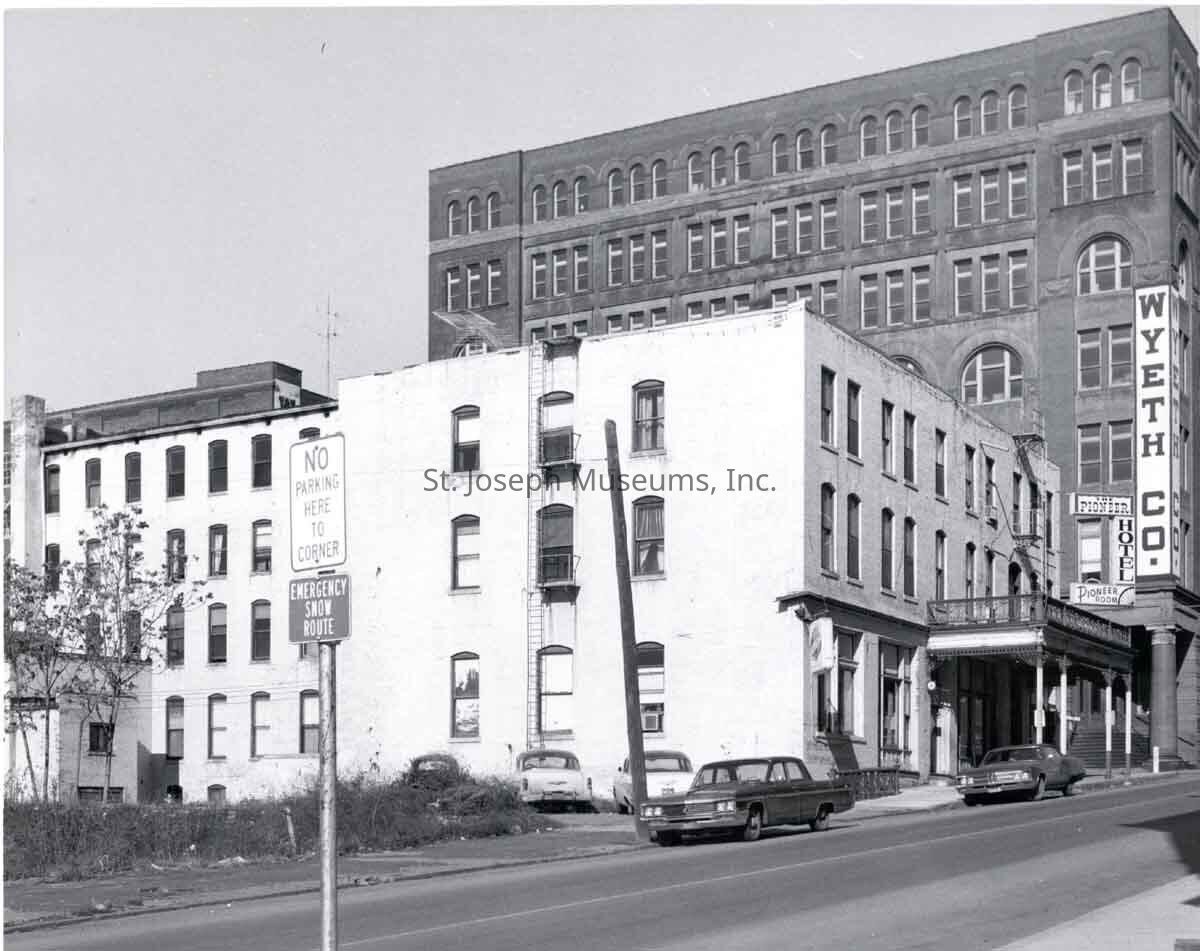
94.1H.51 = Pioneer Hotel. 3rd & Jules, 3-story white brick building with covered walk and balcony above. Sits on east side of 3rd Street on SW corner of intersection Wyeth Co building across Jules Street to north. "Pioneer Hotel on SW corner 3rd & Jules, View to NW Formerly Bacon (or Beacon) House, Winter, 64, 9 (Museum Graphic). (Razed in 1972 for Wyeth parking lot. Nov. 1970
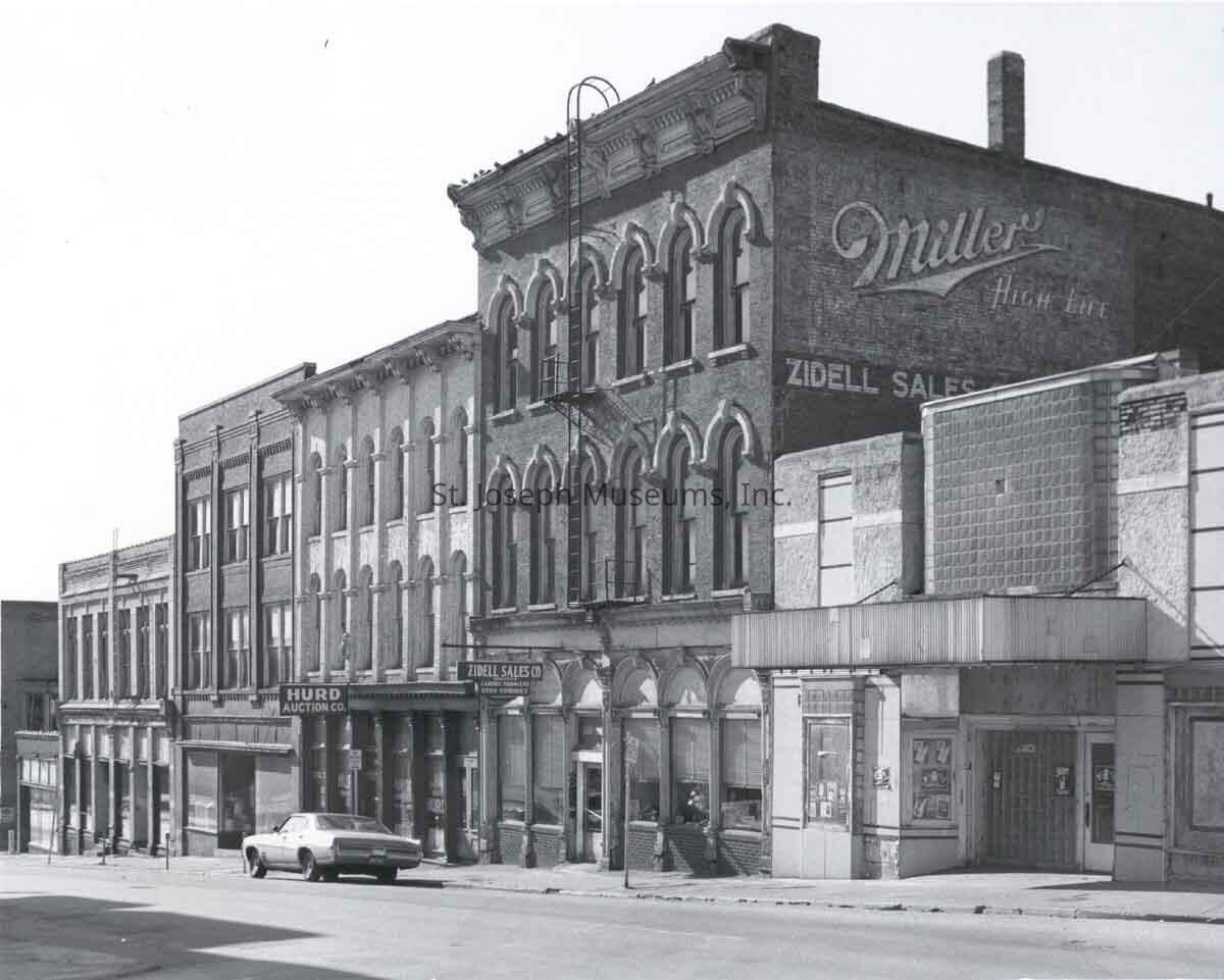
94.1H.52 = Third Street south of Francis, West side of Street. Row of commercial buildings, 2 & 3 story, brick. Includes Hurd Auction, Ziddell Sales, Jo Movie Theater. Nov. 1970
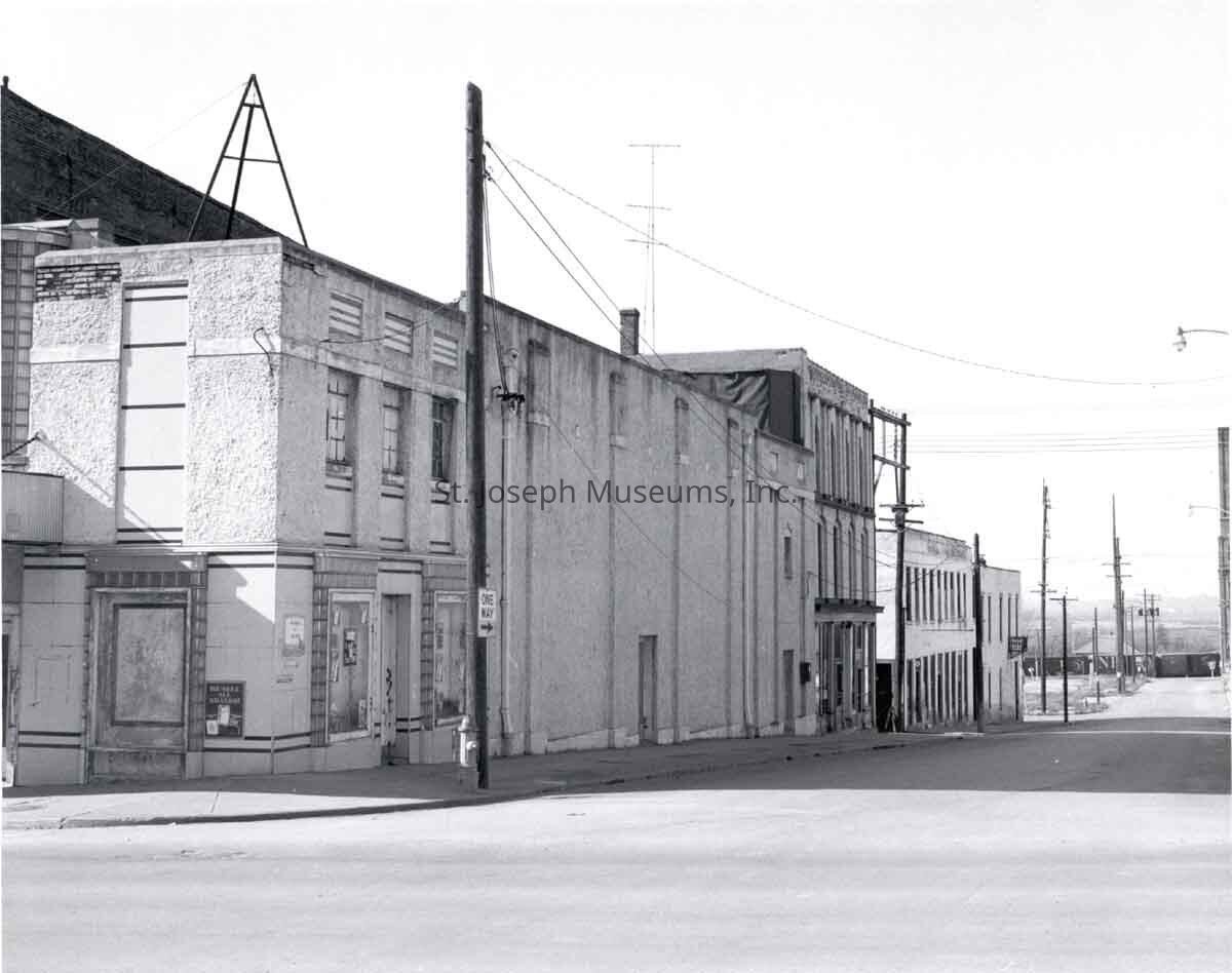
94.1H.53 = "South side of Francis Street between Third and Second Street, View to westward along Francis towards MO. River." Row of commercial building west to 2nd St. Jo Movie Theater at corner of 3rd & Francis. Railroad track in background west with train on track. Nov 1970.
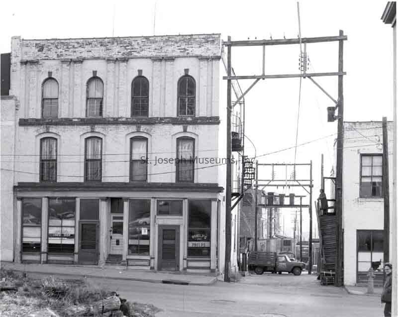
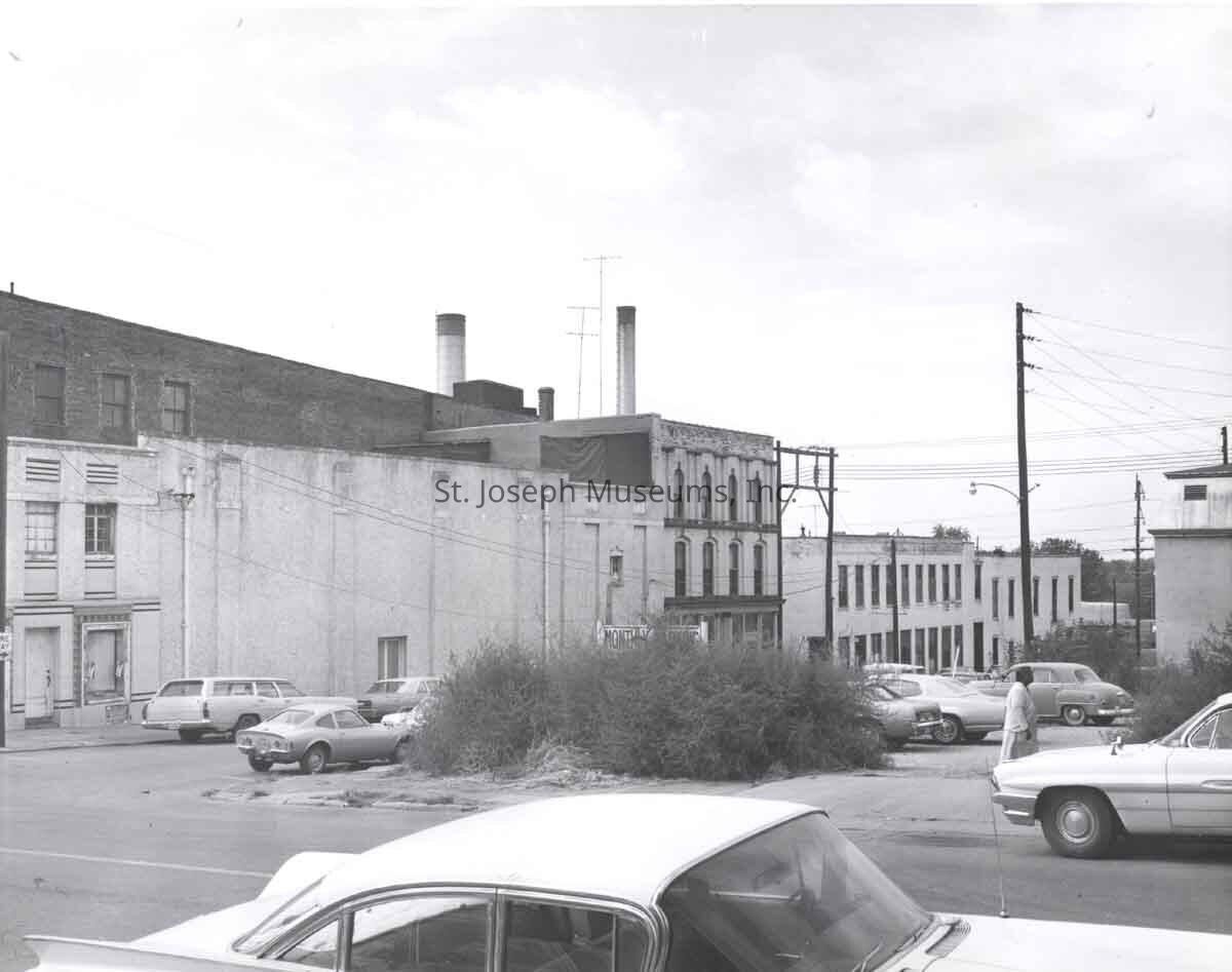
94.1H.54 = "View southward down alley towards Market Square. McLoughlin's Hall building at right (Francis St. in foreground). Hurd Auction truck in alley. Phelp's Lunch Stop on windows of building on left. Nov. 1970.
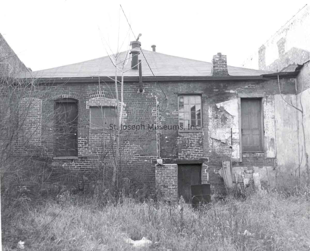
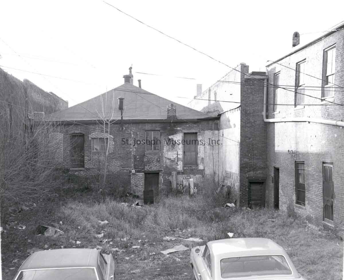
94.1H.55 & 56 = Back of 1-story brick duplex house as seen from back. Not otherwise identified. Nov. 1970.
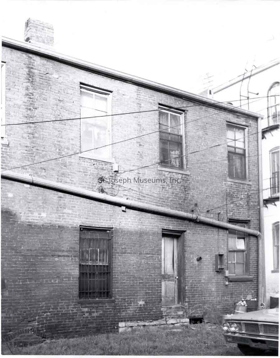
94.1H.57 = Side of a 2-story brick building, Bars on 1st floor window. Located adjacent to brick duplex in #55 & 56 above. Not otherwise identified. Nov. 1970
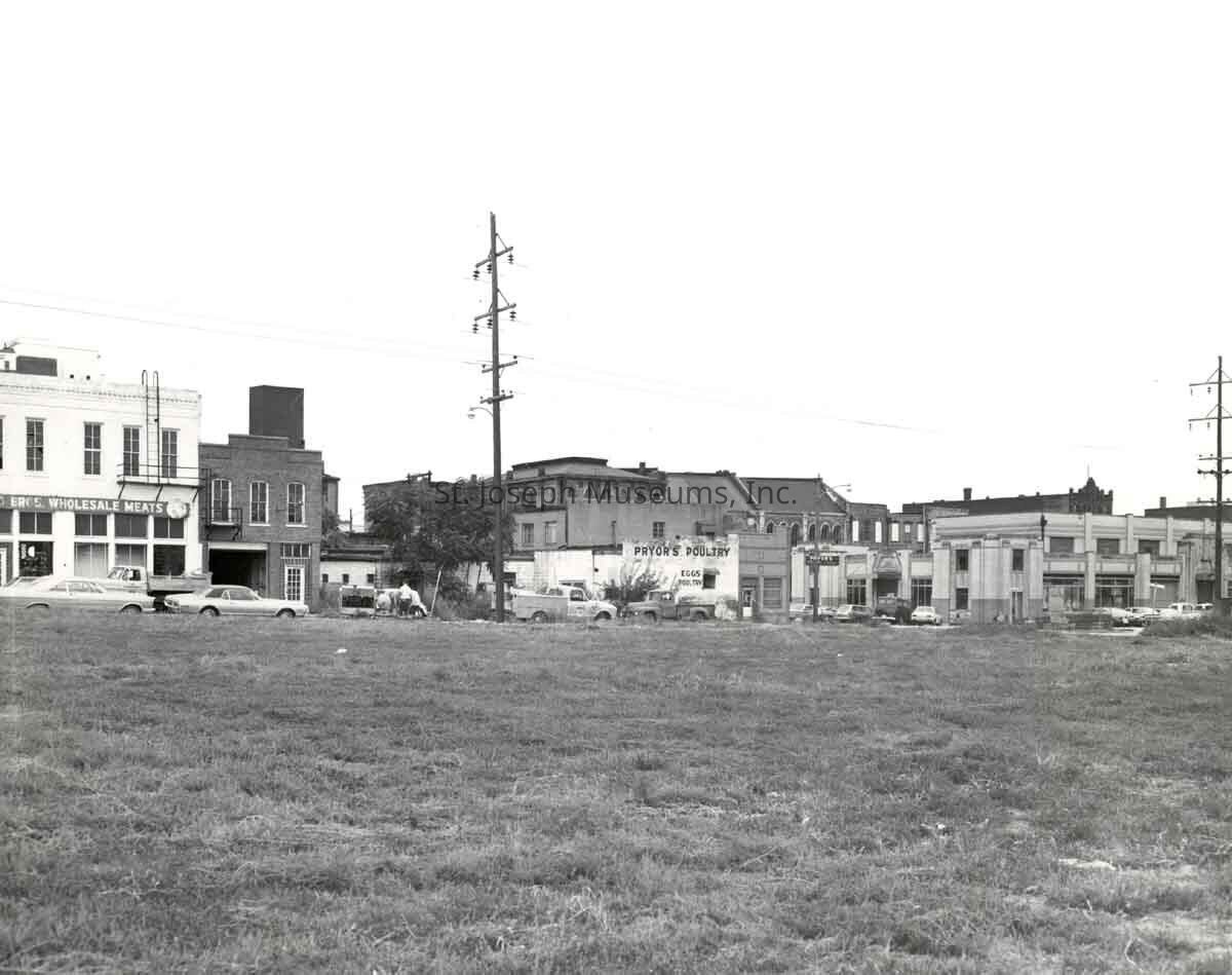
94.1H.58 = "Buildings along east side of Second St between Felix & Francis. View southeastward". Distance view of row of commercial buildings with vacant lot across street in foreground. Businesses include Wholesale Meats, Pryor's Poultry, "new" Market Buildings (at photo right), and behind them the roofs of Market Square. Sept. 15, 1971.
94.1H.59 = "Intersection of 3rd & Francis, View to S.W." More distanced view than #53 above. Taken from 3rd Street north of Francis. Sept. 15, 1971.
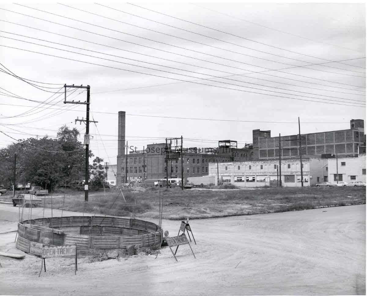
94.1H.60 = "Intersection of 2nd (not 3rd) & Felix, View to NW" Open Trench in middle of intersection, Vacant lot in photo center. Second Street sign on post. Buildings along 3rd Street in background. Sept. 15, 1971.
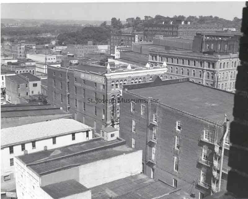
94.1H.63 = Aerial View of downtown buildings. "View northeastward from Corby Building." Features the roofs & heights of buildings, bluffs to north. American Electric Building on 4th Street in photo center. Aug. 1971.
Original digital scan located on History CD 03Made/Created
Date made
1970Place
City
St. JosephState/Province
MissouriLexicon
Nomenclature 4.0
Nomenclature Secondary Object Term
Print, PhotographicNomenclature Primary Object Term
PhotographNomenclature Sub-Class
Graphic DocumentsNomenclature Class
Documentary ObjectsNomenclature Category
Category 08: Communication ObjectsSearch Terms
Market Square, Meyer Market, Lipira Market, Sheridan Clayton Building, Sherman Restaurant Supply, Jo Movie TheaterProvenance
Notes
Photos by SJM staff photographer, Don Reynolds