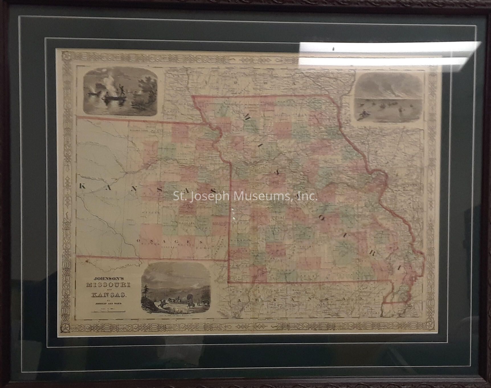
Johnson's Missouri and Kansas. Print of A. J. Johnson’s 1862 map of Missouri and Kansas. One of Johnson’s more decorative maps, this map offers a snapshot of these hotly contested states shortly following the outbreak of the American Civil War. Map shows both states in full of color coding according to county. Includes three inset woodcuts: “Fire on the Prairie”, Santa Fe From the Great Missouri Trail” and American Indians “Spearing Fish” at night from river canoes.
Depicts the two states in an early configuration with western Kansas largely Un surveyed. Notes important transcontinental routes such as the Santa Fe Road and the proposed route of the Union Pacific Railroad. Features the strapwork style border common to Johnson’s atlas work from 1860 to 1863. Published by A. J. Johnson and Ward as plate numbers 52 and 53 in the 1862 edition of Johnson’s New Illustrated Family Atlas.
Originally printed in 1862, this prints undated.
Lexicon
Nomenclature 4.0
Nomenclature Secondary Object Term
Map
Nomenclature Primary Object Term
Cartograph
Nomenclature Sub-Class
Graphic Documents
Nomenclature Class
Documentary Objects
Nomenclature Category
Category 08: Communication Objects
LOC Thesaurus for Graphic Materials
Pony express, Maps
Search Terms
Kansas History, Missouri History, Santa Fe Road, Union Pacific Railroad