Name/Title
Missouri Map Photo, 1825Entry/Object ID
P1994.1H.82Description
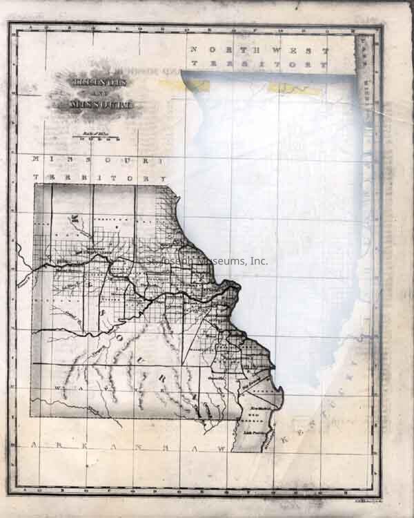
Missouri Map Photo, 1825. b/w. Map of Missouri as it appeared in 1825, four years after its statehood. (Illinois was also originally a part of the map but it has been "whited-out" in this photo.) Parts of the remaining Missouri Territory and Northwest Territory are visible. See Museum Graphic, Winter, 1957, p. 3.
Original digital scan located on History CD 03Lexicon
Nomenclature 4.0
Nomenclature Secondary Object Term
Print, PhotographicNomenclature Primary Object Term
PhotographNomenclature Sub-Class
Graphic DocumentsNomenclature Class
Documentary ObjectsNomenclature Category
Category 08: Communication Objects