Name/Title
Nevada Highway Quadrangle Maps for Counties on the Pony Express Trail, 1988Entry/Object ID
AM2020.1.315Scope and Content
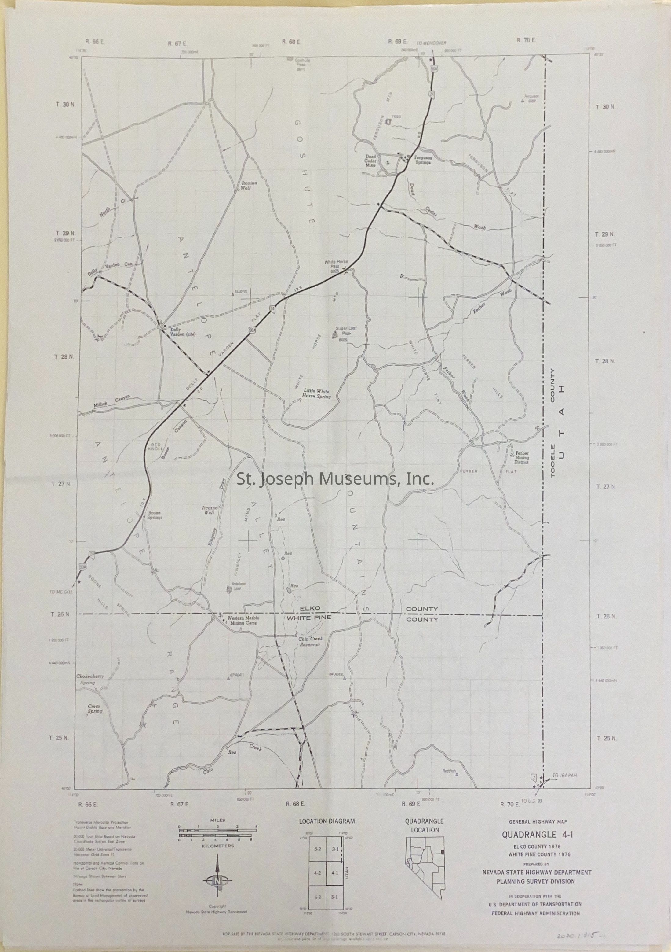
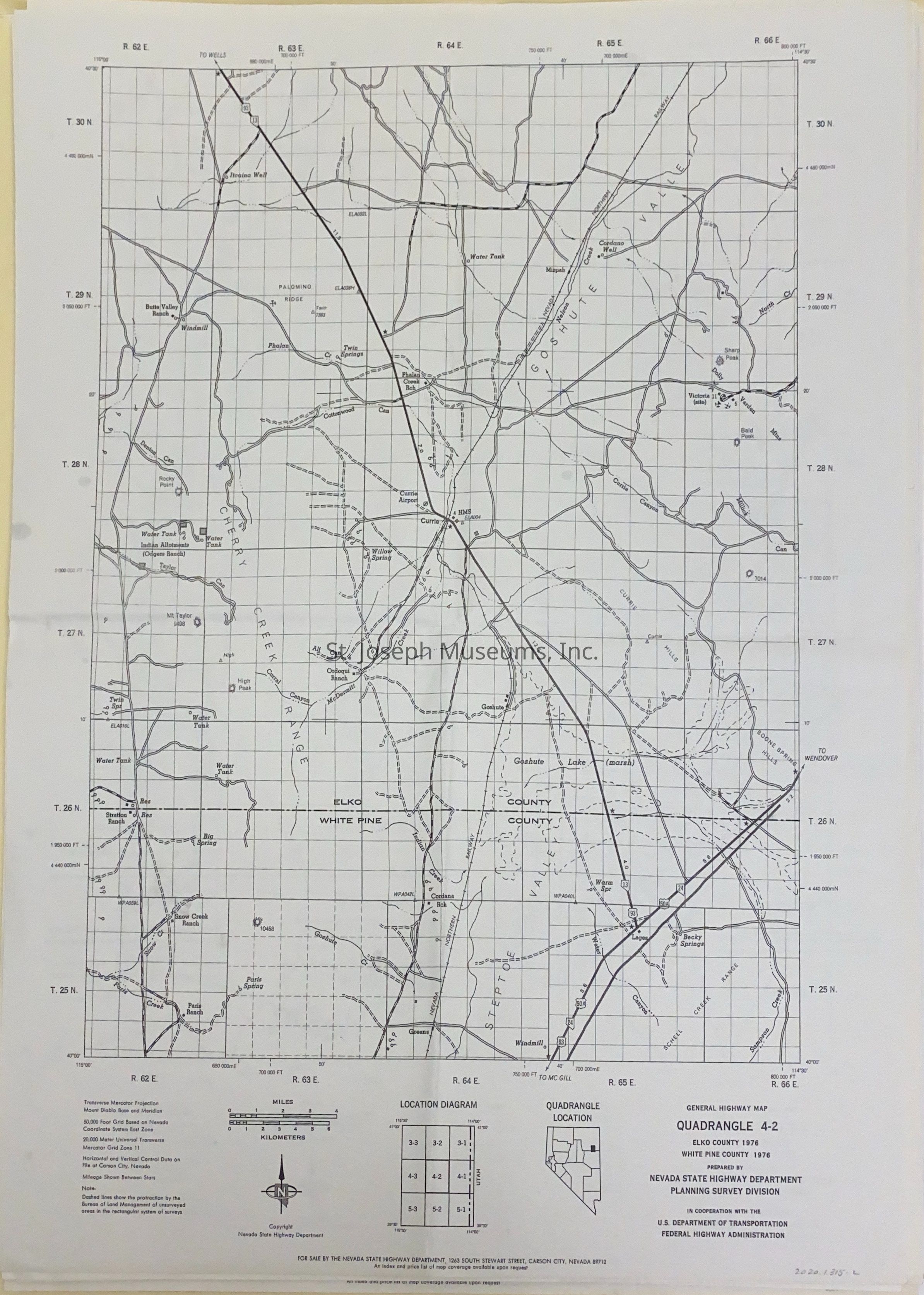
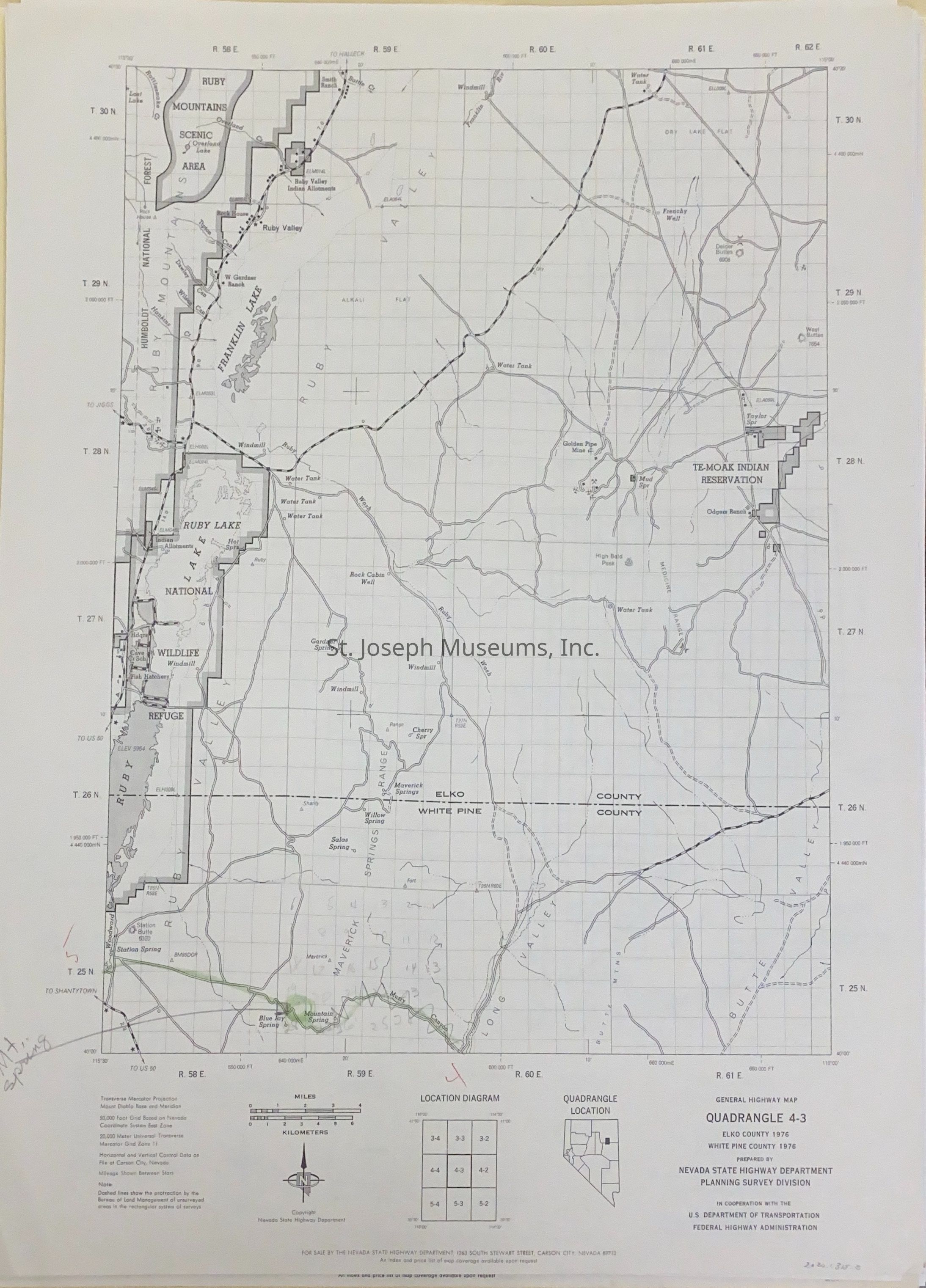
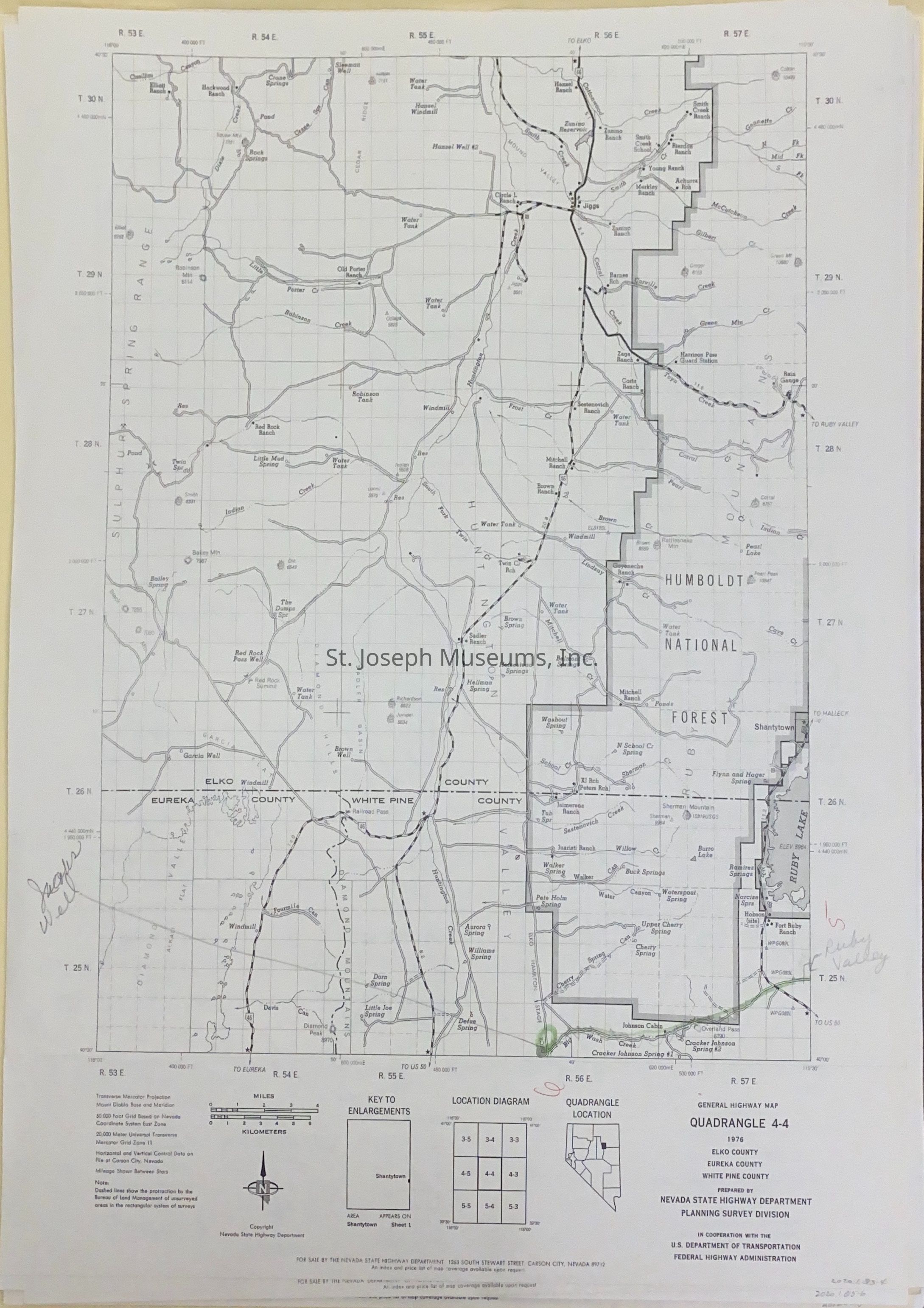
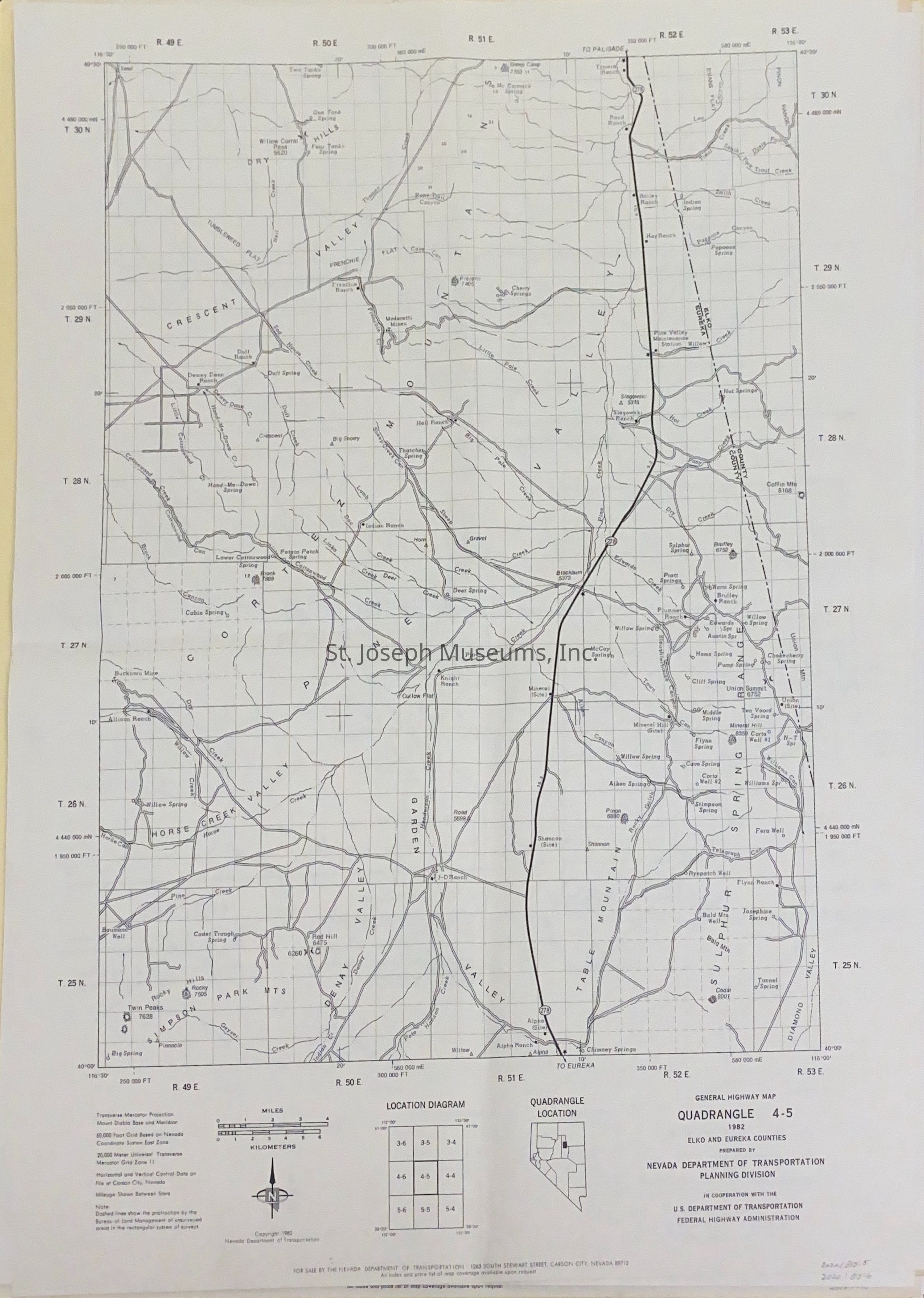
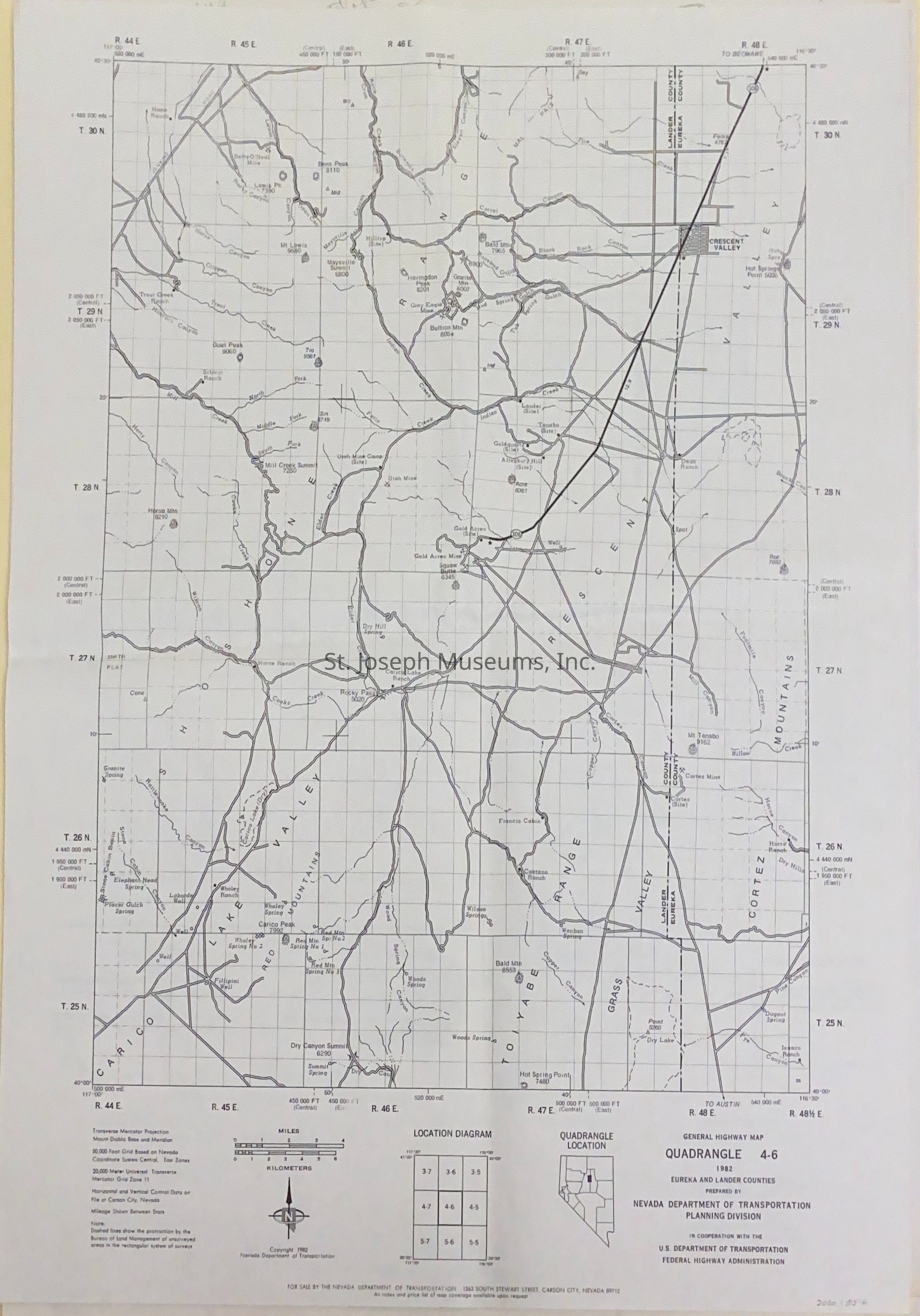
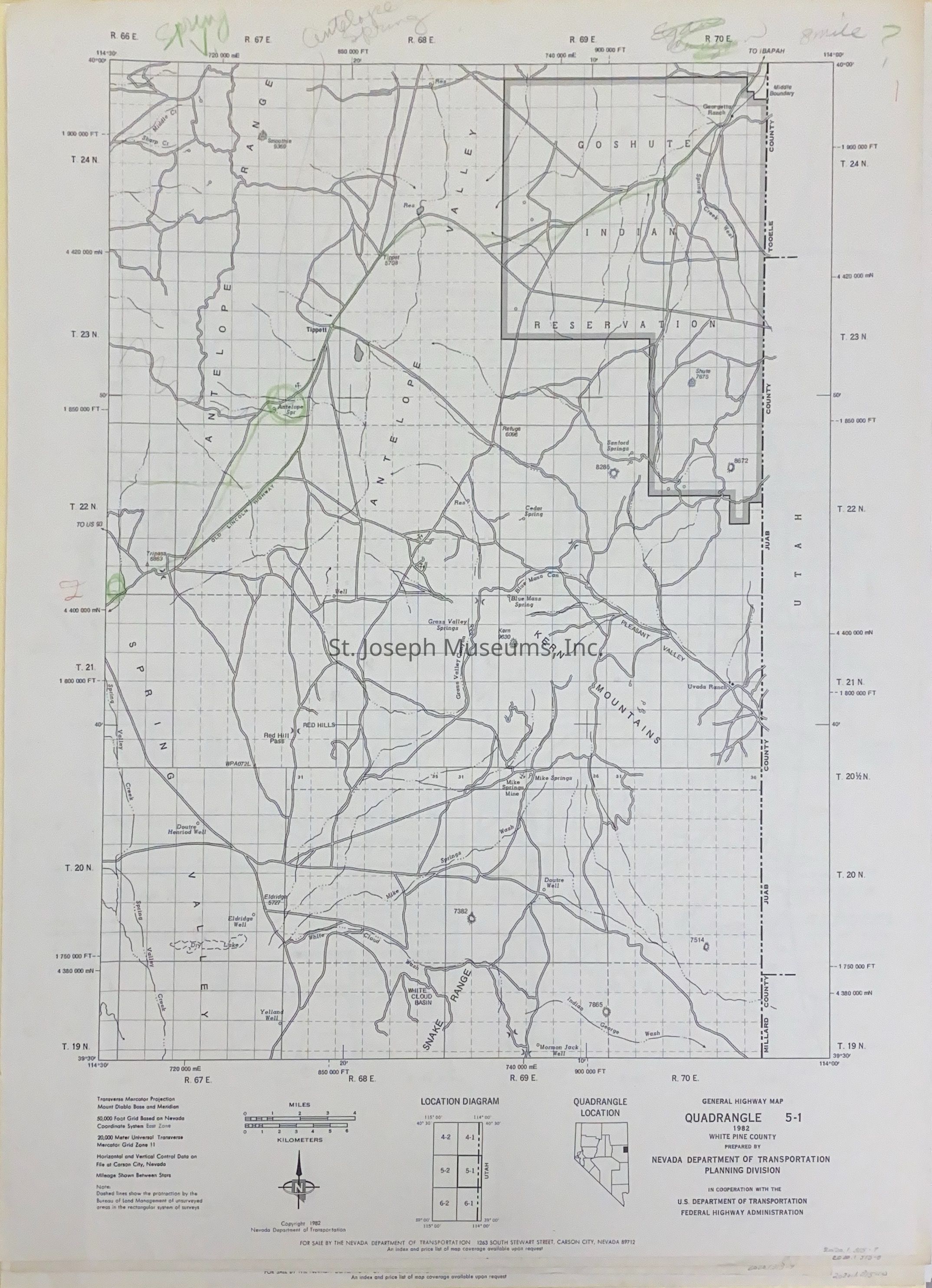
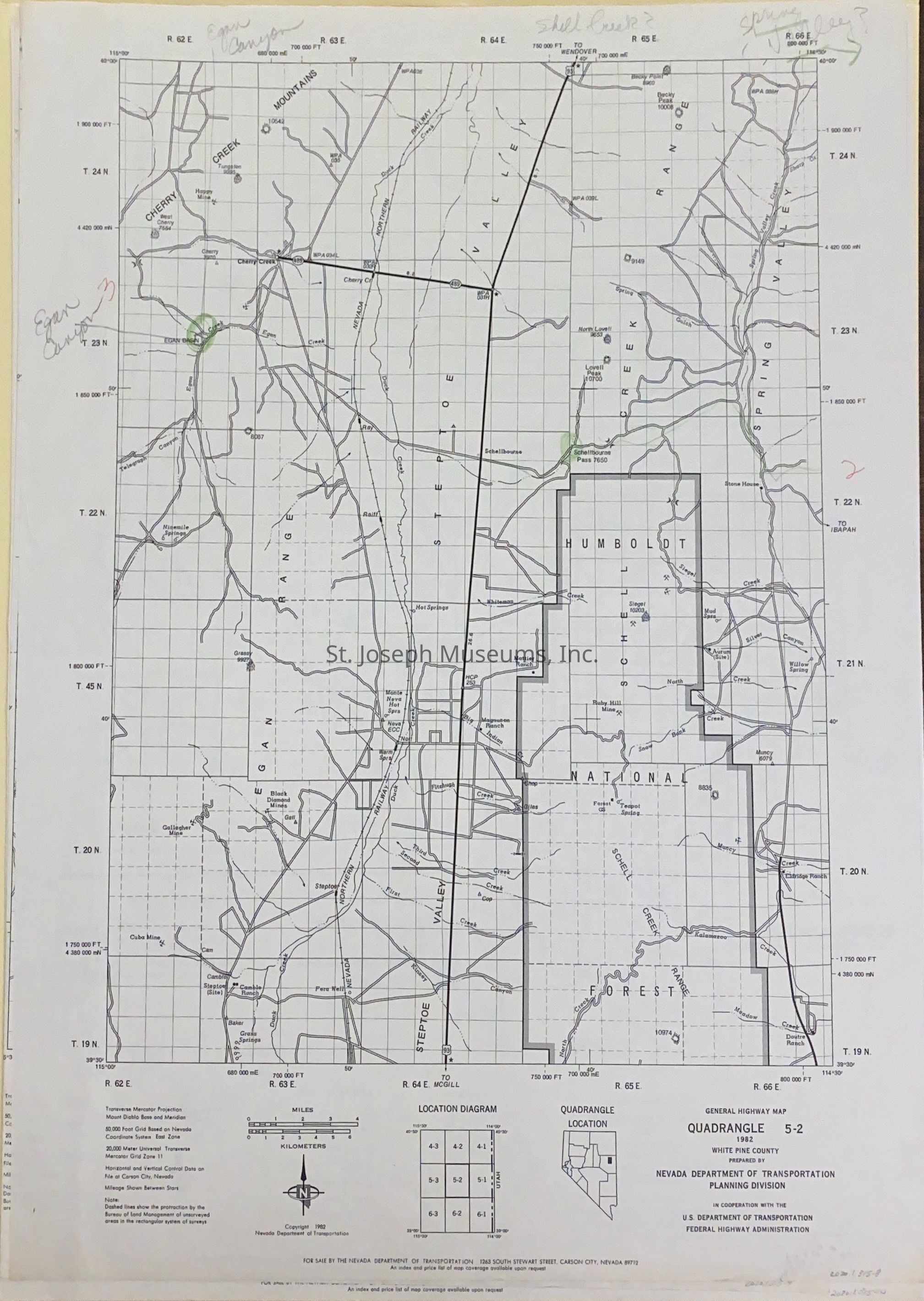
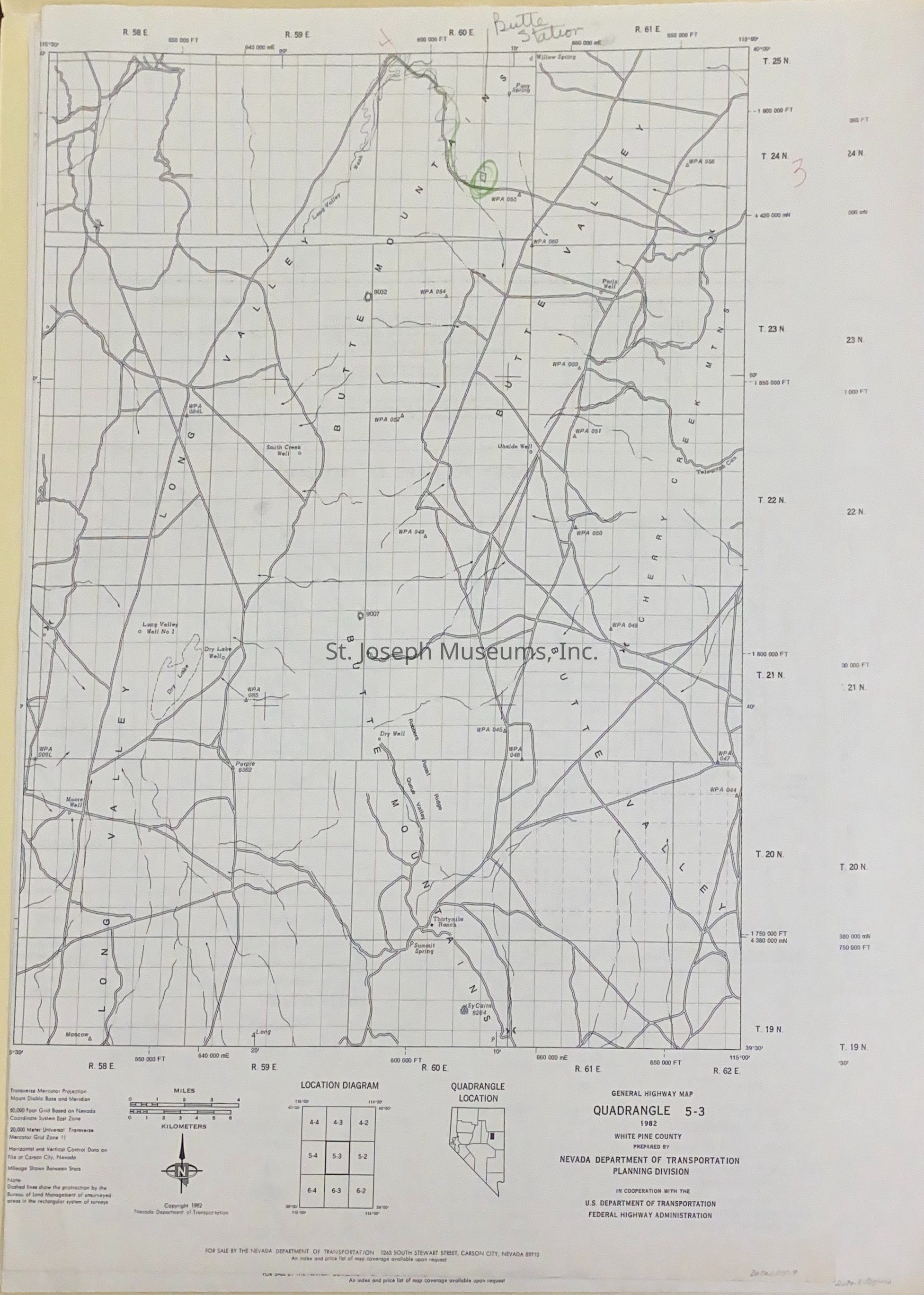
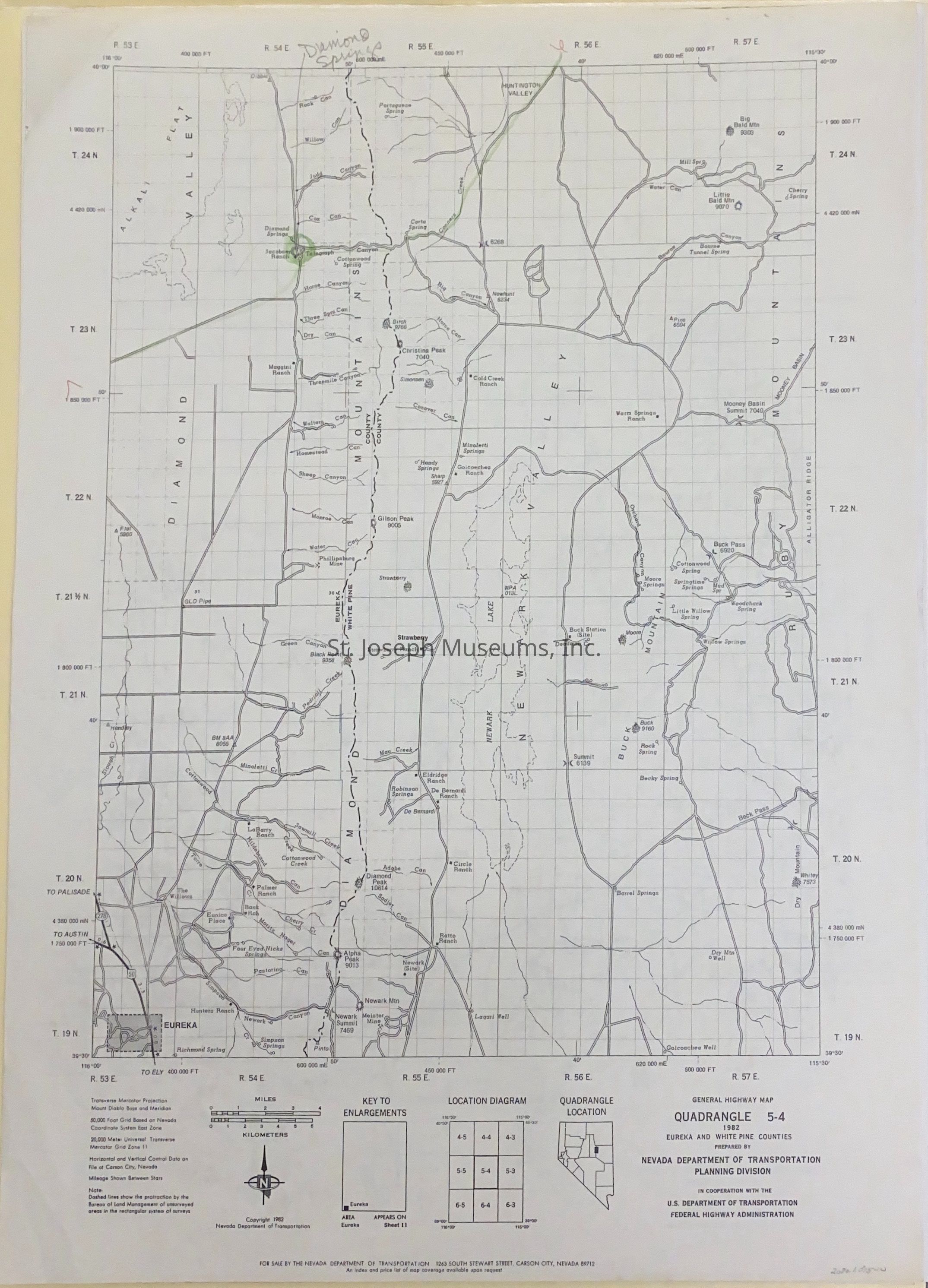
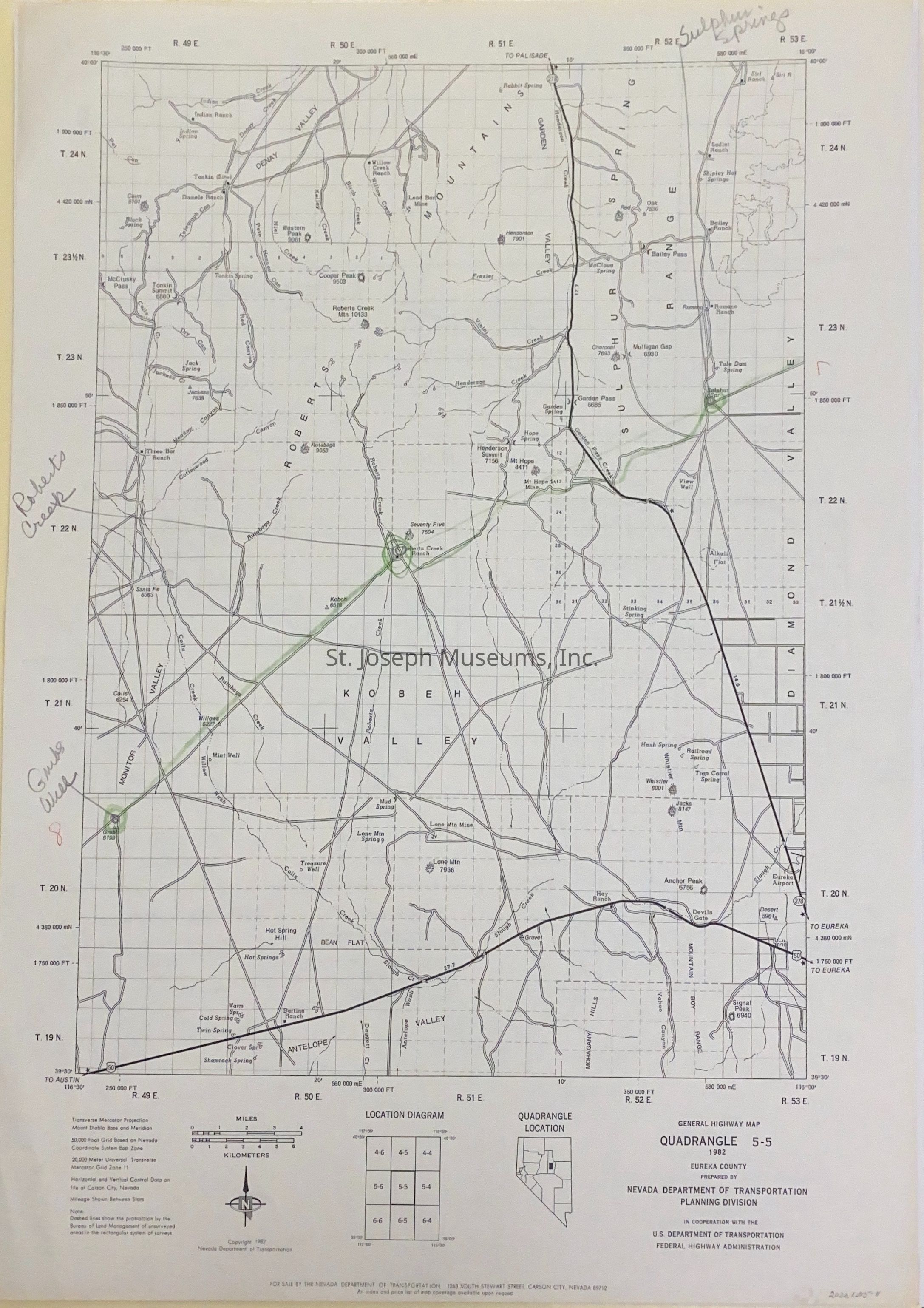
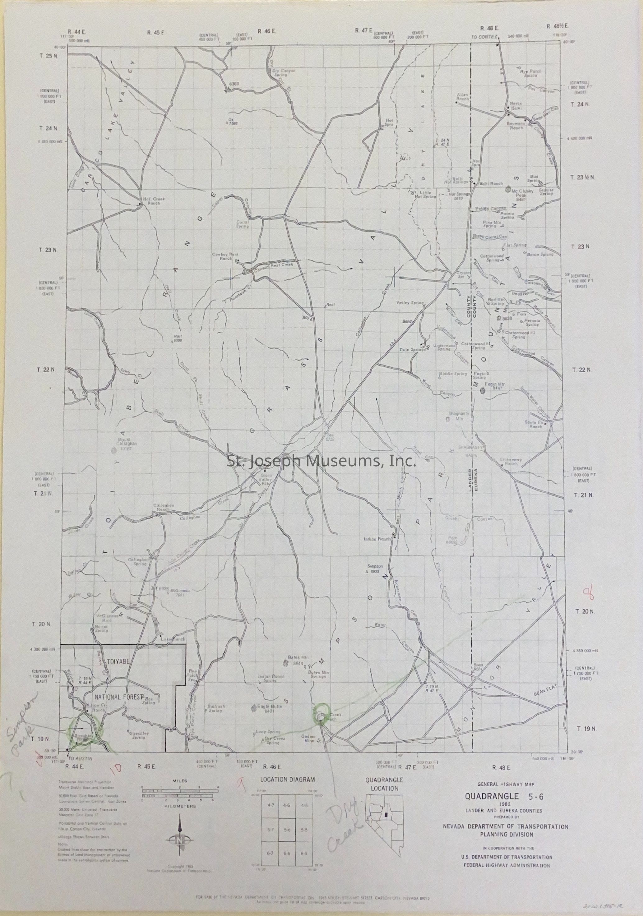
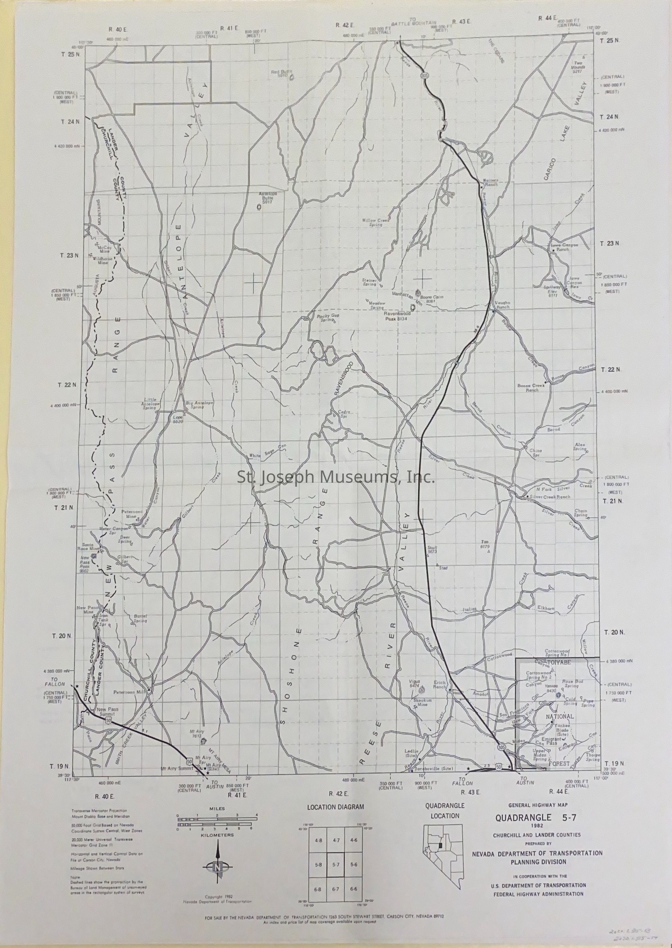
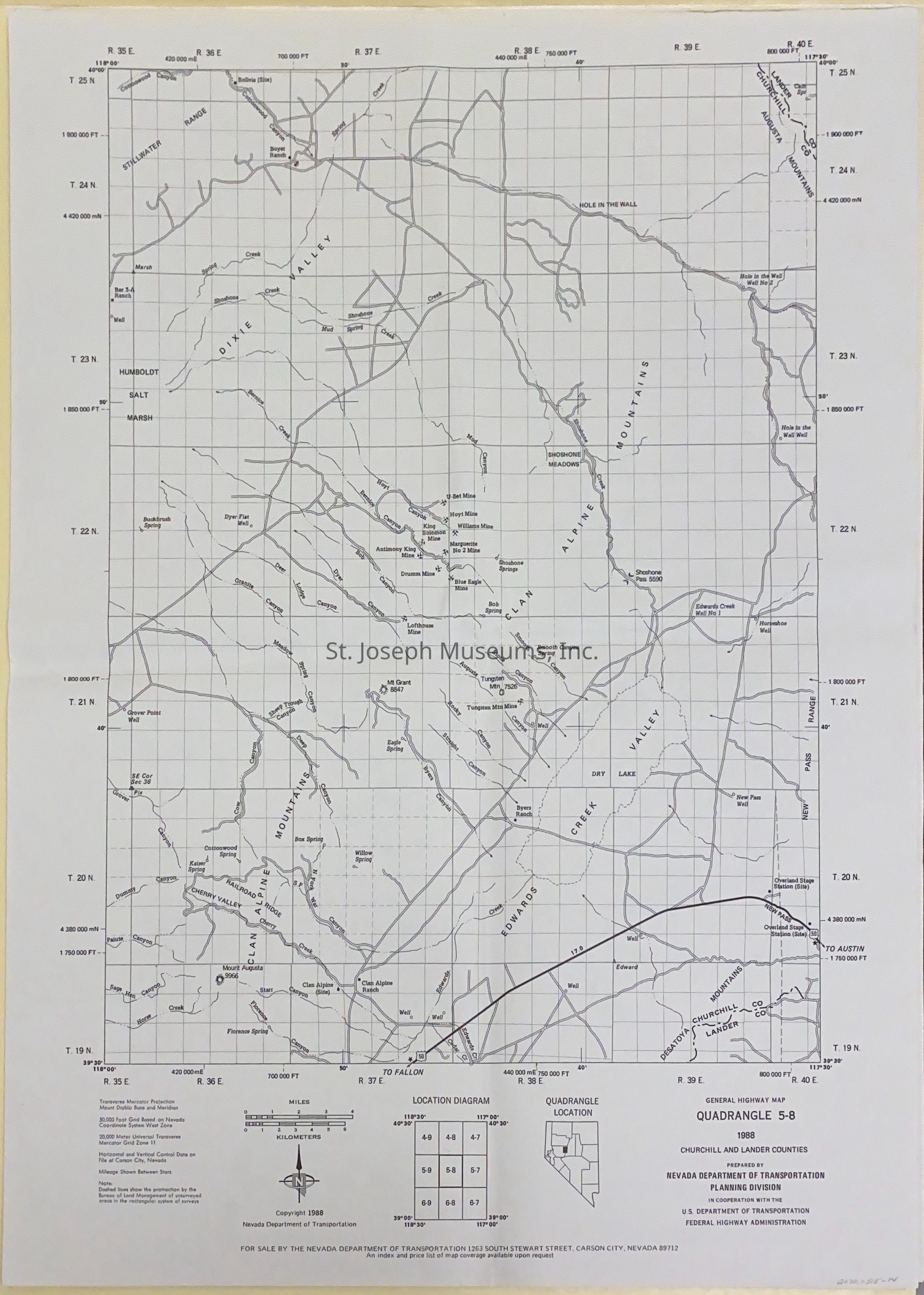
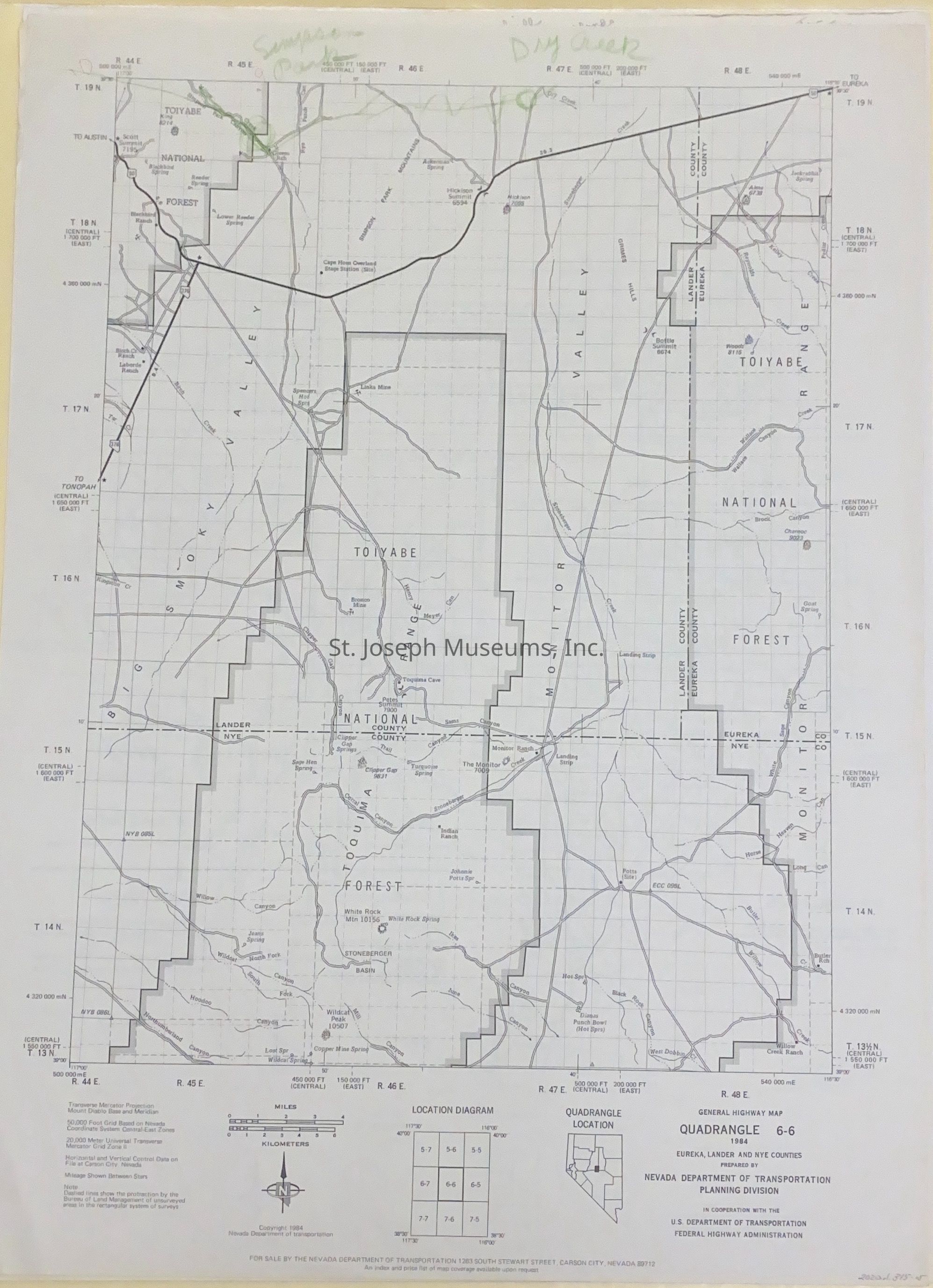
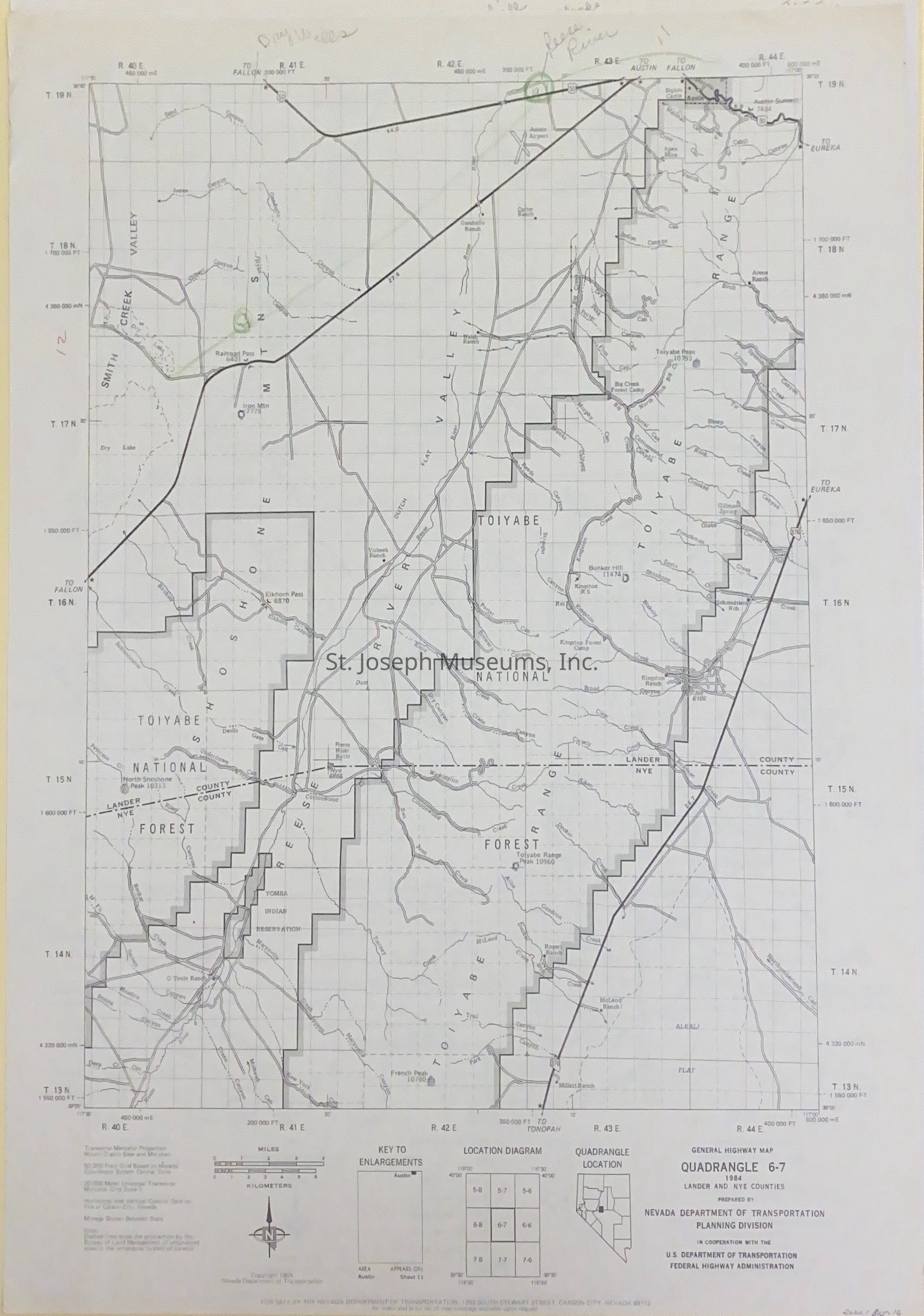
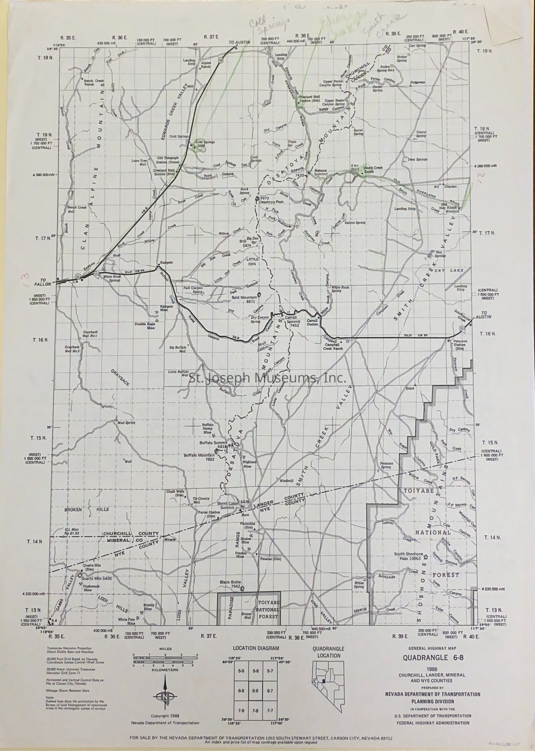
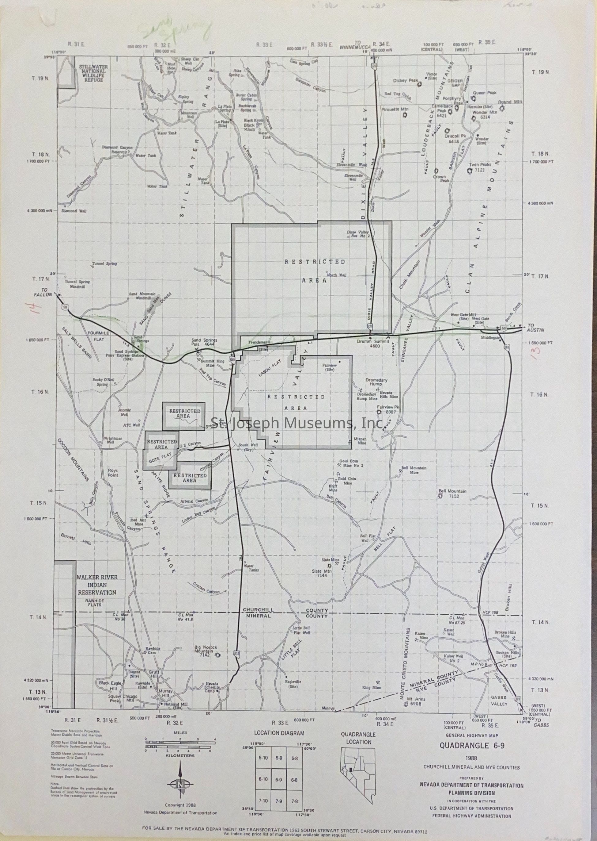
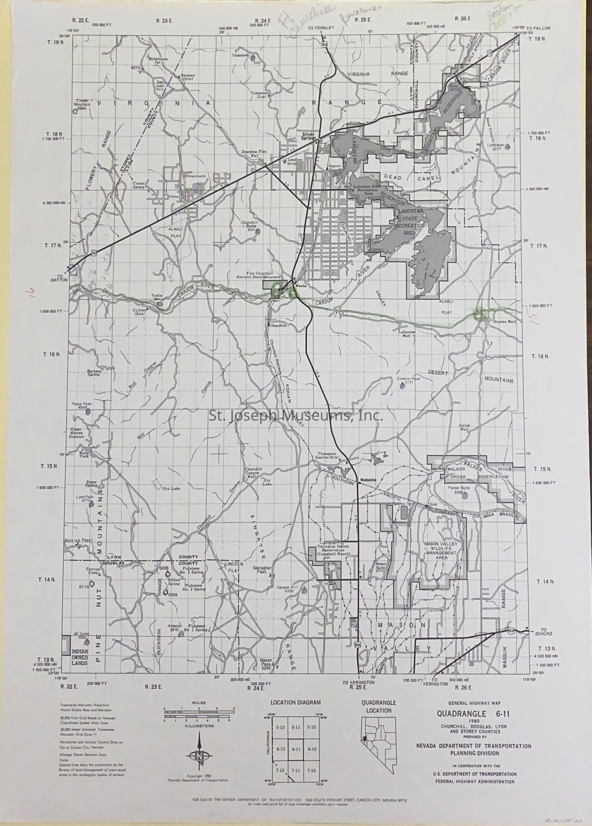
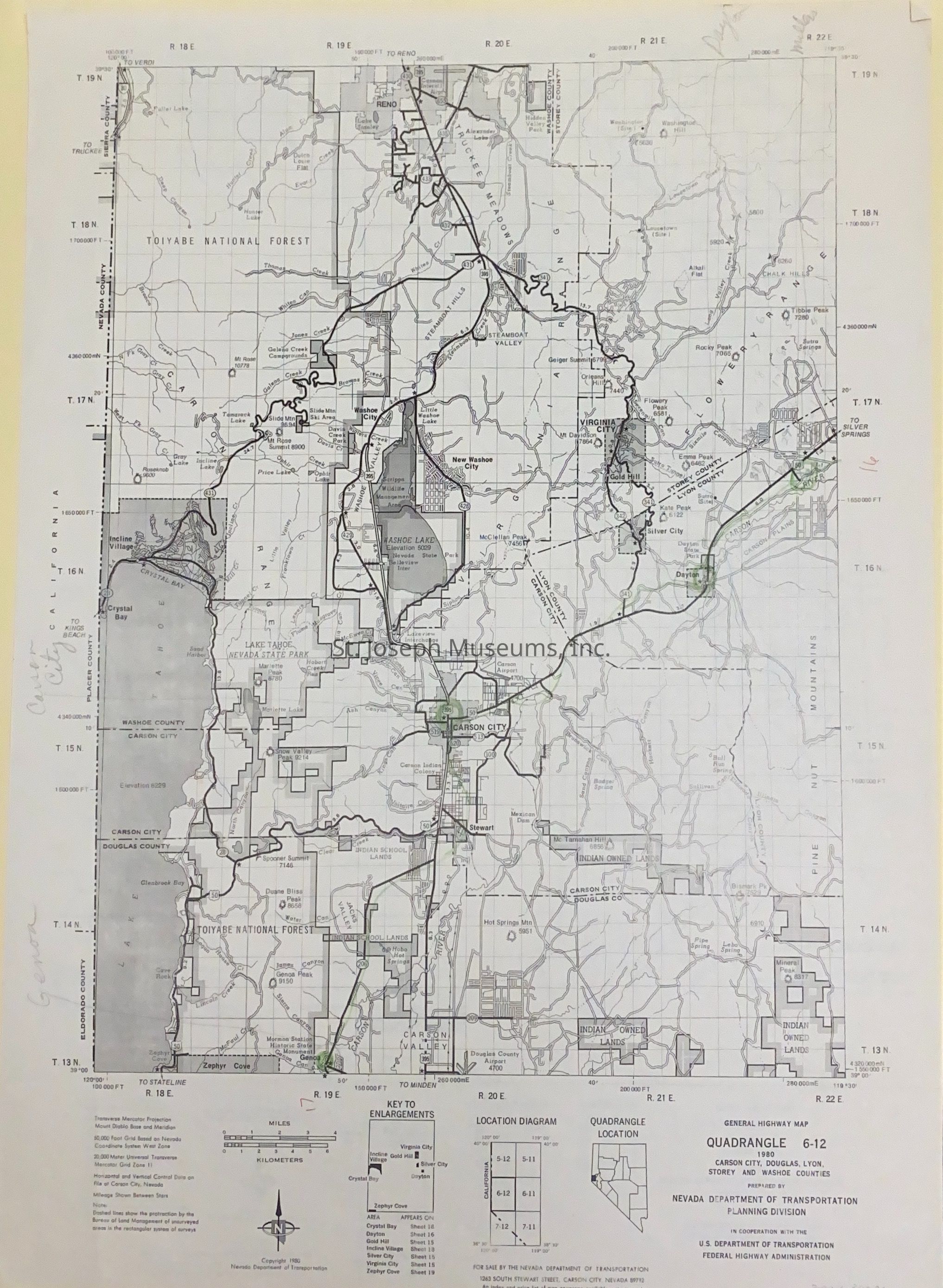
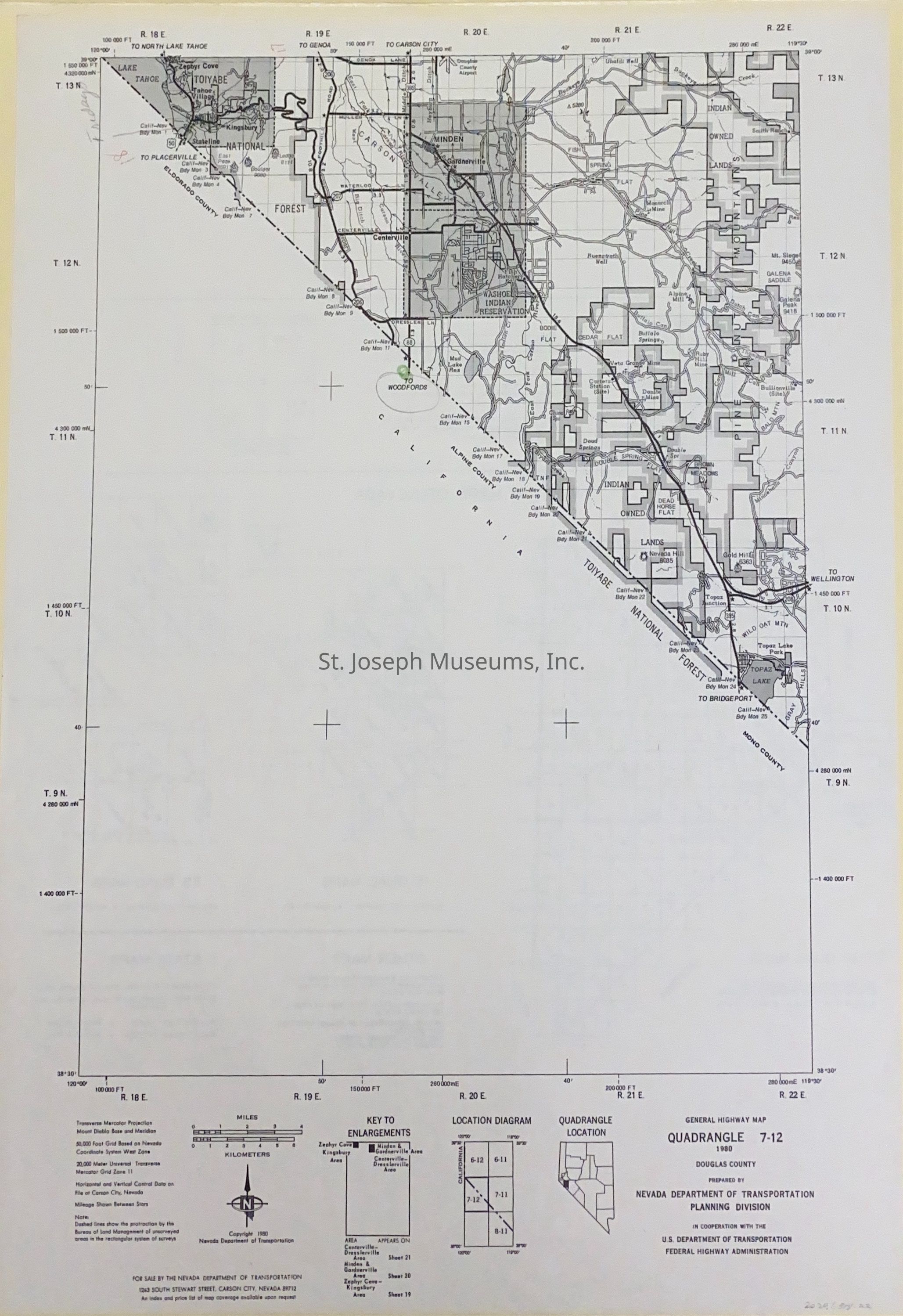
Nevada Highway Quadrangle Maps for Counties on the Pony Express Trail, 1988 Twenty-two highway maps from selected Nevada counties through which the Pony Express Trail ran. Maps dated from 1976-1988
Maps used by SJM staff when studying the route of the Pony Express. Trail is marked in green by SJM Staff.
Counties include:
--Elko County, White Pine County
--Elko County, Eureka County, White Pine County
--Elko & Eureka Counties
--Eureka & Landers Counties
--White Pine County
--Eureka County
--Churchill & Lander Counties
--Eureka, Lander and Nye Counties
--Lander & Nye Counties
--Churchill, Lander, Mineral & Nye Counties
--Churchill, Lyon & Mineral Counties
--Churchill, Douglas, Lyon & and Storey Counties
--Carson City, Douglas, Lyon, Storey & Washoe Counties
--Douglas CountyLexicon
Nomenclature 4.0
Nomenclature Secondary Object Term
MapNomenclature Primary Object Term
CartographNomenclature Sub-Class
Graphic DocumentsNomenclature Class
Documentary ObjectsNomenclature Category
Category 08: Communication ObjectsLOC Thesaurus for Graphic Materials
Pony expressSearch Terms
Pony Express Trail, Nevada Maps