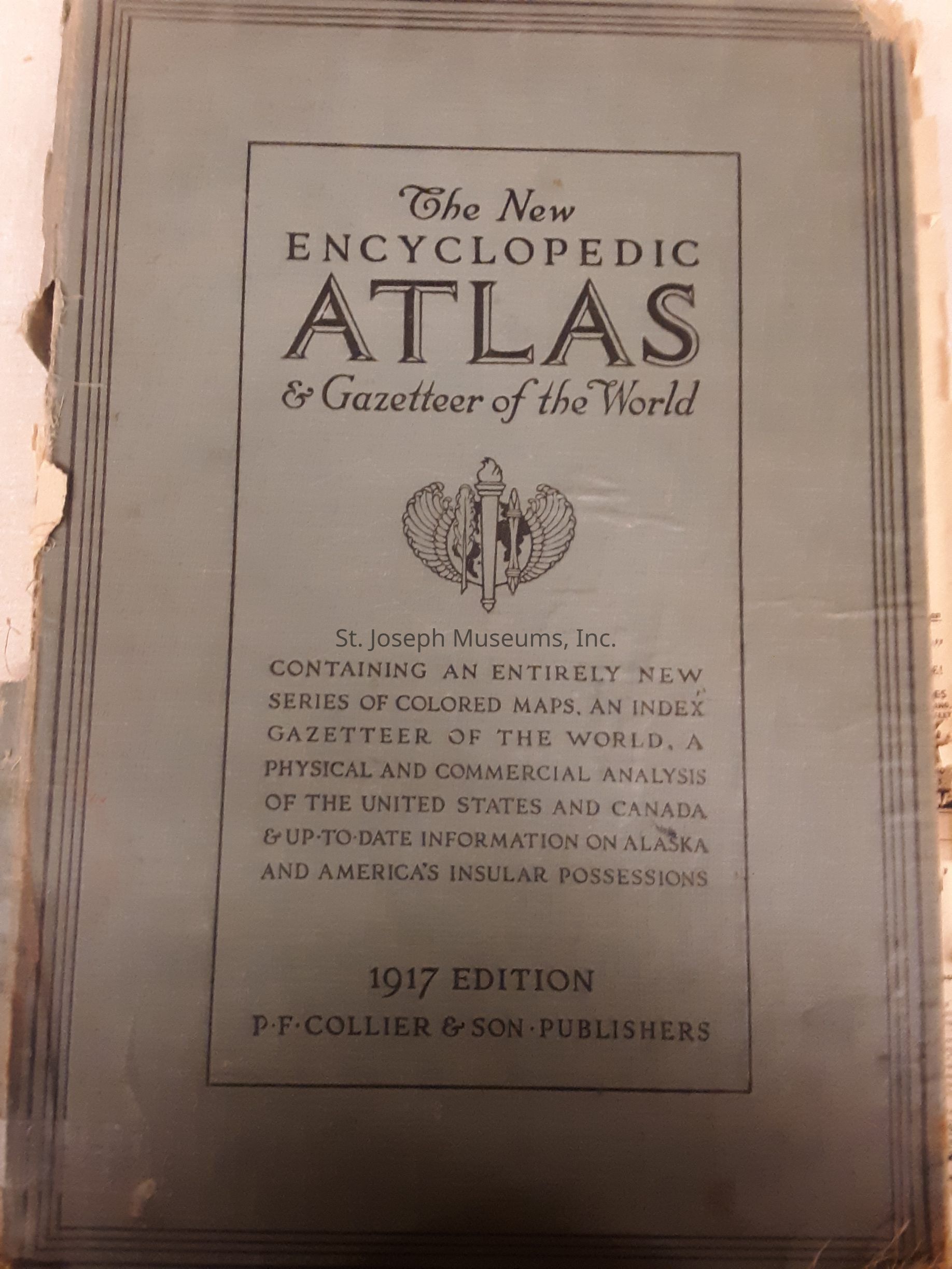
New Encyclopedic Atlas and Gazeteer of the World 1917

Name/Title

New Encyclopedic Atlas and Gazeteer of the World 1917

Entry/Object ID

L1979.28.121

Description

The New Encyclopedic Atlas and Gazetteer of the World. World maps revised to 1917 showing boundaries of all foreign states and their dependencies. Including newly organized counties and other state changes within the United states. There is up-to-date (1917) information on Alaska and America's insular possessions with new Canadian maps and latest (1917) population and production statistics of all countries and cities of the world as well as Latest (1917) maps of war Zones. The book is illustrated. 264/Hardbound/Illustrations/Photographs/Maps/Tables

Lexicon

Nomenclature 4.0

Nomenclature Primary Object Term

Book

Nomenclature Sub-Class

Other Documents

Nomenclature Class

Documentary Objects

Nomenclature Category

Category 08: Communication Objects

LOC Thesaurus for Graphic Materials

Oceans, Maps, Transportation, Railroads

Search Terms

War Maps, Railroad Maps, Physical and Commercial Analysis, Cities and Towns, American Railroads, United States, North America, Latin America, Asia, Europe, Australia & New Zealand, North Pole, South Pole, Political, Demographics, World War I, Atlas
Book Details

Author

Reynolds, Francis J., Editor

Place Published

City

New York City

State/Province

New York

Date Published

1917

Call No.

Geography RE

Notes

Copy No.: 1

Condition

Overall Condition

Poor