Name/Title
PhotographEntry/Object ID
2020.25.1543Description
Circa 1959
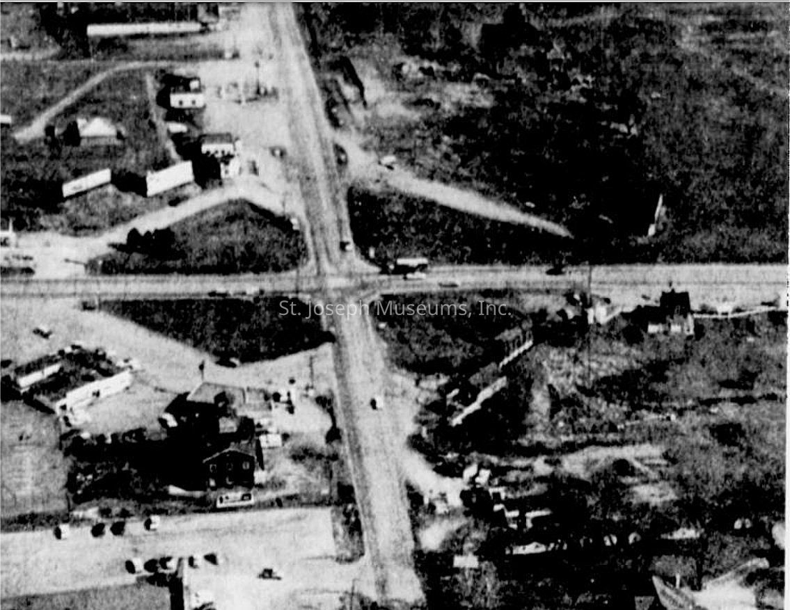
AERIAL VIEW
North Belt Highway & Frederick Avenue
https://www.stjosephmemorylane.com/aerials/aerials.htmlContext
Circa 1959
AERIAL VIEW
North Belt Highway & Frederick Avenue
The city limits had just been extended to the Belt Highway in 1959 due to annexation
In 1959, 10,000 cars per day passed through this intersection
This aerial view shows the US Highway 36 (Frederick Avenue) and US Highway 71 (Belt Highway) intersection looking eastward