Name/Title
PhotographEntry/Object ID
2020.25.1578Description
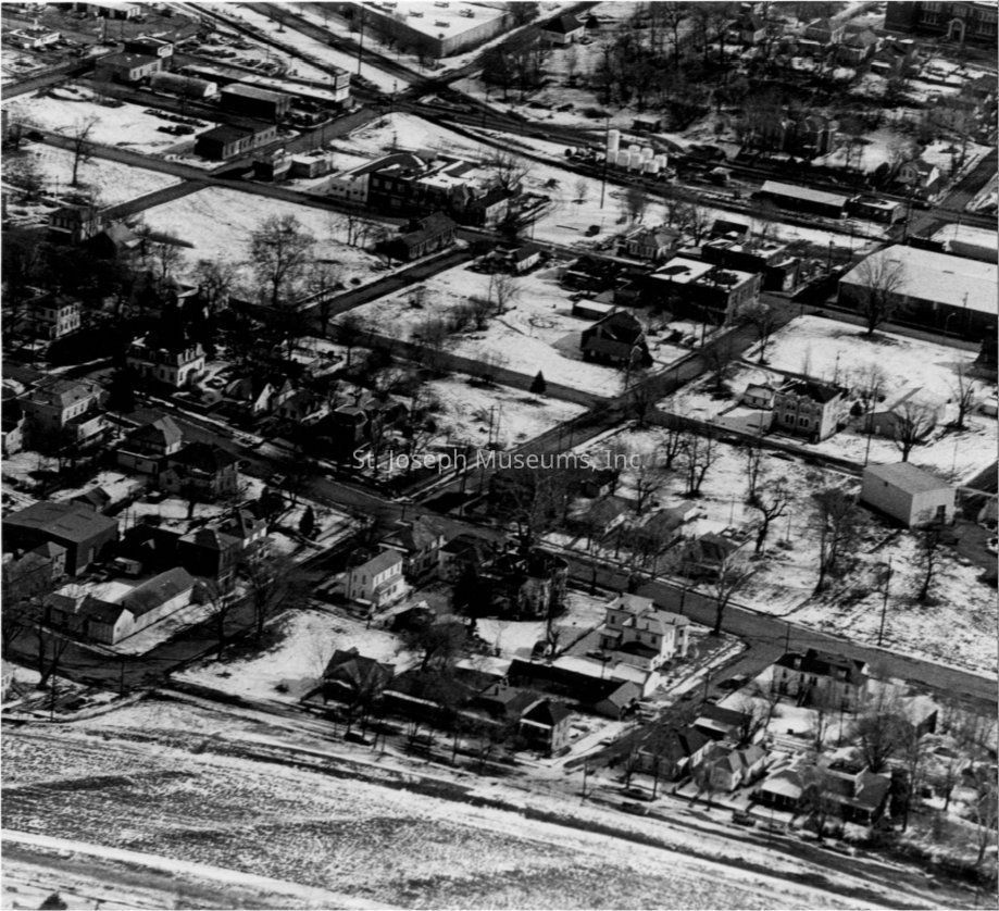
AERIAL VIEW OF NORTH ST JOSEPH
Circa: 1970s
https://www.stjosephmemorylane.com/aerials/aerials.htmlContext
AERIAL VIEW OF NORTH ST JOSEPH
Circa: 1970s
The hill at the bottom of the photo was created by I-229 construction, and is just to the south of the overpass over Prospect Avenue, near that Pony Express rock mural in the grass. Notice from the bottom right to the top left where buildings have been removed. That was where the St. Joseph Avenue extension to I-229 now exists. You can also see the southern beginning of Maple Leaf Boulevard as it bends to the right off 4th Street at the top of the photo.
The above description was provided by Mark Robreau