Name/Title
Point, ProjectileEntry/Object ID
1999.27.2047Description
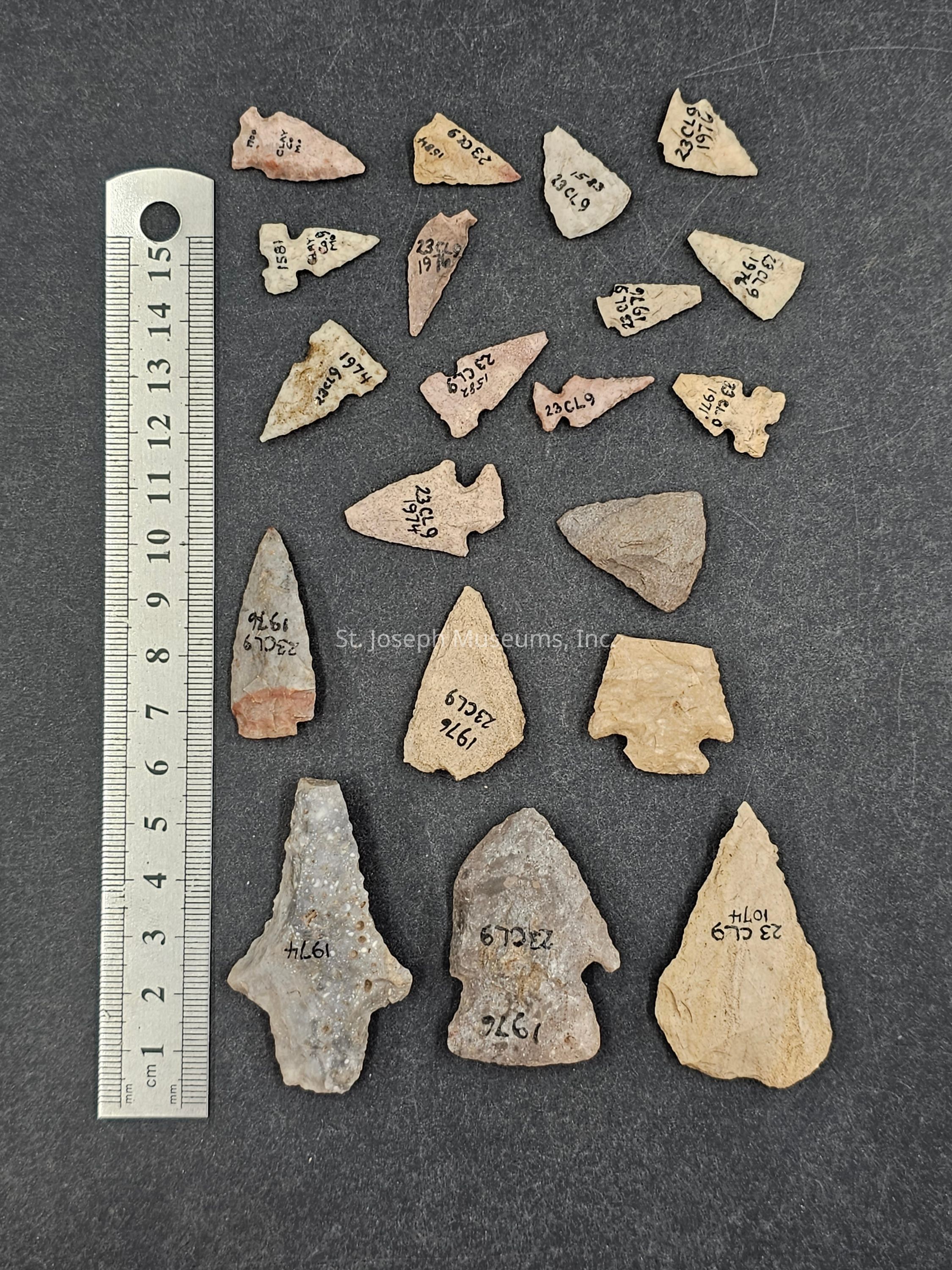
1 BAG OF 20/MISSISSIPPIAN/BIFACE/PROJECTILE POINTS/ARROWHEADS/SOME WOODLAND/VARIOUS SIZES
Includes a note that reads:
23CL9 on ex Sheriff Thompson land
Catalog No's 1971 April 25, 1941
Located on low hill on west of the Brush Creek valley at its junction with the old flood plain of the Missouri River. The land is the lower end of the slope from the north and the site is just west of the property fence (60 ft) and within 20 ft of the abrupt slope to the flood plain. Fired clay daub is present indicating houses, the artifacts suggest Mississippian occupation but a little Woodland or possibly NebraskaCollection
Shippee Archaeological CollectionLexicon
Nomenclature 4.0
Nomenclature Primary Object Term
Point, ProjectileNomenclature Sub-Class
Edged WeaponsNomenclature Class
ArmamentsNomenclature Category
Category 05: Tools & Equipment for Science & TechnologyRelationships
Related Places
Place
Location
23 CL 9County
Clay CountyState/Province
MissouriNotes
Site Number: 23 CL 9