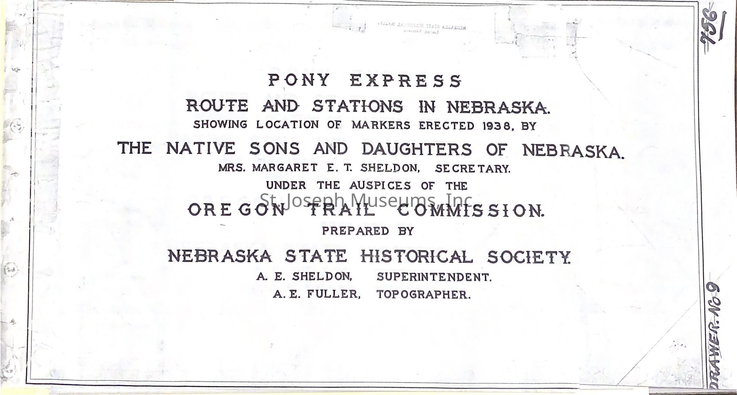
Pony Express Trail in Nebraska Section Maps, c. 1938
Entry/Object ID
AM2020.1.322
Scope and Content
Pony Express Trail in Nebraska Section Maps, c. 1938. Photocopies of twenty-three maps of Nebraska sections where the Trail crossed. And two maps of N.E. Kansas with the Nebraska border.
Includes:
--Pony Express Route and Stations in Nebraska, showing location of markers erected 1938 by Native Sons and Daughters of Nebraska. Under the Auspices of the Oregon Trail Commission, prepared by Nebraska State Historical Society.
--Map of Rock Creek Stations before 1870
--Northeast Kansas in the Fifties.
Lexicon
Nomenclature 4.0
Nomenclature Secondary Object Term
Map
Nomenclature Primary Object Term
Cartograph
Nomenclature Sub-Class
Graphic Documents
Nomenclature Class
Documentary Objects
Nomenclature Category
Category 08: Communication Objects
LOC Thesaurus for Graphic Materials
Pony express
Search Terms
Pony Express Trail, Pony Express Trail in Nebraska, Nebraska