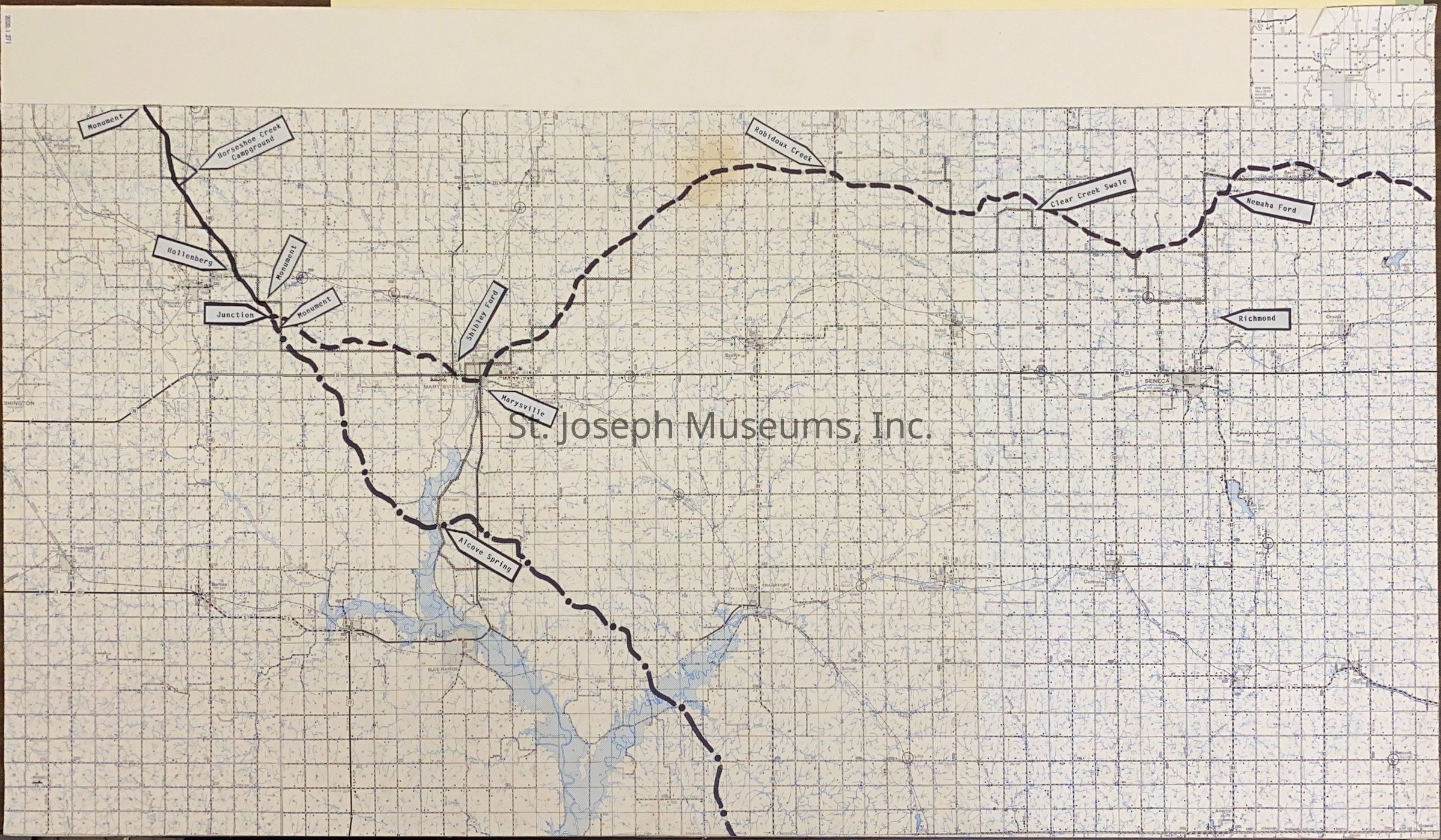
Pony Express Trail in Northeast Kansas Map Produced by St. Joseph Museum Staff, c. 1990s
Entry/Object ID
AM2020.1.271
Scope and Content
Pony Express Trail in Northeast Kansas Map Produced by St. Joseph Museum Staff, c. 1990s. Map of Northeast Kansas from about Nemaha on the north to Alcove Springs on south through to past Marysville, KS. Map of this section of Kansas pasted on foam backing and the Pony Express Stations and other historic sites along the Trail are marked.
Lexicon
Nomenclature 4.0
Nomenclature Secondary Object Term
Map
Nomenclature Primary Object Term
Cartograph
Nomenclature Sub-Class
Graphic Documents
Nomenclature Class
Documentary Objects
Nomenclature Category
Category 08: Communication Objects
Search Terms
Pony Express Trail, Pony Express Stations, St. Joe Road