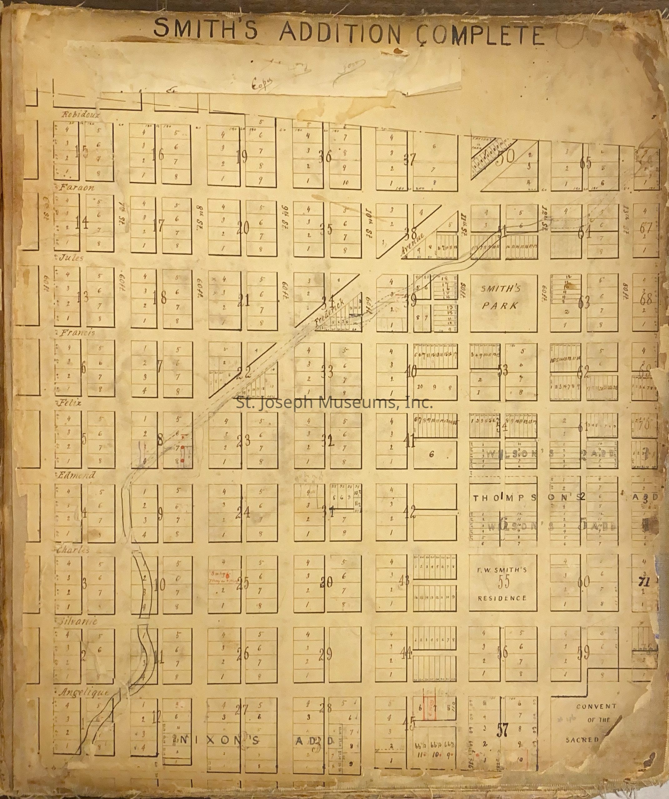
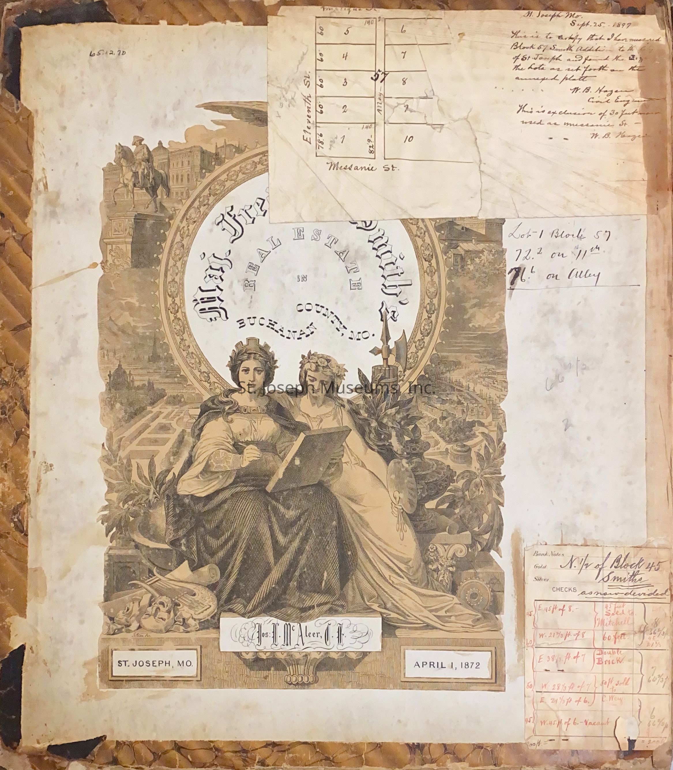
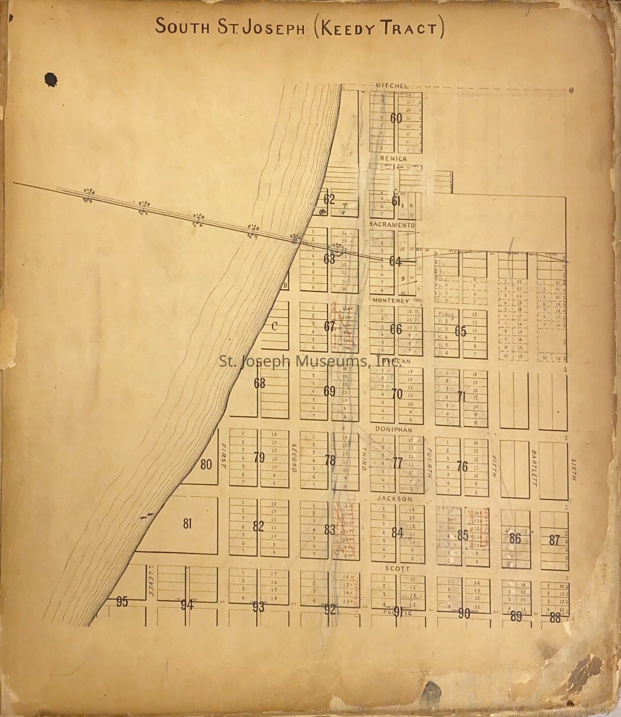
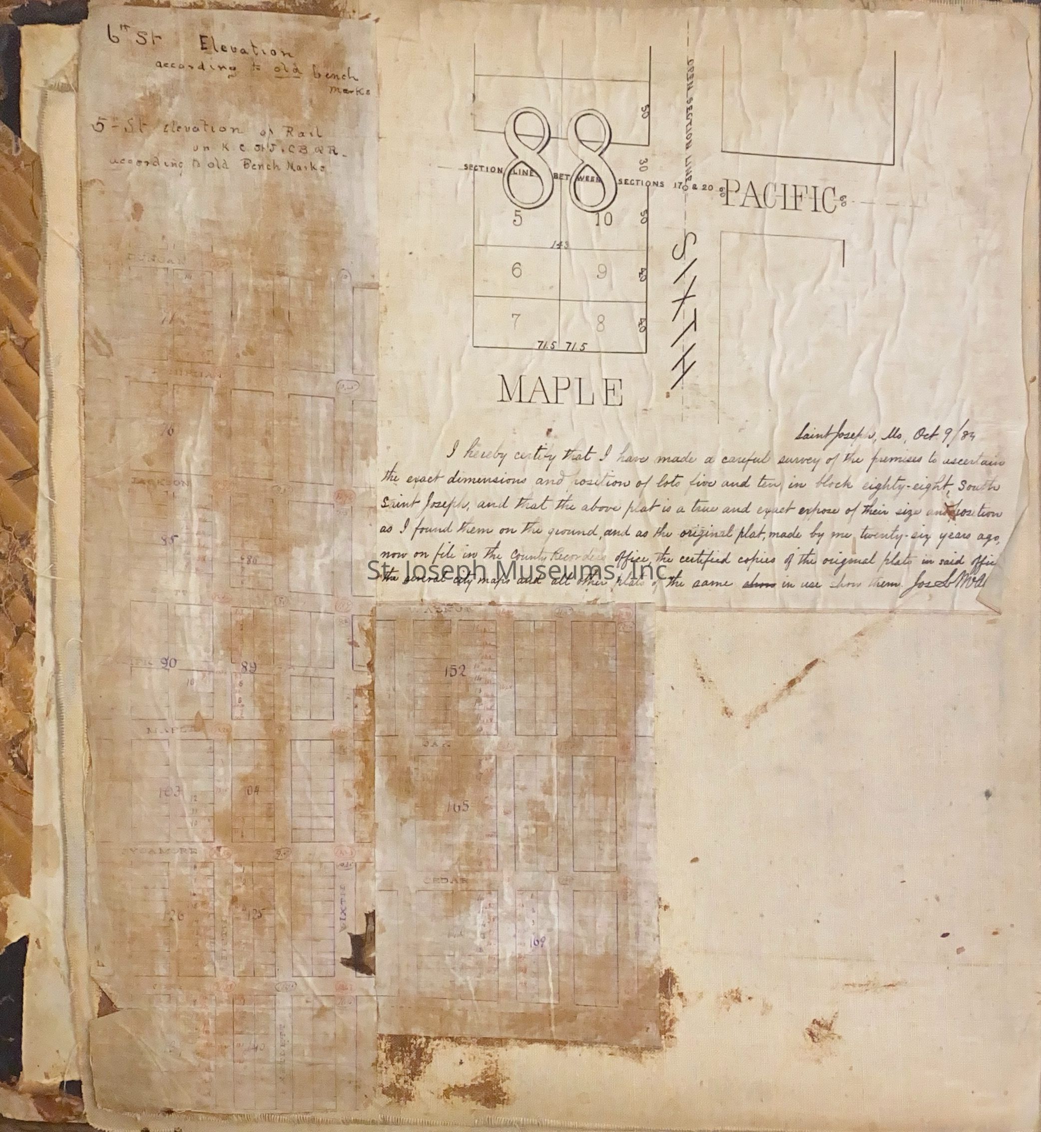
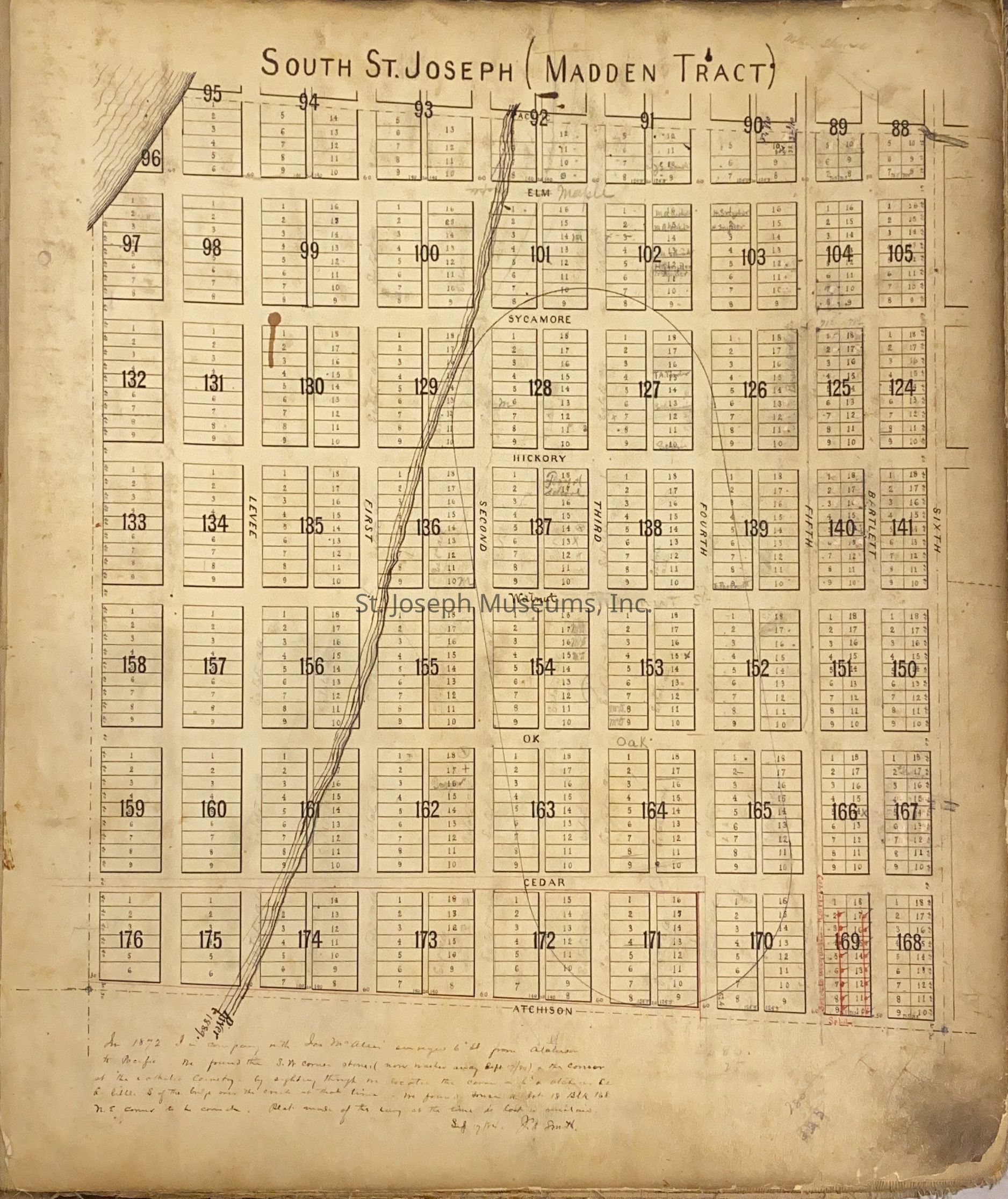
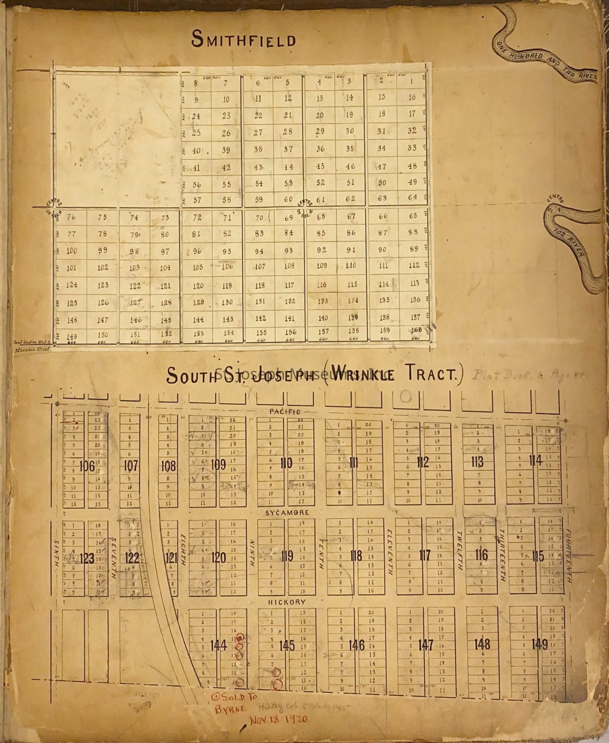
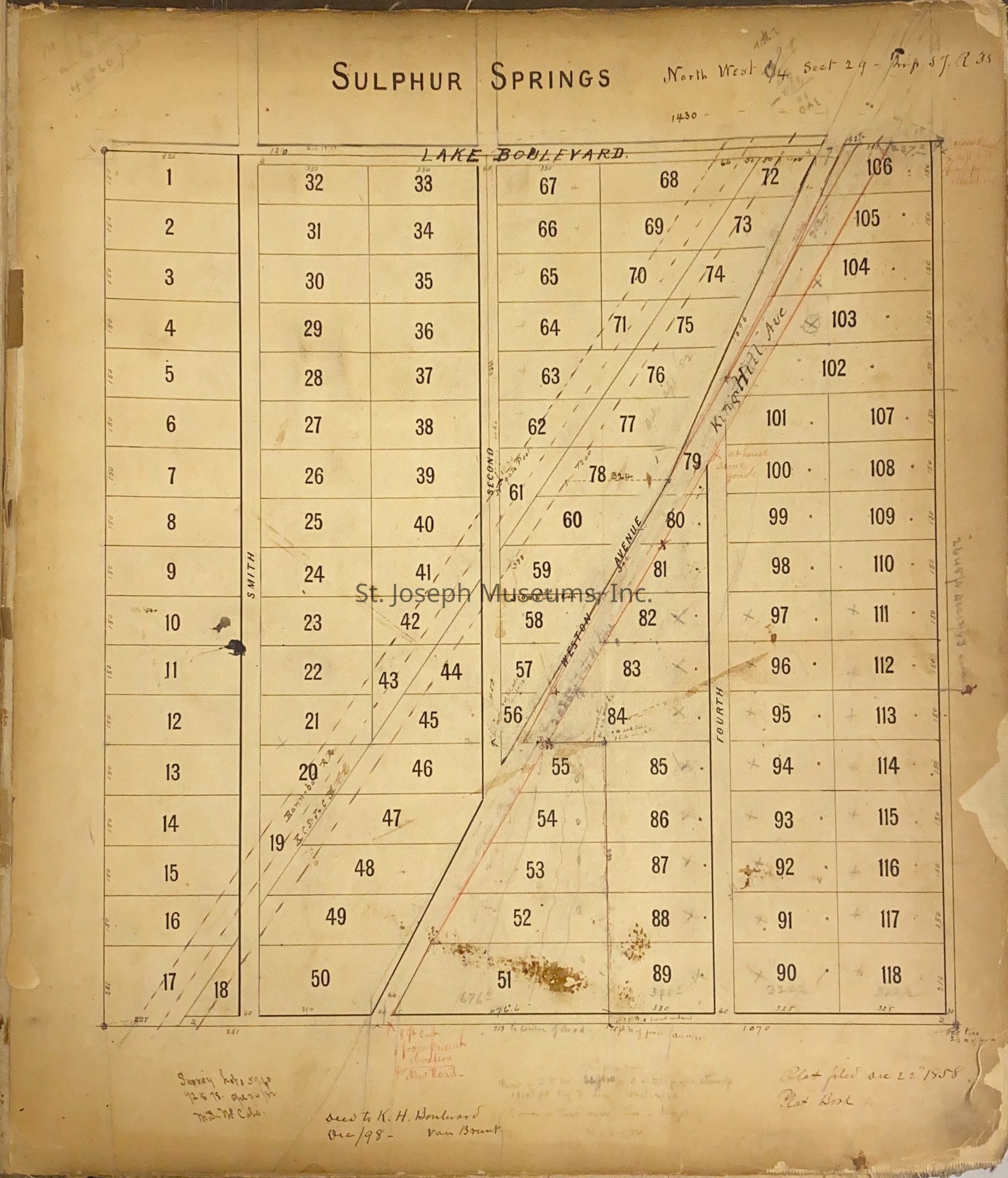
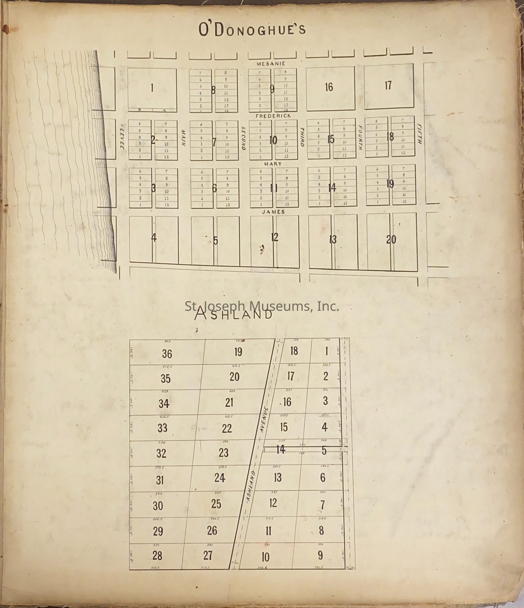
Smith Addition and South St. Joseph, Original Drawings by F.W. Smith, 1872
Entry/Object ID
AM1965.12.70
Scope and Content
Smith Addition and South St. Joseph, Original Drawings by F.W. Smith, 1872.
Set of original drawings by surbeyor Frederick W. Smith. He drew up the plat of the original town for Joseph Robidoux. This drawing is of Smith's addition and south St. Joseph.
Smith's Addition complete; South St. Joseph (Keedy Tract); South St. Joseph (Madden Tract); Smithfield - South St. Joseph (Wrinkle Tract); Bellevue; Sulphur Spring - Lake Boulevard; Map of King Hill; Smith Lewis Addition (Gasconade River) - Map of Laclede County, Mo.); O'Donoghue's - Ashland; East Side Addition/ blue map "East & West Line - Floyd" & Quigley Line 1868"/Map showing Missouri River.
Lexicon
Nomenclature 4.0
Nomenclature Secondary Object Term
Atlas
Nomenclature Primary Object Term
Cartograph
Nomenclature Sub-Class
Graphic Documents
Nomenclature Class
Documentary Objects
Nomenclature Category
Category 08: Communication Objects
LOC Thesaurus for Graphic Materials
Maps
Search Terms
St. Joseph, Missouri, St. Joseph - Plat drawings, Laclede County, Missouri, South St. Joseph Addition, Smiths Addition to St. Joseph