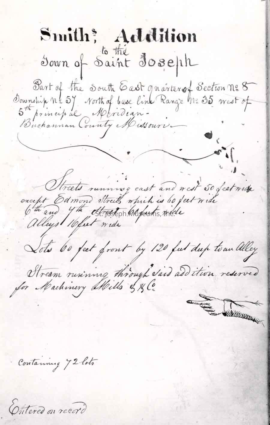
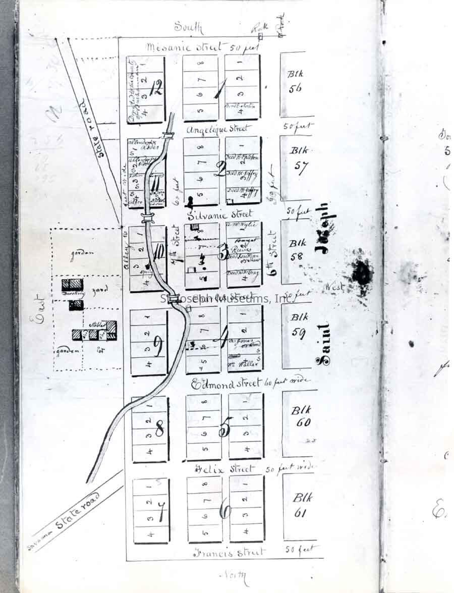
Smith's Addition Plat & Description Photos (2), 1846 b/w. Photos of two pages related to Smith's Addition to the Town of Saint. Joseph, by Frederick W. Smith. See Museum Graphic, Winter, 1966
94.1H.397 Description:
"Part of the South East quarter of Section No. 5, Township No. 57 north of the base line Range No. 35 west of 5th principal meridian. Buchanan County, Missouri
Streets running east and west 50 feet wide except Edmond Street which is 60 feet wide. 6th and 4th Street 60 feet wide. Alley 16 feet wide.
Lots 60 feet front by 120 feet deep to an alley.
Stream running through said addition reserved for Machinery Mills & Do..
Containing 72 lots."
.
Smith was St. Joseph business man and heavily involved in real estate. He is best known as the architect of St. Joseph's street system, having won the approval of Joseph Robidoux with his narrower streets over competitor Simeon Kemper who proposed wide boulevards.
Original digital scan located on History CD 05
Made/Created
Artist
NA
Date made
1846
Place
City
St. Joseph
State/Province
Missouri
Lexicon
Nomenclature 4.0
Nomenclature Secondary Object Term
Print, Photographic
Nomenclature Primary Object Term
Photograph
Nomenclature Sub-Class
Graphic Documents
Nomenclature Class
Documentary Objects
Nomenclature Category
Category 08: Communication Objects
Search Terms
Smith Family, Smith, Frederick W., Smith's Addition