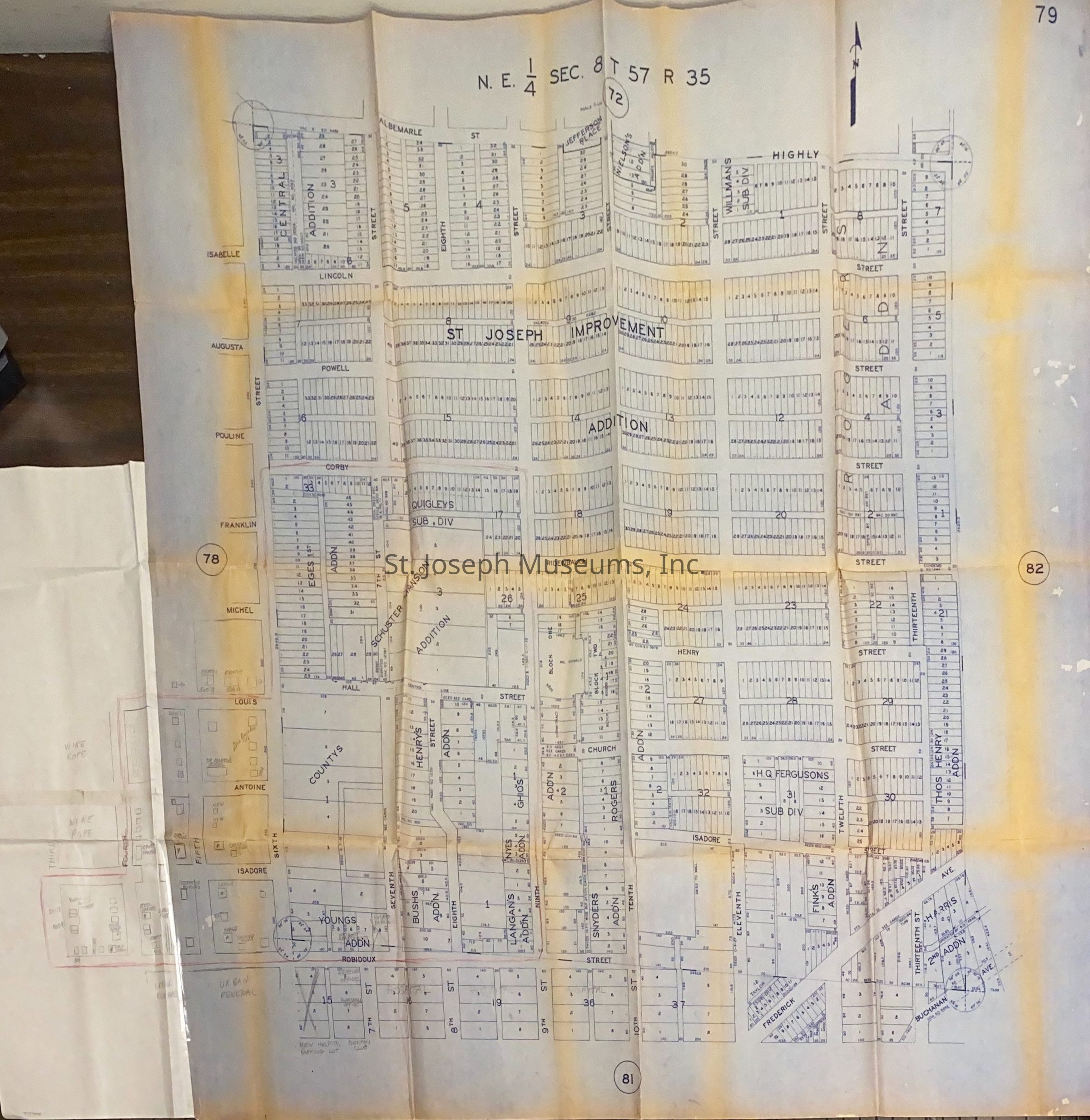
St. Joseph Additions Map, c. 1970. Map showing additions in St. Joseph mainly north of the downtown area from Abelmarle on north to Robidoux on south, and 13th Street on east to 6th Street on the west. Attached is a hand-drawn section showing the Wire Rope Complex. undated but "Urban Renewal" handwritten in some places.
Lexicon
Nomenclature 4.0
Nomenclature Secondary Object Term
Map
Nomenclature Primary Object Term
Cartograph
Nomenclature Sub-Class
Graphic Documents
Nomenclature Class
Documentary Objects
Nomenclature Category
Category 08: Communication Objects
LOC Thesaurus for Graphic Materials
Maps, Urban renewal
Search Terms
St. Joseph Street Map, St. Joseph Additions, Wire Rope Corporation of America