HUB
Collections
Classifications
About
App
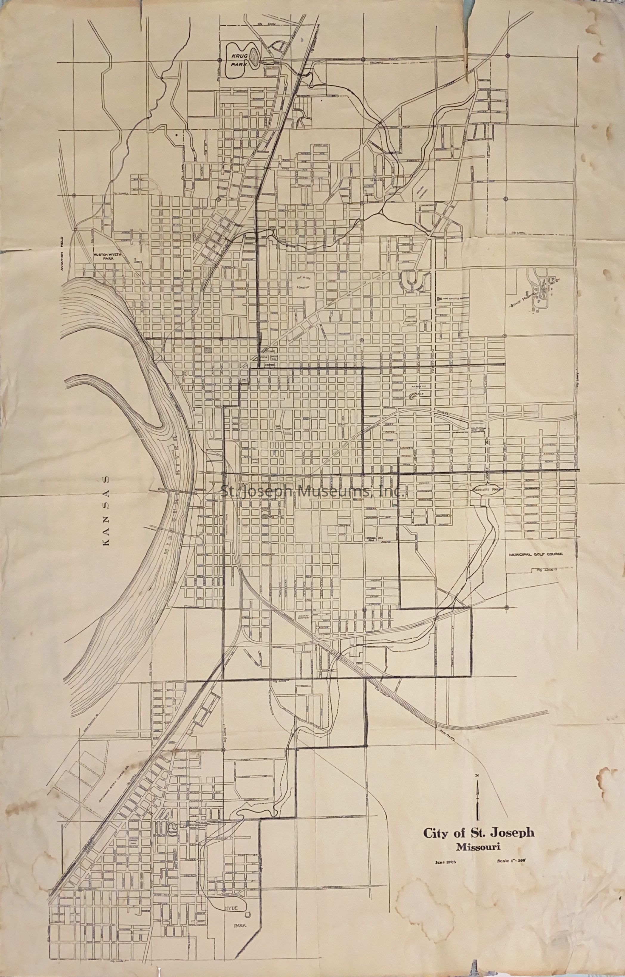
St. Joseph City Street Map, 1925
Archive
-
St. Joseph Museums
Name/Title
St. Joseph City Street Map, 1925
Entry/Object ID
AM2014.26.820
Scope and Content
St. Joseph City Street Map, June, 1928. City Limits are Karnes Road to north, 36th Street to East, and Joseph Street to south. The airport is on the east side of the Missouri River.
Collection
Marshall & Melanie White
Lexicon
Nomenclature 4.0
Nomenclature Secondary Object Term
Map
Nomenclature Primary Object Term
Cartograph
Nomenclature Sub-Class
Graphic Documents
Nomenclature Class
Documentary Objects
Nomenclature Category
Category 08: Communication Objects
Search Terms
St. Joseph Street Map, 1925
Condition
Overall Condition
Poor
Maintenance
Maintenance History
Date
Sep 29, 2014