Name/Title
St. Joseph City Street Map, 1930Entry/Object ID
AM2014.26.631Scope and Content
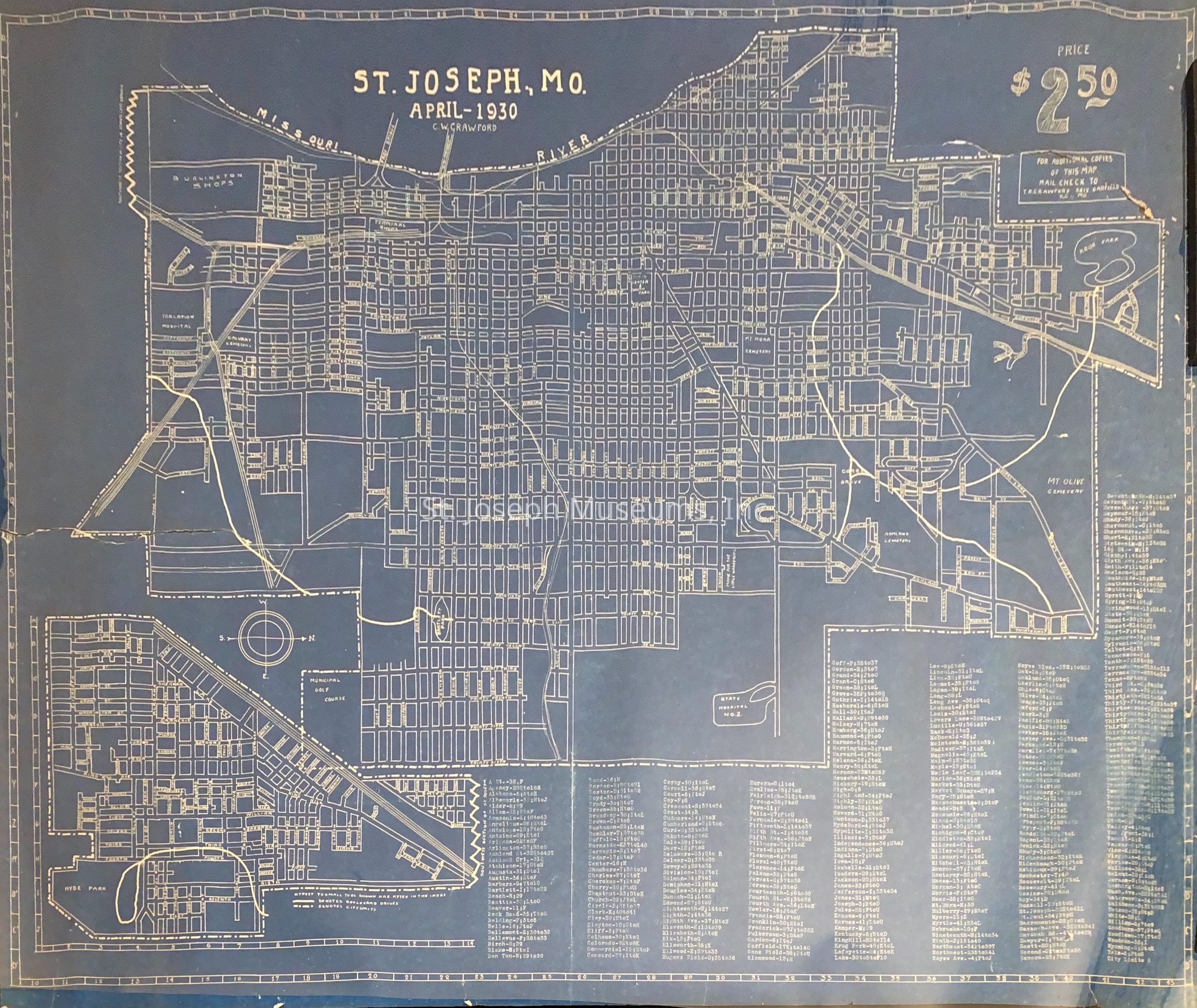
St. Joseph City Street Map, 1930. Produced by C.W. Crawford. Blueprint style map of city streets. Special notation shows sites of Isolation Hospital, Calvary Cemetery, Burlington Shops, Terminal Shops, Krug Park, Corby Grove, Municipal Golf Course, Mt Olivet Cemetery, Mt. Mora Cemetery, Hyde Park, State Hospital No. 2.
City limits shown on west as Missouri River, north as Karnes Road and Krug Park, east as 36th Street and 6th & Hyde Park in south end, to south Florence Road and Elizabeth Street.
Map Cost= $2.50
Could be reordered from T.R. Crawford, 5612 Garfield, Kansas City, MO.Collection
Marshall & Melanie WhiteLexicon
Nomenclature 4.0
Nomenclature Secondary Object Term
MapNomenclature Primary Object Term
CartographNomenclature Sub-Class
Graphic DocumentsNomenclature Class
Documentary ObjectsNomenclature Category
Category 08: Communication ObjectsSearch Terms
St. Joseph History, St. Joseph Map, Street Map