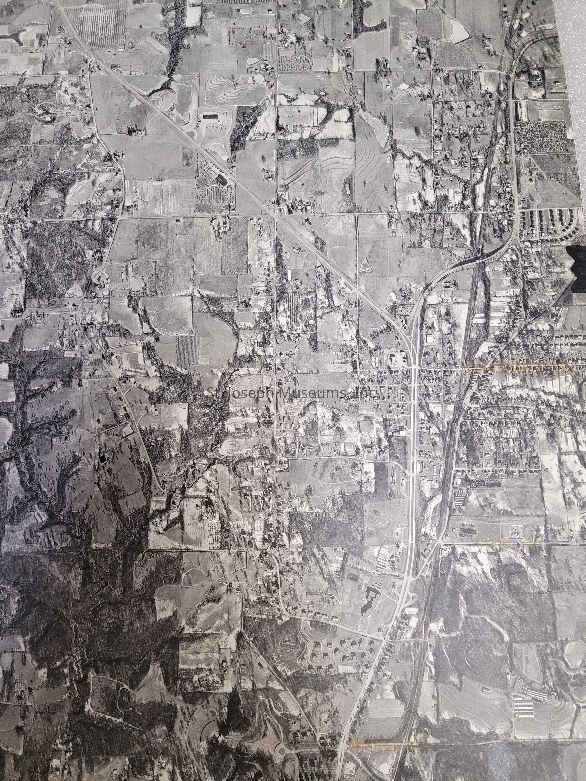
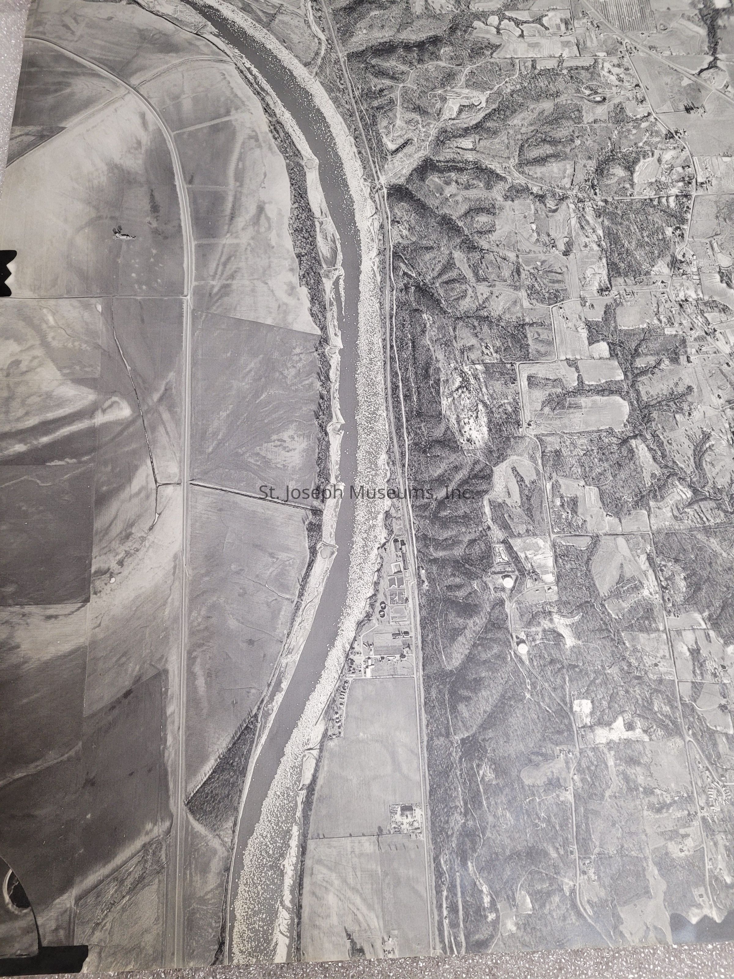
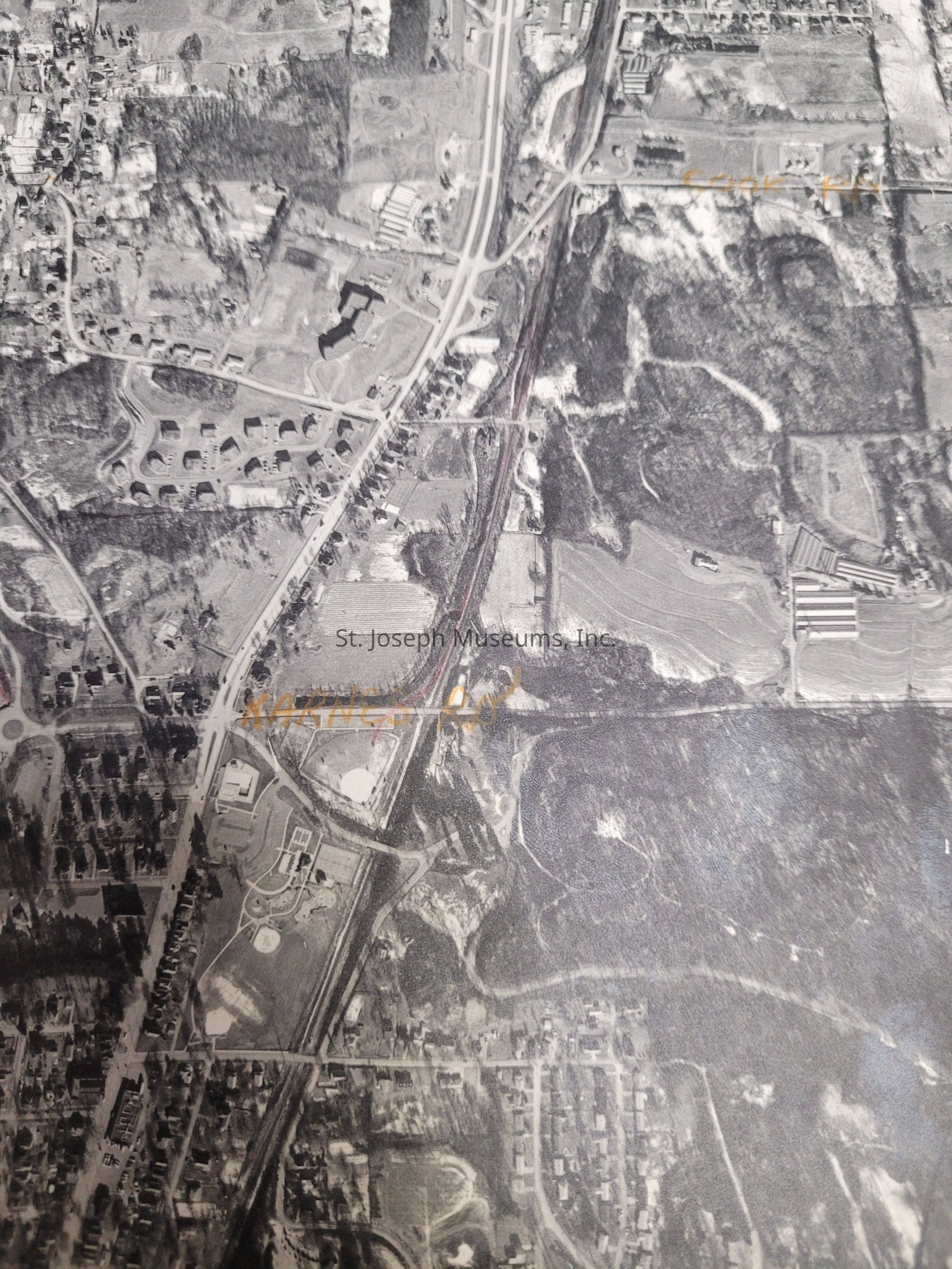
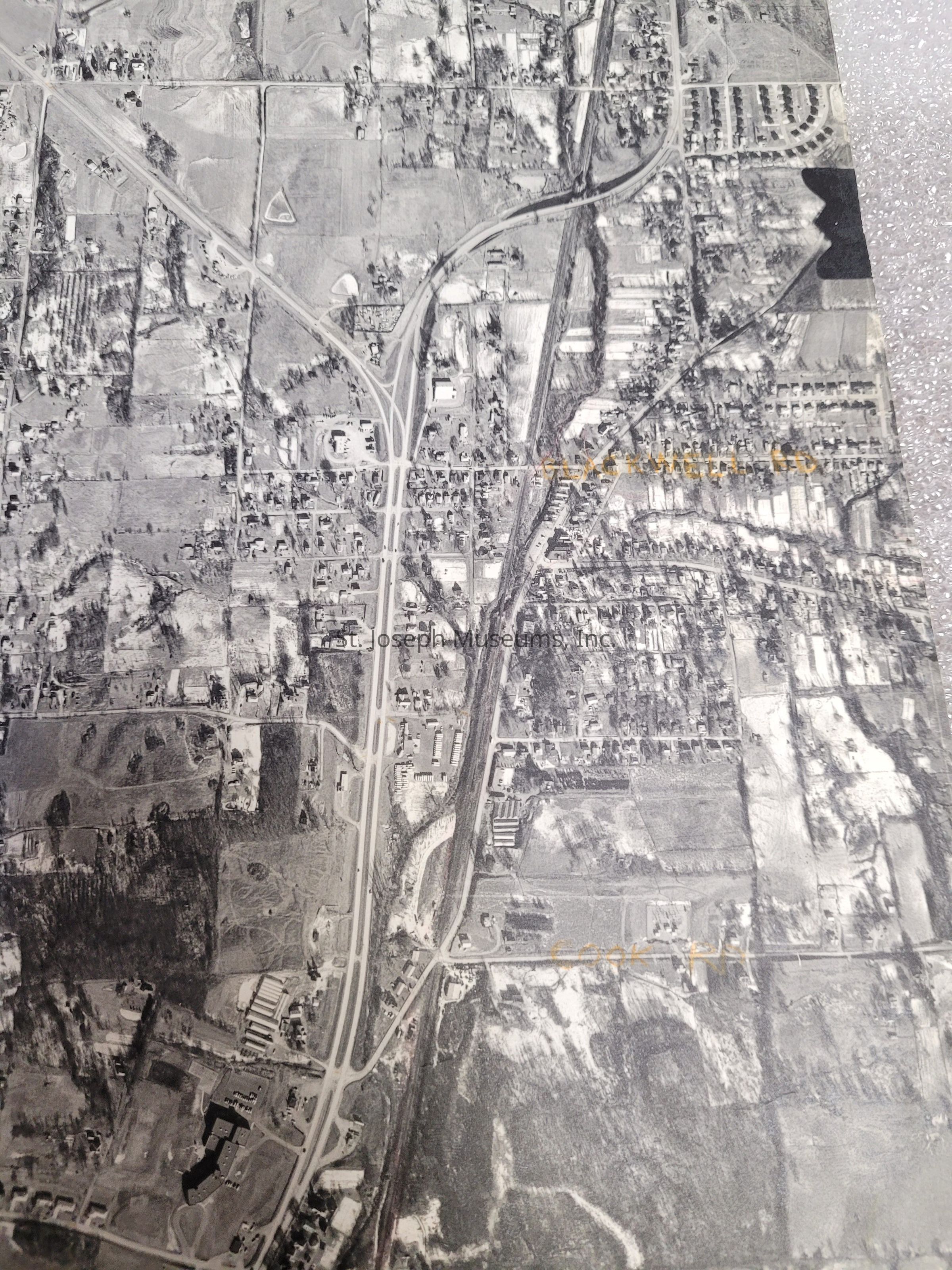
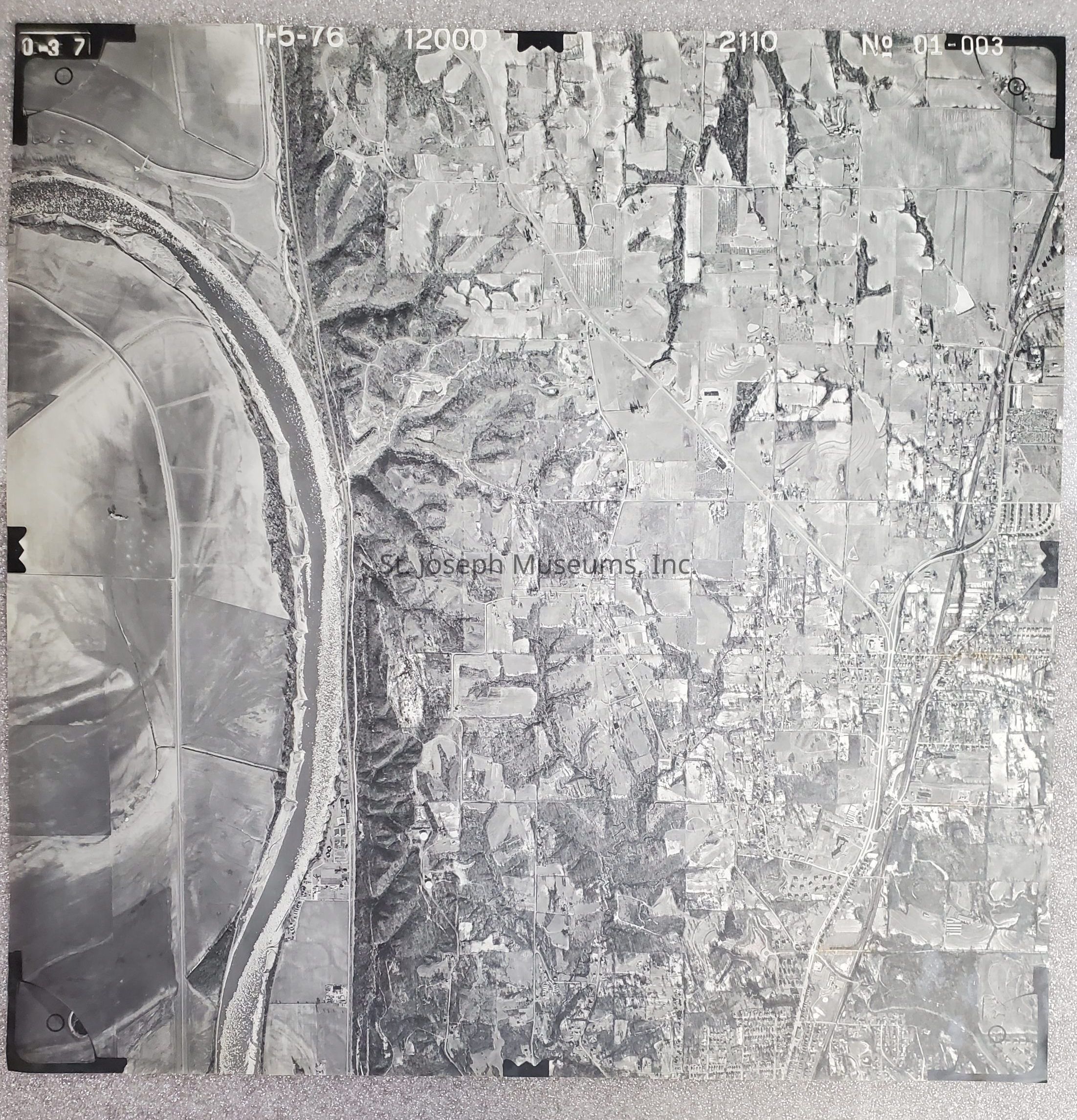
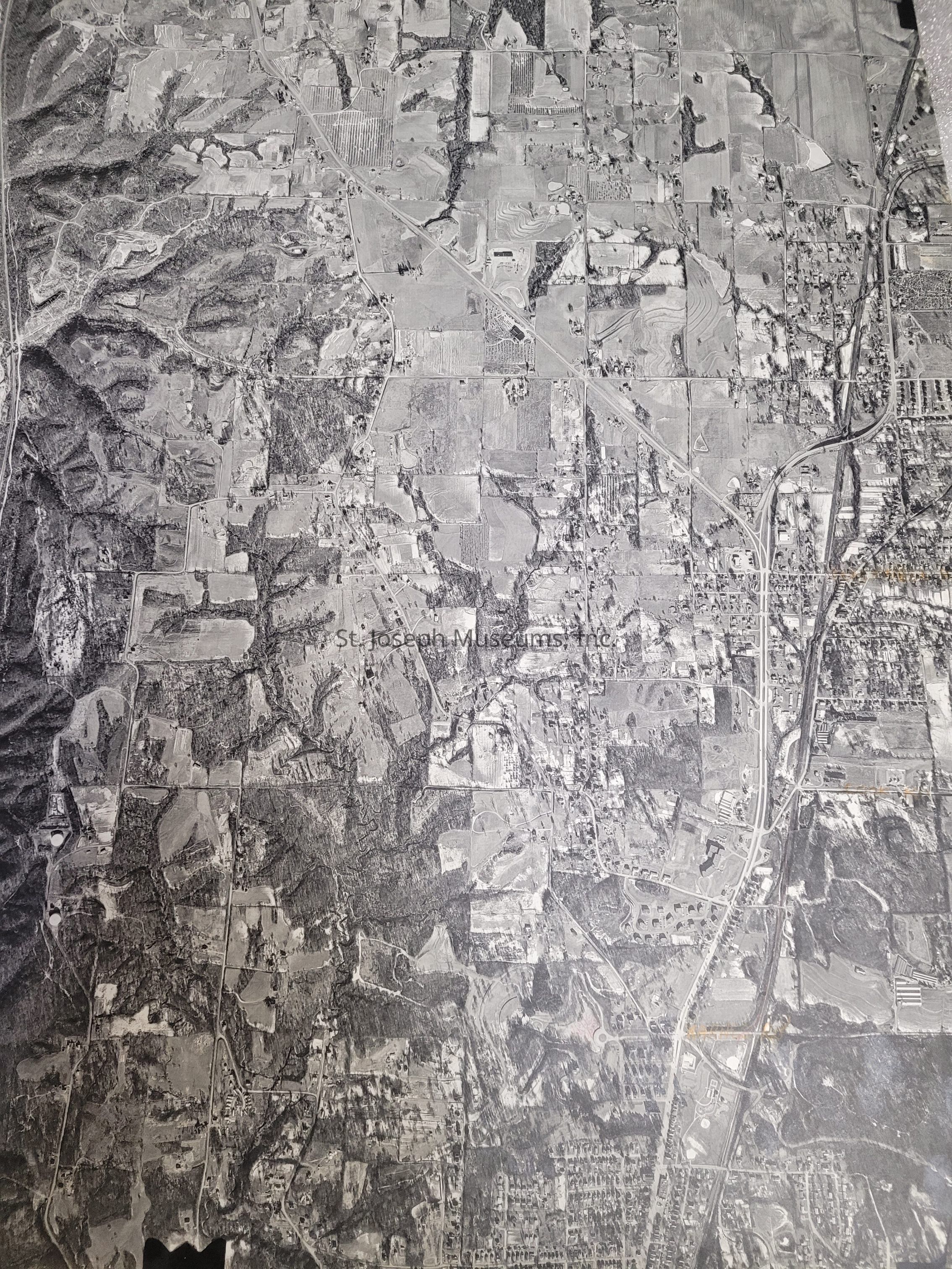
St. Joseph Map - Aerial view - North St. Joseph - Karnes, Cook, County line on right - View to West to Mo. River. 1976

Name/Title

St. Joseph Map - Aerial view - North St. Joseph - Karnes, Cook, County line on right - View to West to Mo. River. 1976

Entry/Object ID

AM2005.1.166

Scope and Content

St. Joseph, MO. Map - Aerial view of North St. Joseph - Karnes, Cook, County line on right - View to West to Missouri River - Includes Southern Andrew County - 01-003, 01/05/1976.
Lexicon

Nomenclature 4.0

Nomenclature Secondary Object Term

Map

Nomenclature Primary Object Term

Cartograph

Nomenclature Sub-Class

Graphic Documents

Nomenclature Class

Documentary Objects

Nomenclature Category

Category 08: Communication Objects

Search Terms

St. Joseph, MO., Missouri River, Andrew County

Condition

Overall Condition

Good