Name/Title
St. Joseph Maps, Digital Format, 1892Entry/Object ID
AM9999.999.3841Scope and Content
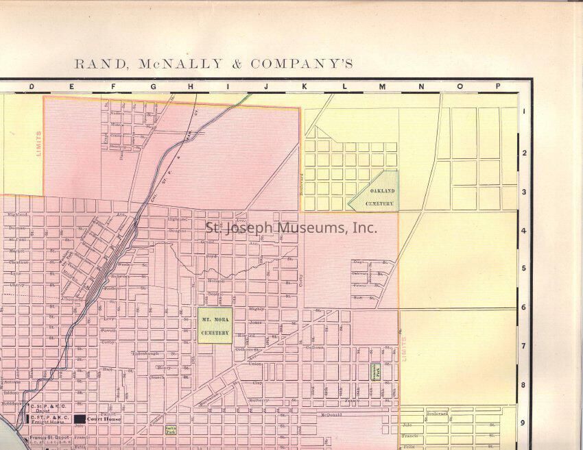
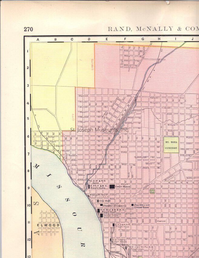
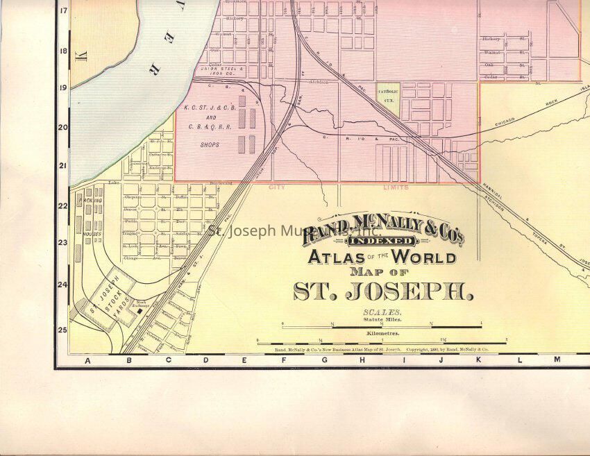
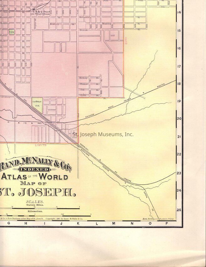
St. Joseph Maps, Digital Format, 1892. CD of 3 digitized maps, scanned in sections.
Rand McNally Company's New Business Atlas Map of St. Joseph, 1892, in four sections.
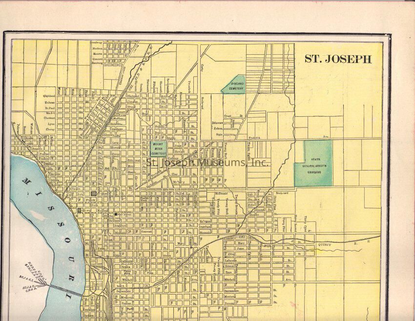
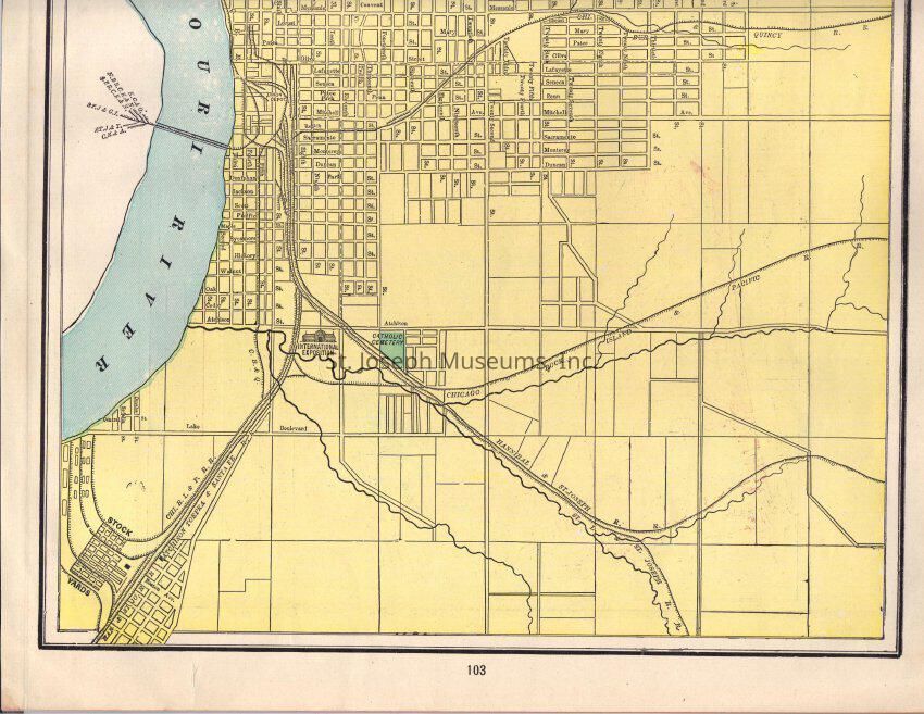
St. Joseph Street Map, unidentified as to time and source, in two sections.
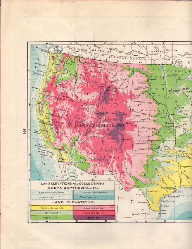
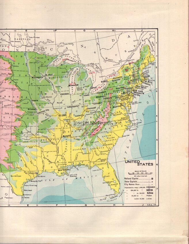
United States Land Elevations & Ocean Depths, shown in color, unidentified as to time and source, in two sections.
Also on this CD:
Harpers Weekly, May 28, 1868. Fur Traders on the Missouri Attacked by Indians, Sketch by W. M. Cary. (Scanned in 4 sections).
Frank Leslie's Illustrated Newspaper, Oct. 25, 1858, "The Overland Route to California: with three illustrations, "The Overland Mail--Start for Eastern side." ; "The Overland Mail--Passing a Biouvac of Emigrants in Western Arkansas" and "The Overland Mail--Crossing a Stream at Night."Lexicon
Nomenclature 4.0
Nomenclature Secondary Object Term
Disc, CompactNomenclature Primary Object Term
Disk, OpticalNomenclature Sub-Class
Data Processing MediaNomenclature Class
Data Processing T&ENomenclature Category
Category 06: Tools & Equipment for CommunicationLOC Thesaurus for Graphic Materials
Maps, Fur tradeSearch Terms
Maps of St. Joseph, Overland Mail, Stagecoach