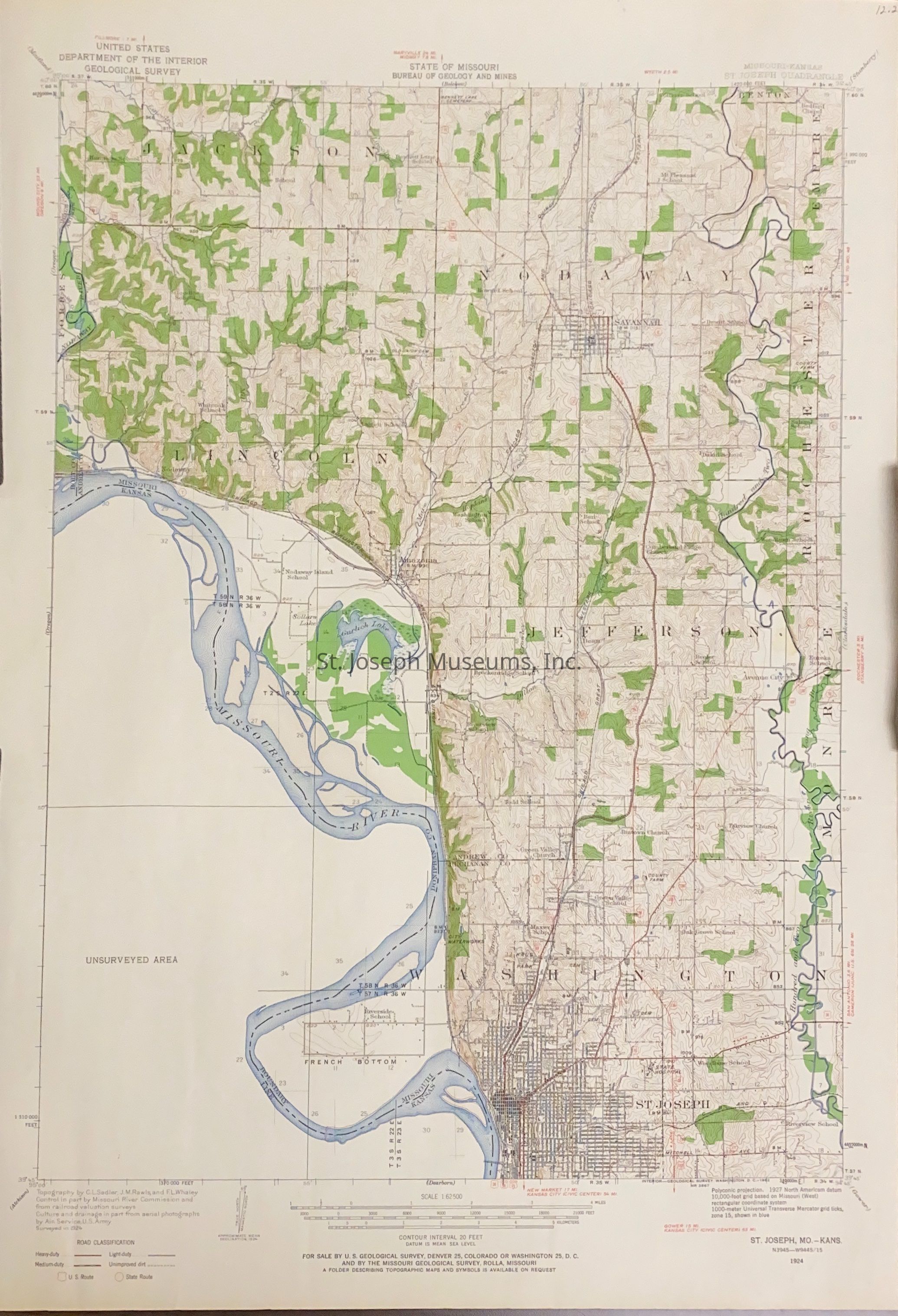
St. Joseph Quadrangle, Missouri-Kansas, Map, 1924. Topographical map of portions of Andrew and Buchanan Counties along the Missouri River from the Holt/Andrew line south to St. Joseph to near the Mo/KS railroad bridge.
Lexicon
Nomenclature 4.0
Nomenclature Secondary Object Term
Map
Nomenclature Primary Object Term
Cartograph
Nomenclature Sub-Class
Graphic Documents
Nomenclature Class
Documentary Objects
Nomenclature Category
Category 08: Communication Objects
LOC Thesaurus for Graphic Materials
Archaeology, Maps
Search Terms
St, Joseph Quadrangle, Fisher, Michael, Andrew County, Missouri, Buchanan County, Missouri, French Bottoms, St. Joseph, Missouri, Missouri River