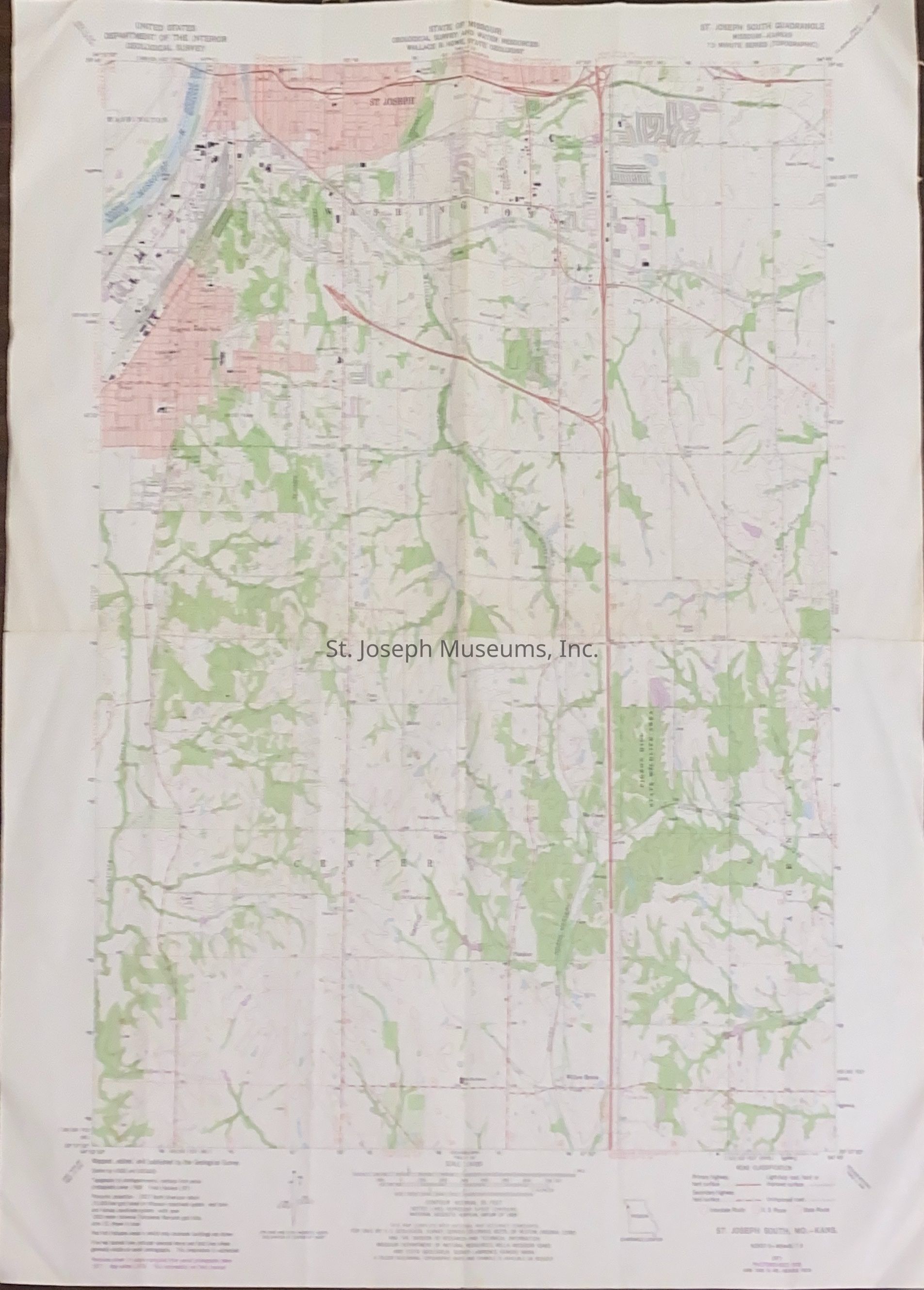
St. Joseph South QuadrangleTopographical Map, 1978
Entry/Object ID
AM2018.29.4
Scope and Content
St. Joseph South QuadrangleTopographical Map, 1978. Missouri-Kansas, 7.5 minute series. State of Missouri, Geological Survey & Water Resources, Wallace B. Howe, State Geologist. 1971, Photo revised 1978. (Revised areas shown in purple compiled from aerial photographs taken in 1977.)