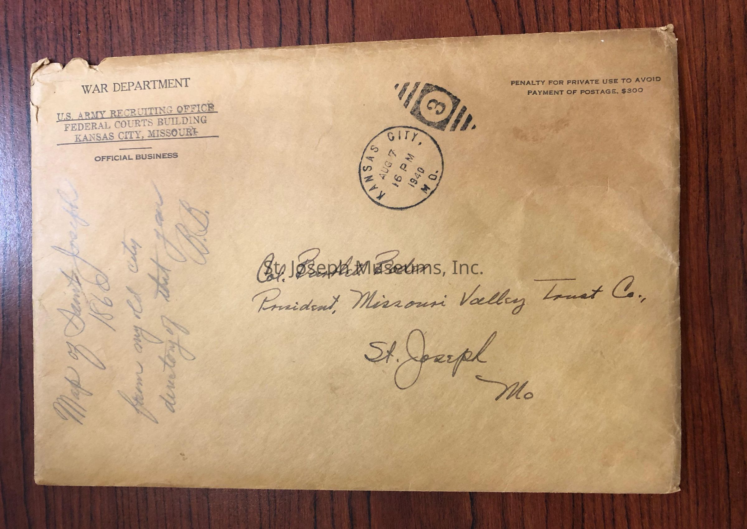
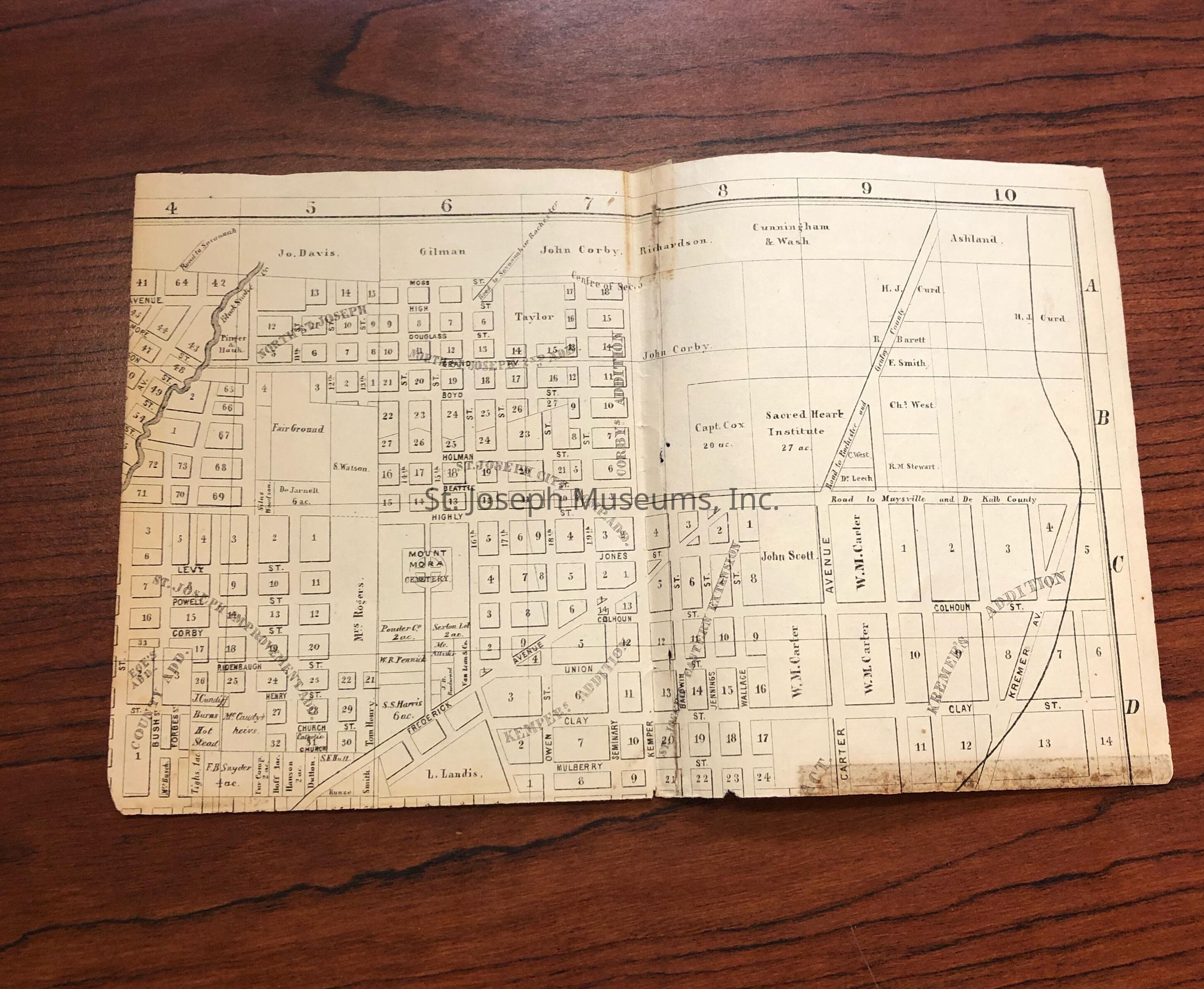
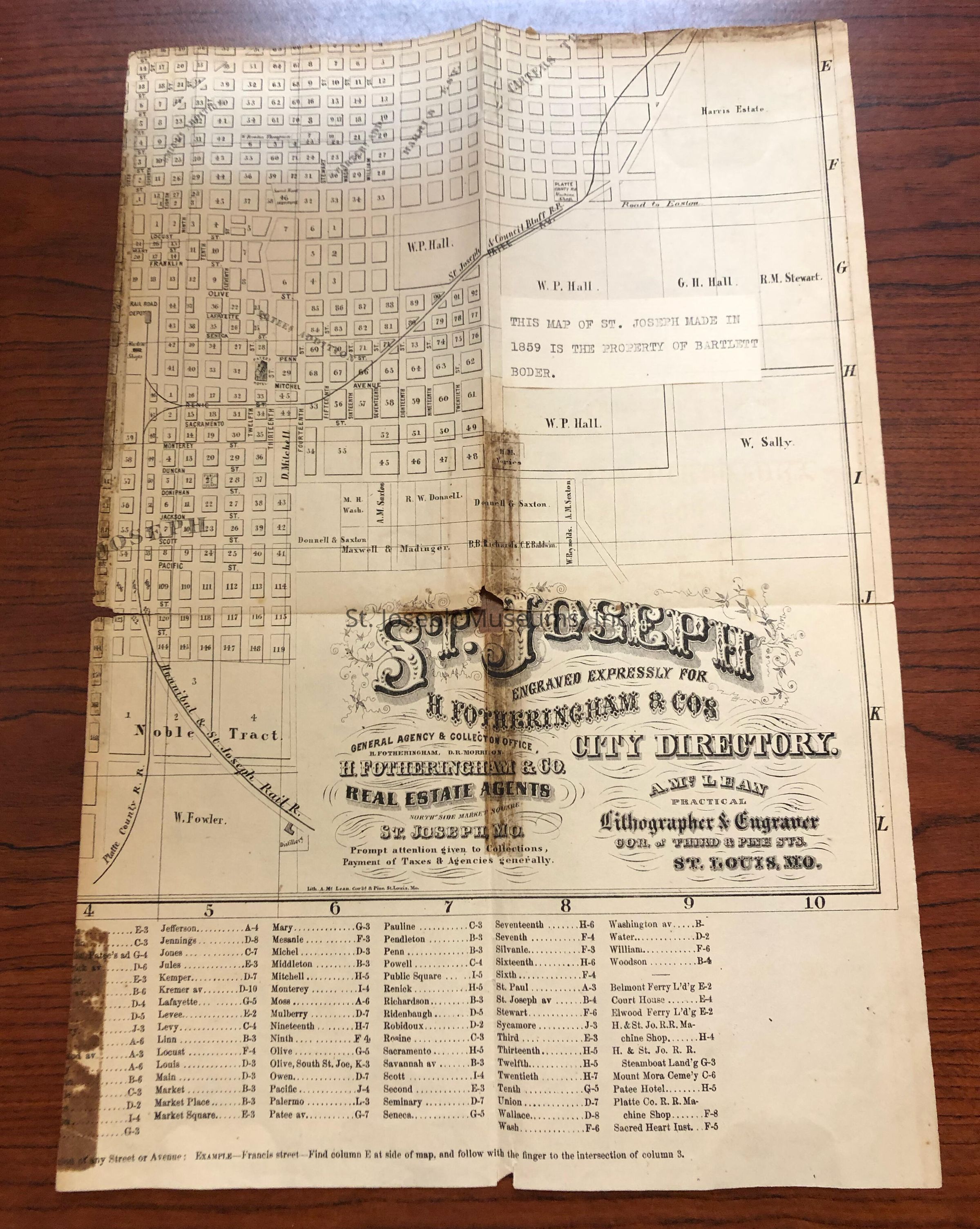
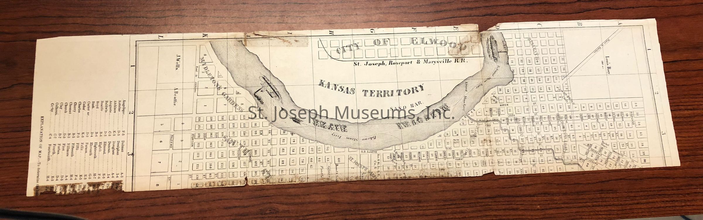
St. Joseph Street Map & City Directory, Engraved for H. Fortheringham & Co. Real Estate Agents, 1859
Entry/Object ID
AM2017.25.49
Scope and Content
St. Joseph Street Map & City Directory, Engraved for H. Fortheringham & Co. Real Estate Agents, 1859. Street map with parcel # and owner's names on tracts of land they own. Kansas Territory on west, east boundary is about today's 28th St. Southern boundary about Atchison St. Northern boundary Highland Ave. Many street names that no longer survive. Poor condition
Tag affixed to map: "This map of St. Joseph Made in 1859 is the property of Bartlett Boder."
Lexicon
Nomenclature 4.0
Nomenclature Secondary Object Term
Map
Nomenclature Primary Object Term
Cartograph
Nomenclature Sub-Class
Graphic Documents
Nomenclature Class
Documentary Objects
Nomenclature Category
Category 08: Communication Objects
LOC Thesaurus for Graphic Materials
Maps
Search Terms
St. Joseph Map, 1859, Fortheringham & Co. Real Estate Agents