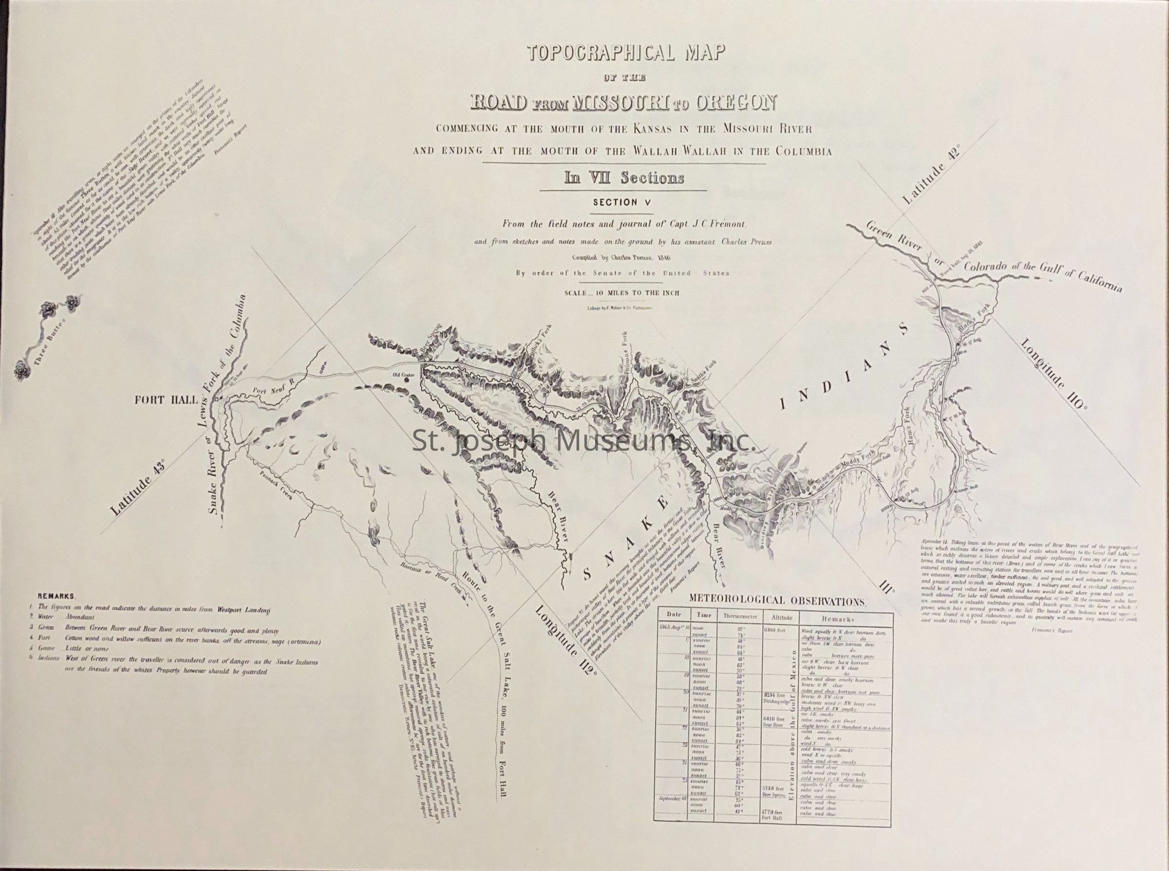
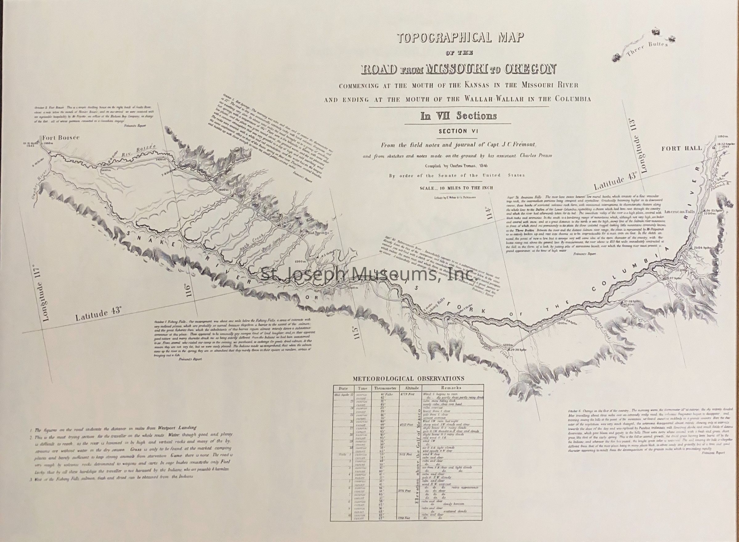
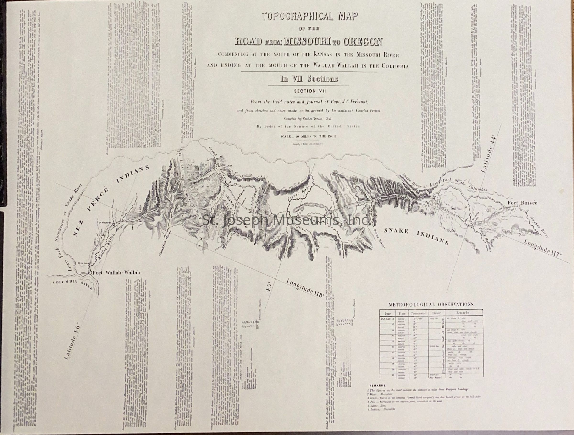
Topographical Maps: Road from Missouri to Oregon, 1846
Entry/Object ID
AM1993.1.73AG
Scope and Content
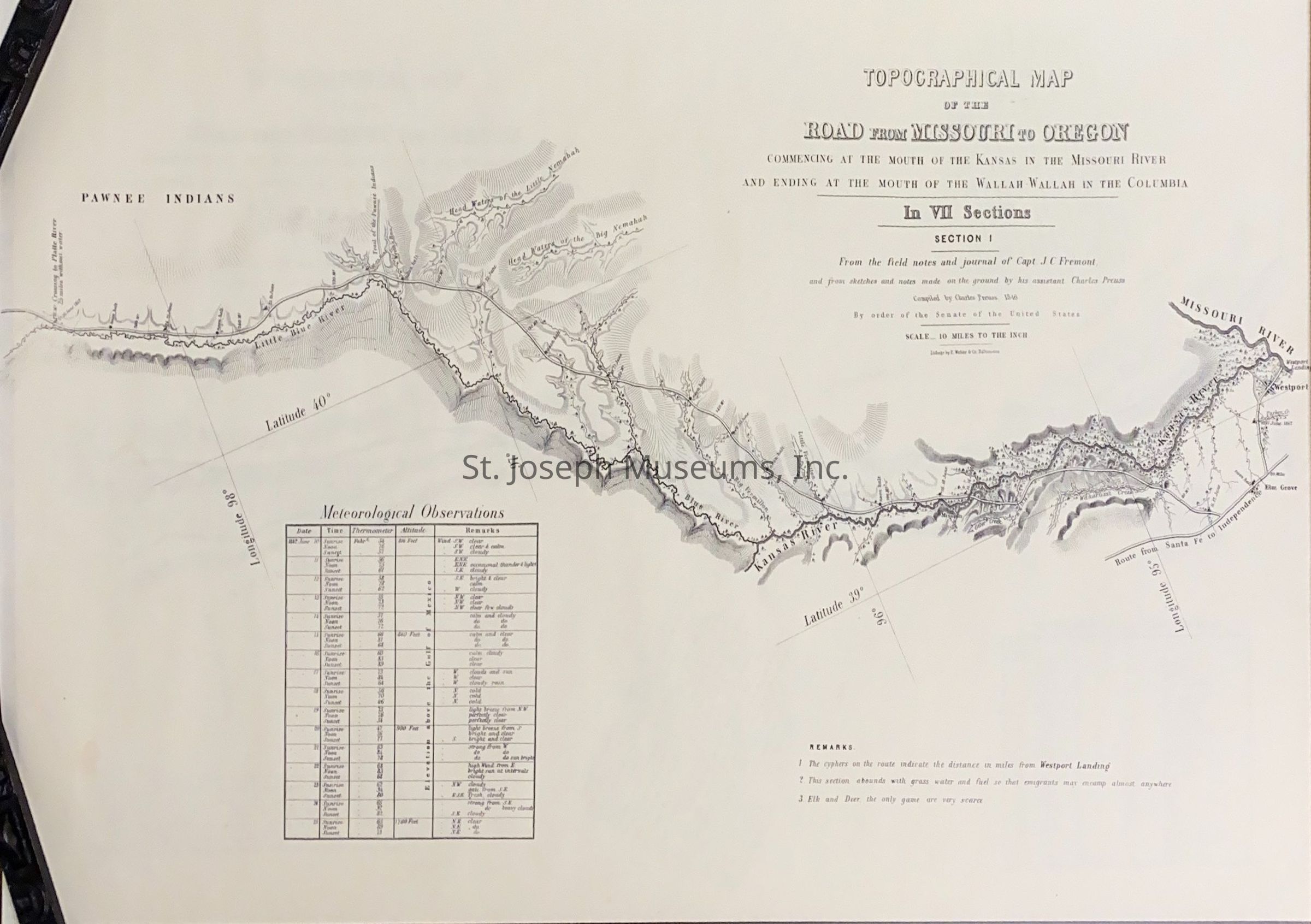
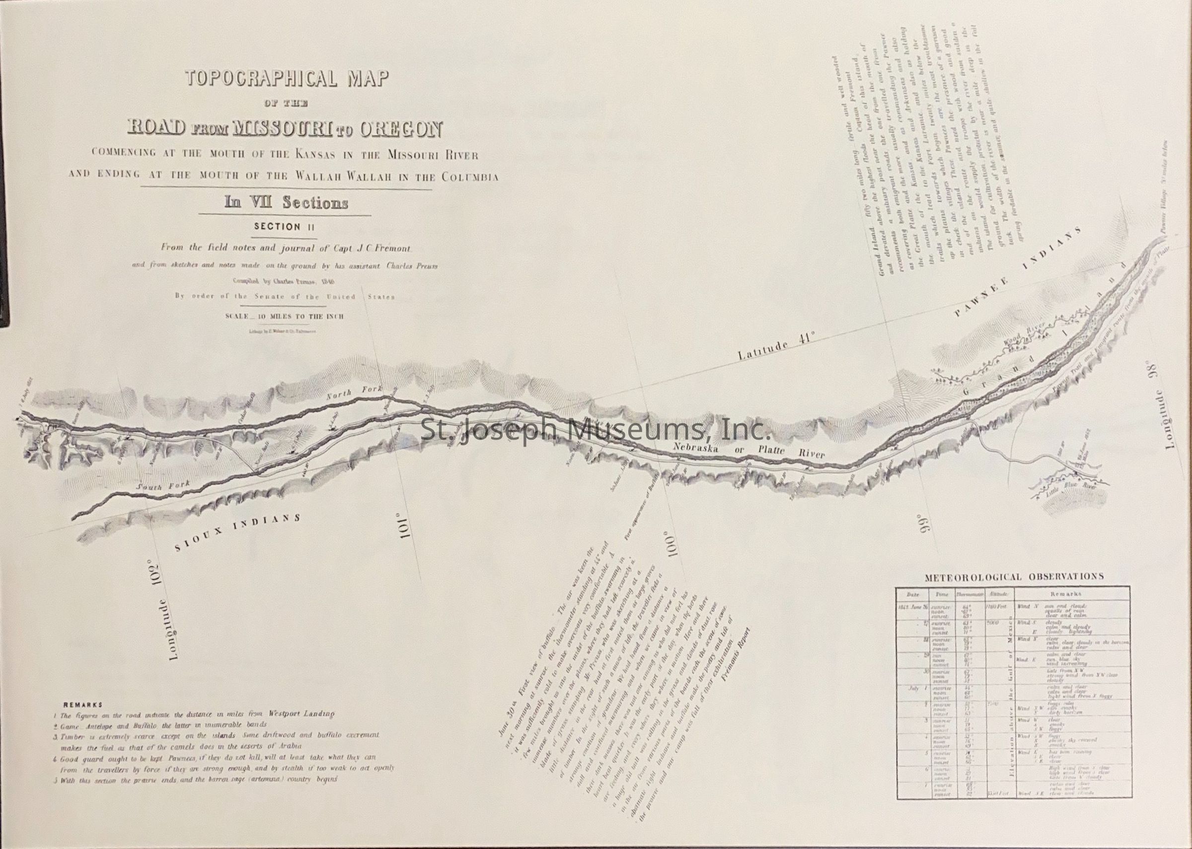
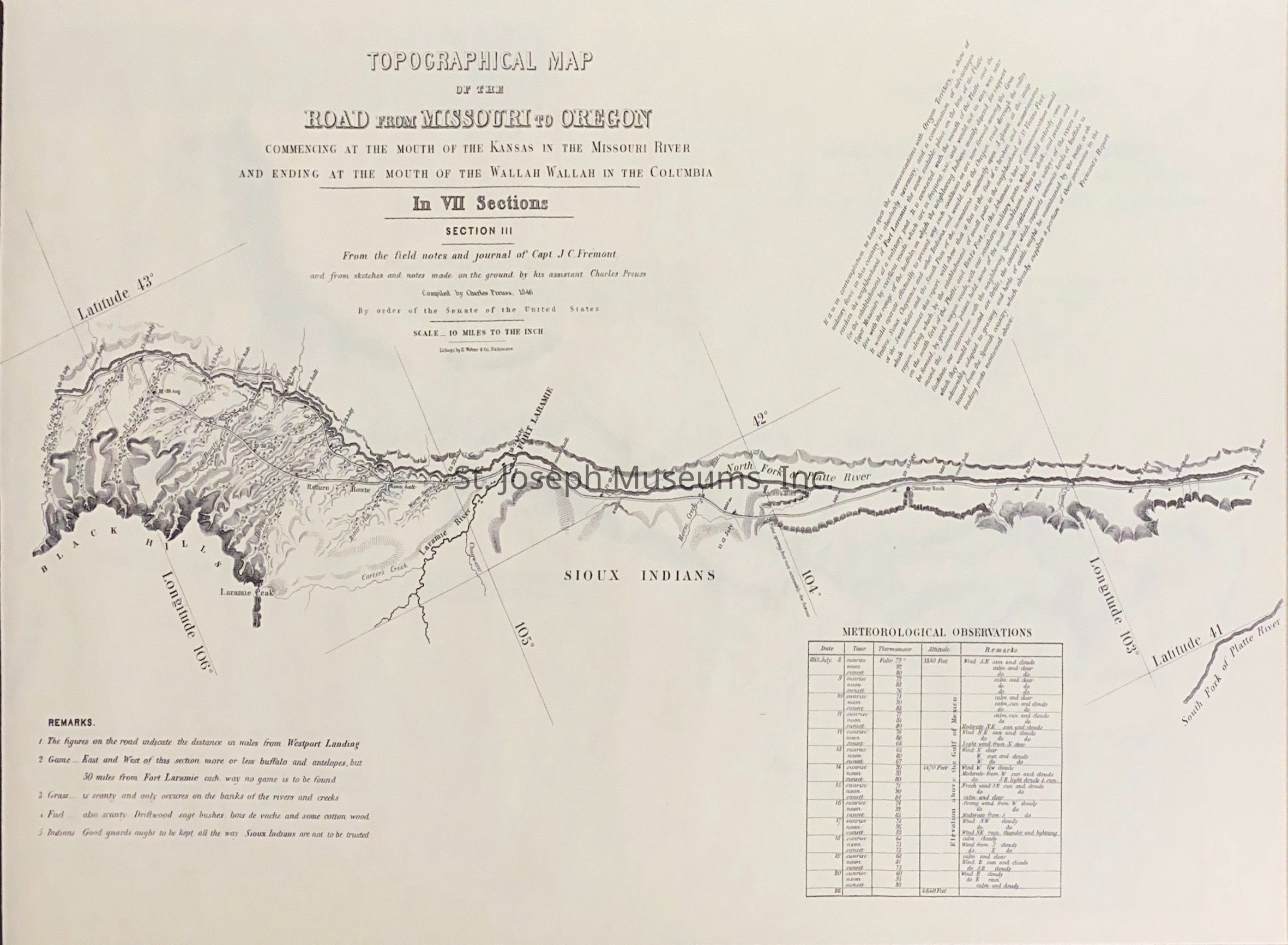
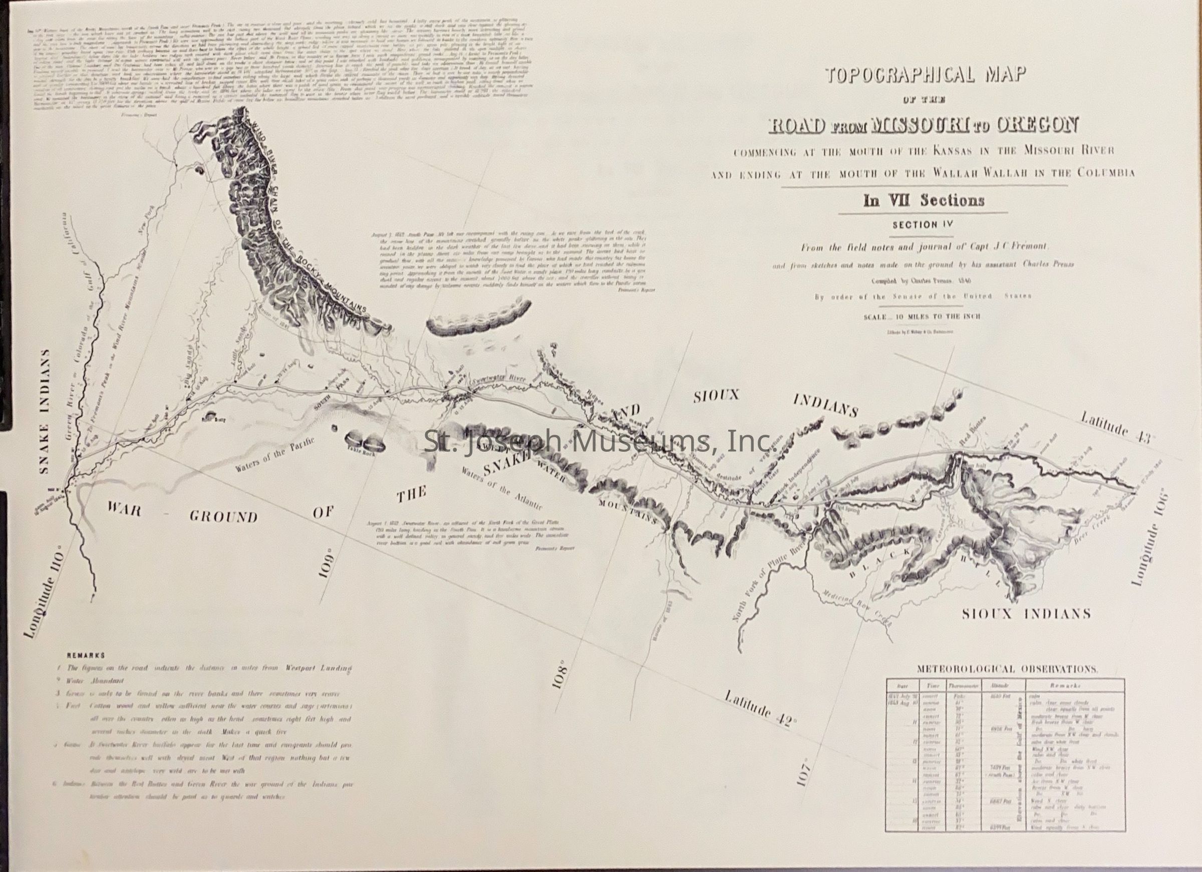
Topographical Maps: Road from Missouri to Oregon, 1846 consist of 7 maps as follows:
A. I "Commencing at the Mouth of the Kansas." Longitude 96 to 98
B. II Longitude 102 to 98
C. III Longitude 106 to 103
D. IV Longitude 110 to 106
E. V Longitude 112 to 110
F. VI Longitude 117 to 113
G VII Longitude 118 to 117
Contains notes by Capt. J. C. Fremont
Lexicon
Nomenclature 4.0
Nomenclature Secondary Object Term
Map
Nomenclature Primary Object Term
Cartograph
Nomenclature Sub-Class
Graphic Documents
Nomenclature Class
Documentary Objects
Nomenclature Category
Category 08: Communication Objects
LOC Thesaurus for Graphic Materials
Maps
Search Terms
Topographical Maps, Missouri to Oregon, Western Exploration