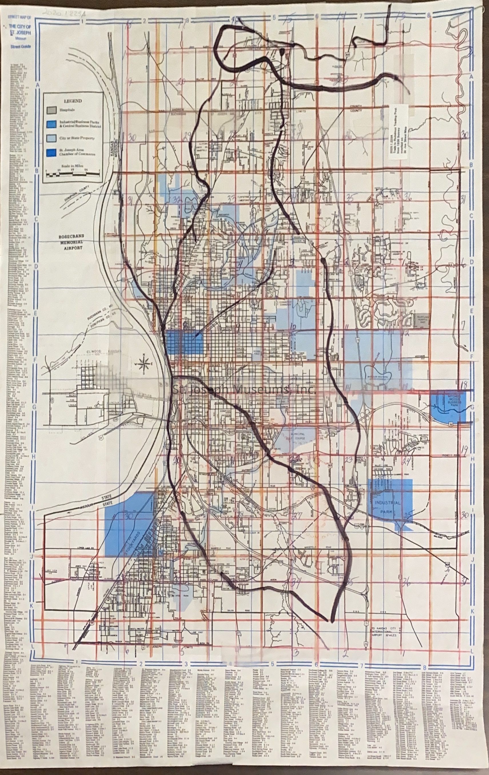
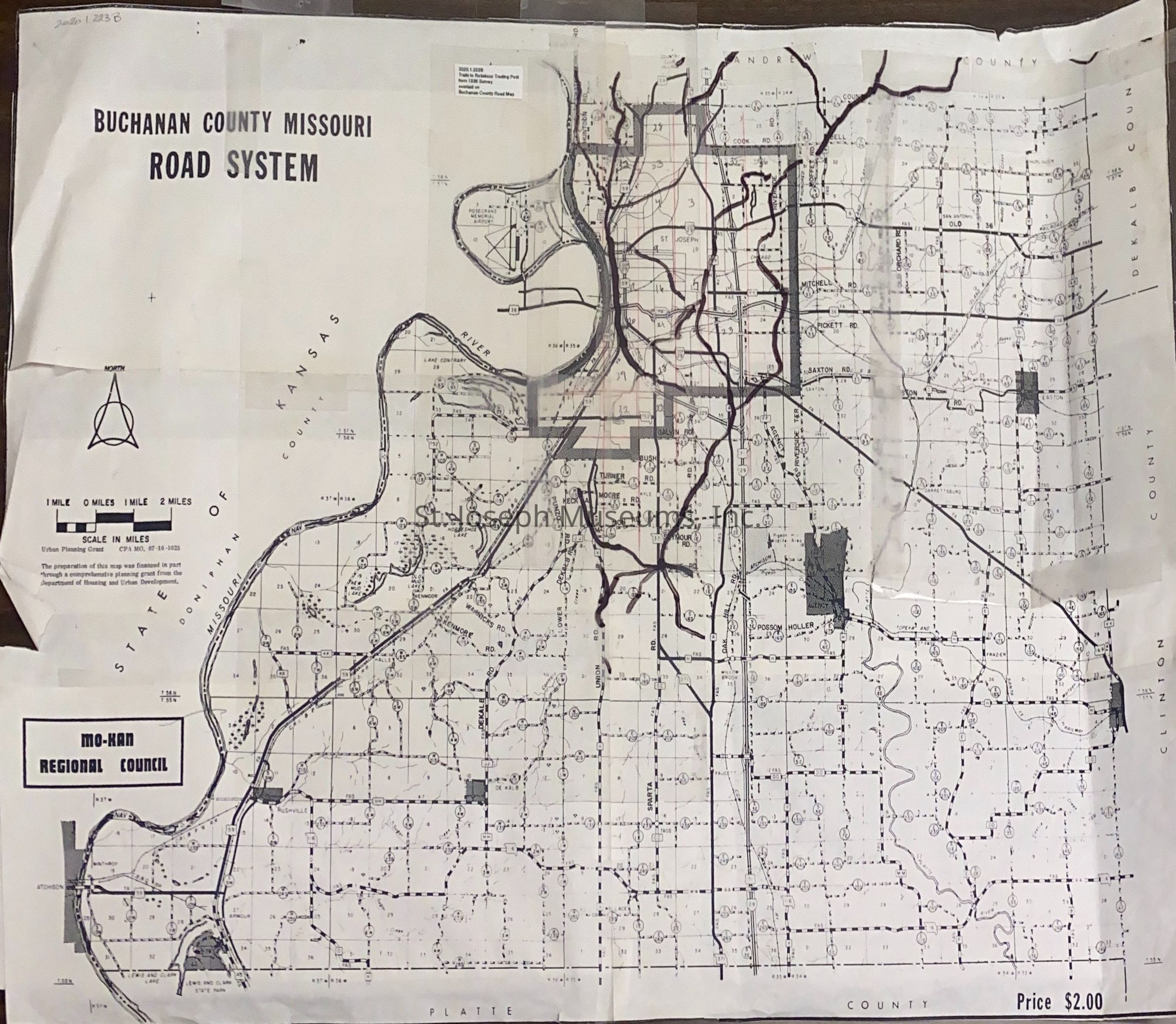
Trails to Joseph Robidoux Trading Post from 1836 Survey Superimposed onto Modern Day Maps of St. Joseph & Buchanan County
Entry/Object ID
AM2020.1.223
Scope and Content
Trails to Joseph Robidoux Trading Post from 1836 Survey Superimposed onto Modern Day Maps of St. Joseph & Buchanan County. Research by St. Joseph Museum staff to locate trails that led from the surrounding area to Robidoux's Trading Post on Roy's Branch. Traces of some of these trails may be visible in 2020.
Staff drew the trails on clear plastic and overlaid it on modern day maps. These may be working copies.
A = St. Joseph City Street Map, St. Joseph Convention/Visitors Bureau, 1996
B = Buchanan County Missouri Road System Map, c. 1990s.
Lexicon
Nomenclature 4.0
Nomenclature Secondary Object Term
Map
Nomenclature Primary Object Term
Cartograph
Nomenclature Sub-Class
Graphic Documents
Nomenclature Class
Documentary Objects
Nomenclature Category
Category 08: Communication Objects
Search Terms
Robidoux Trading Post, St. Joseph History, Early St. Joseph History