Name/Title
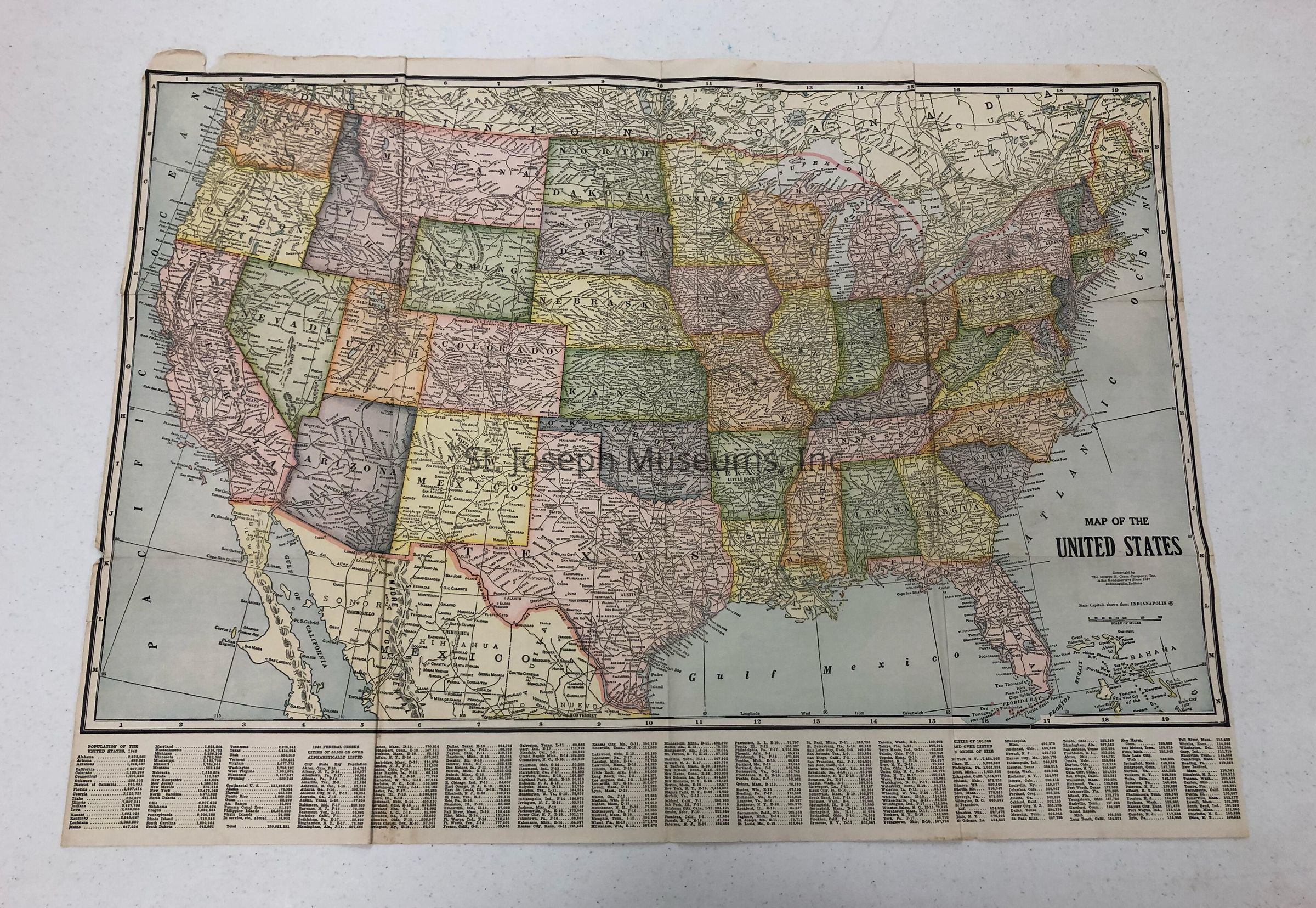
United States Map, 1940Entry/Object ID
AM2014.26.823Scope and Content
United States Map, 1940. Printed by George F. Cram Co., Indianapolis. Includes Population of each state in 1940, and federal census of major towns and cities. St. Joseph has a population of
75,711. States color tinted, roads & highways shown but not named.Collection
Marshall & Melanie WhiteLexicon
Nomenclature 4.0
Nomenclature Secondary Object Term
MapNomenclature Primary Object Term
CartographNomenclature Sub-Class
Graphic DocumentsNomenclature Class
Documentary ObjectsNomenclature Category
Category 08: Communication ObjectsLOC Thesaurus for Graphic Materials
MapsSearch Terms
United States Map, 1940