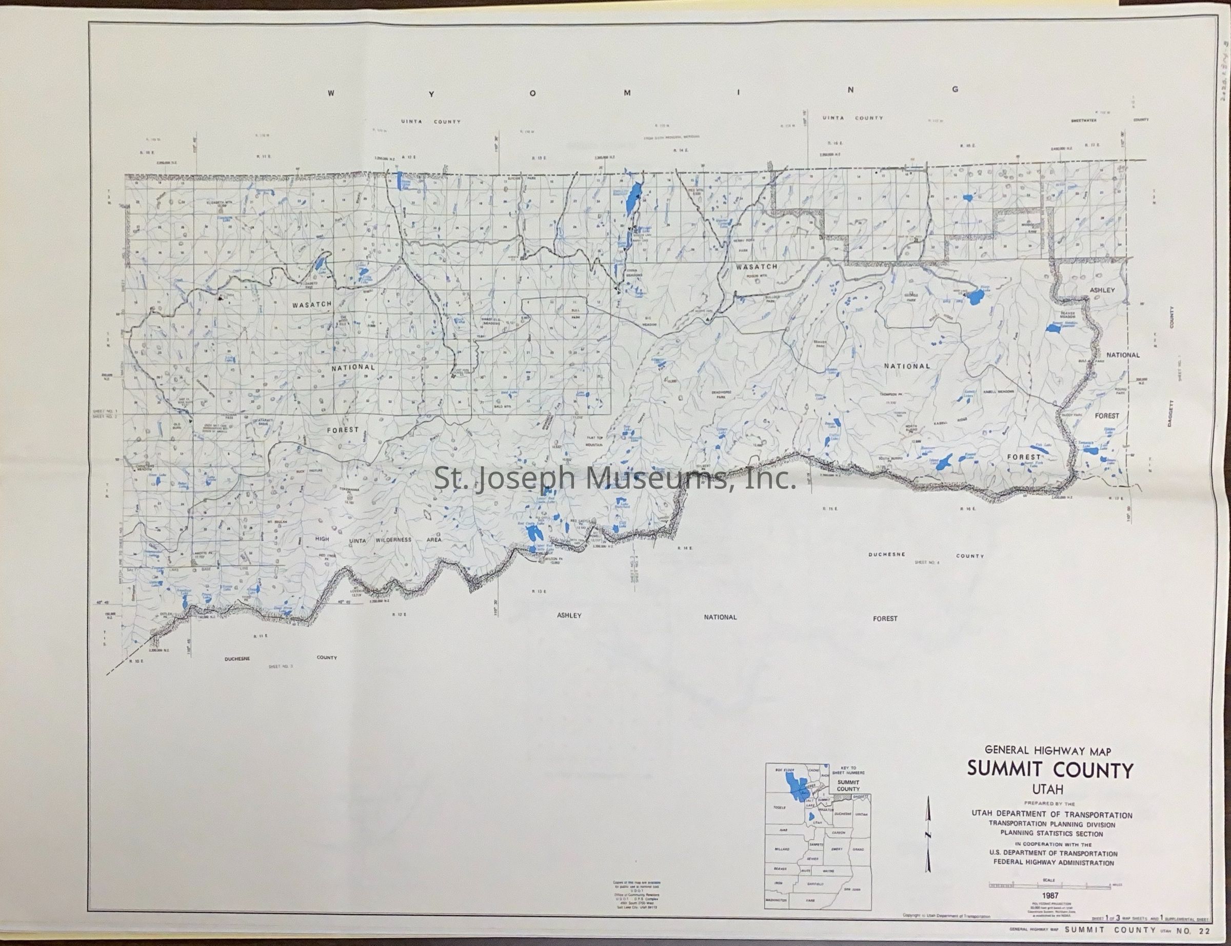
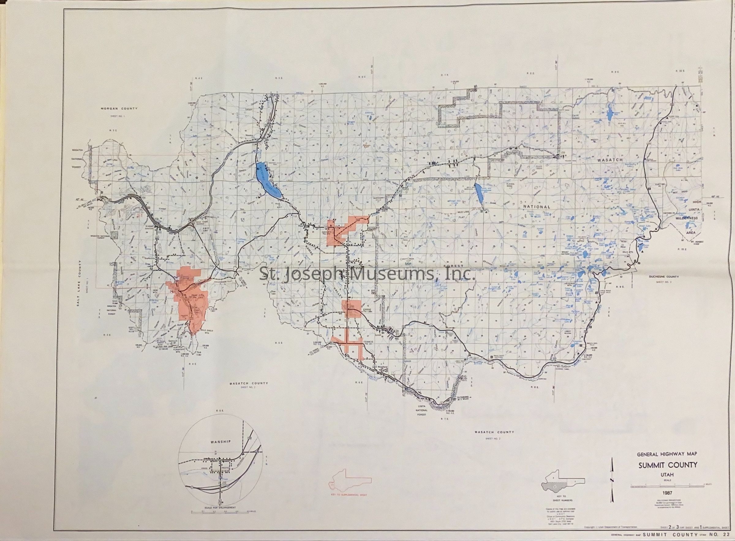
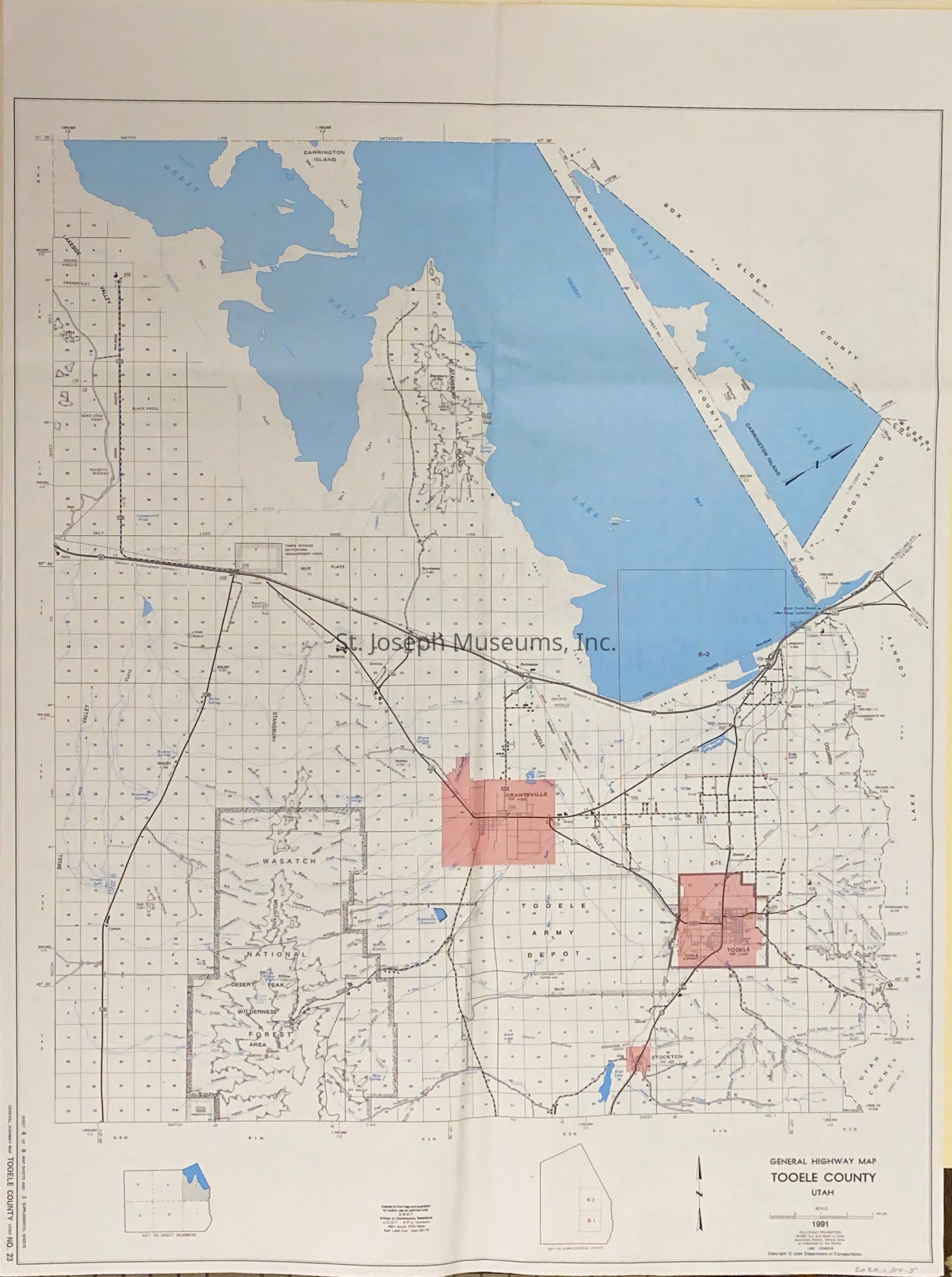
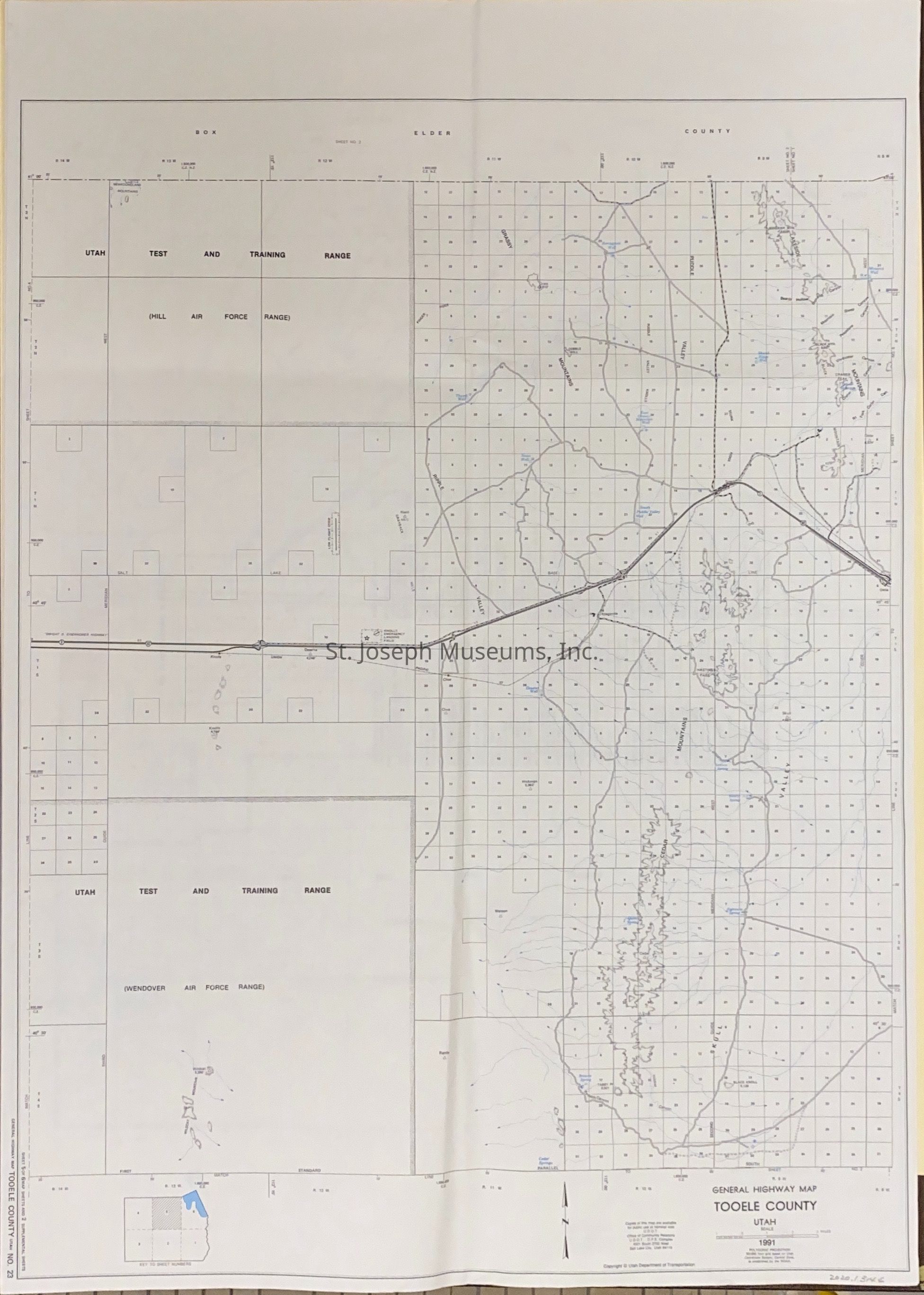
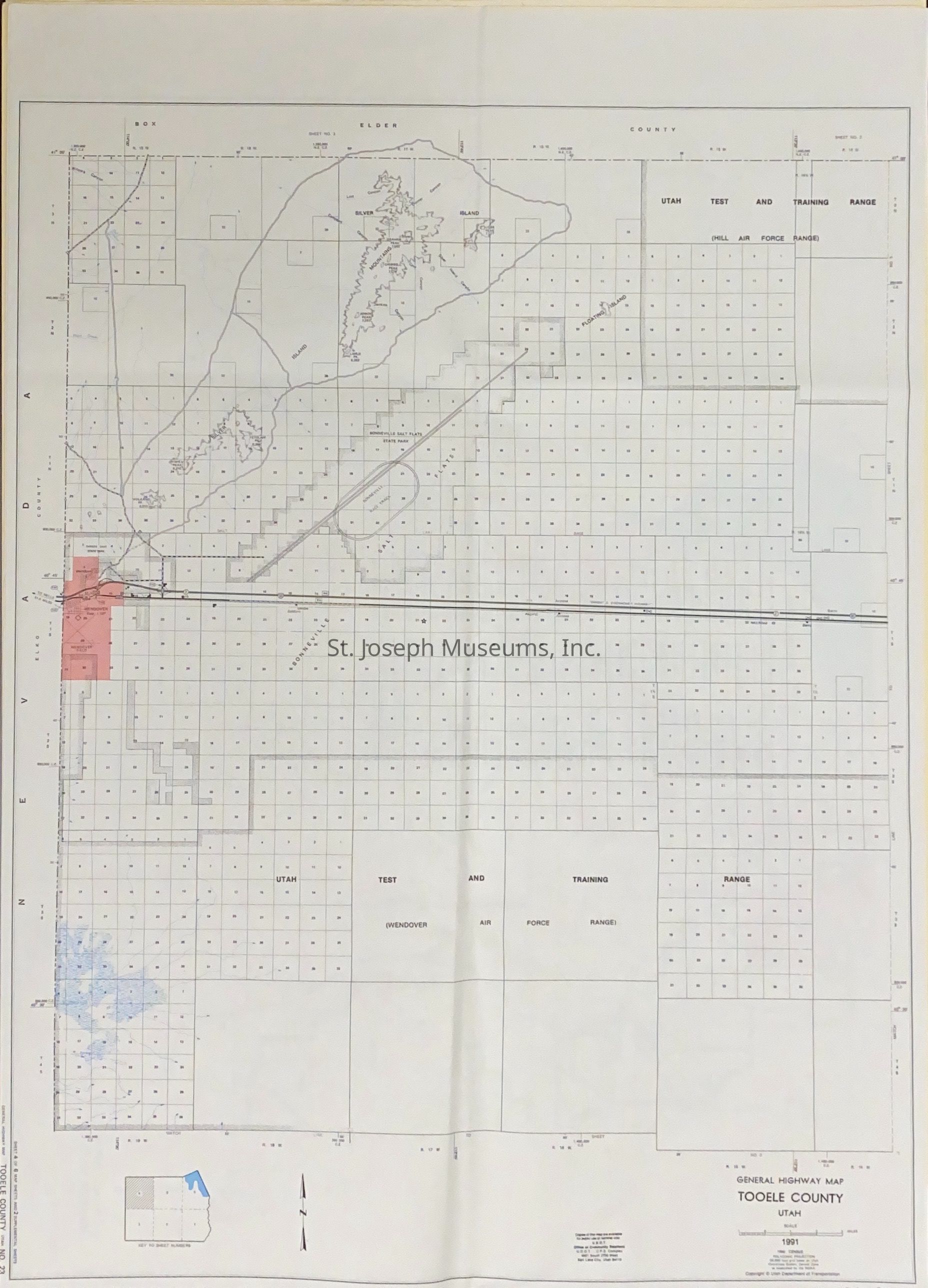
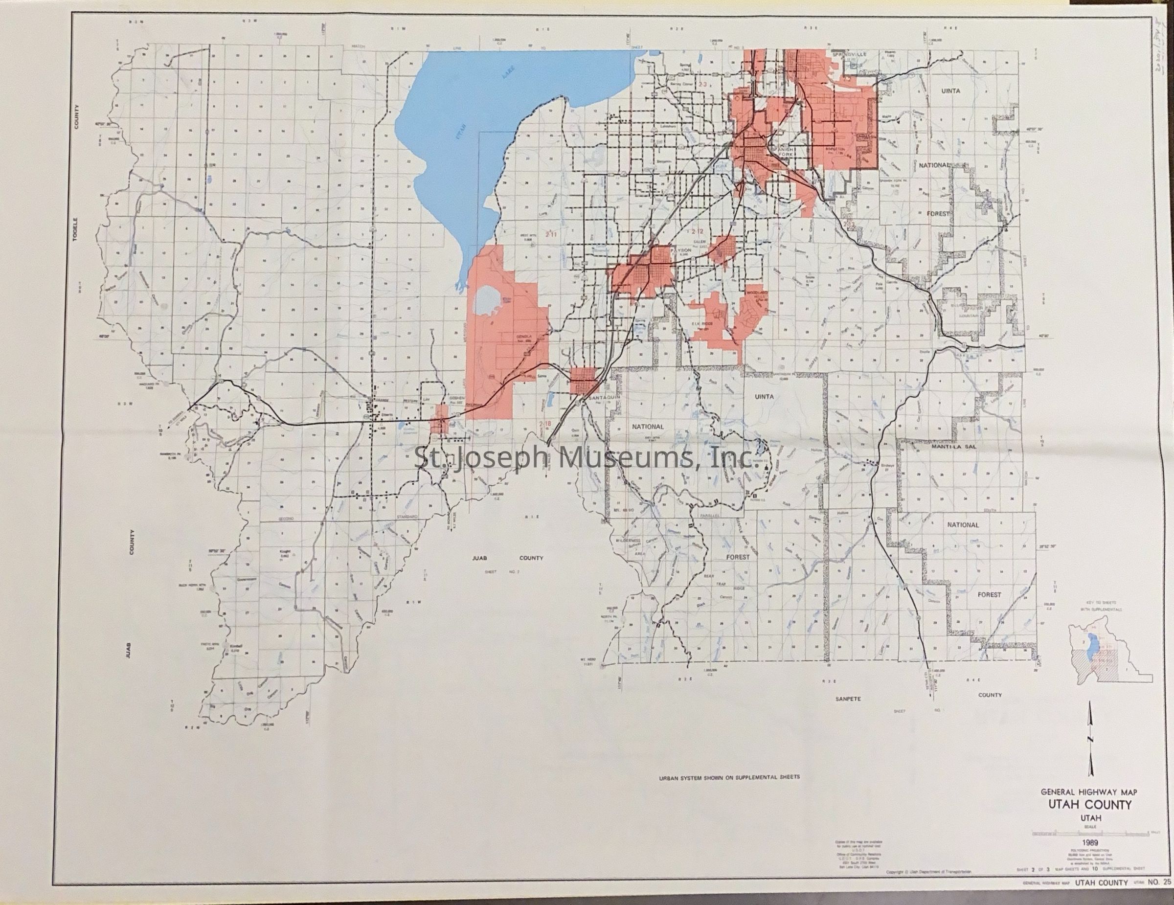
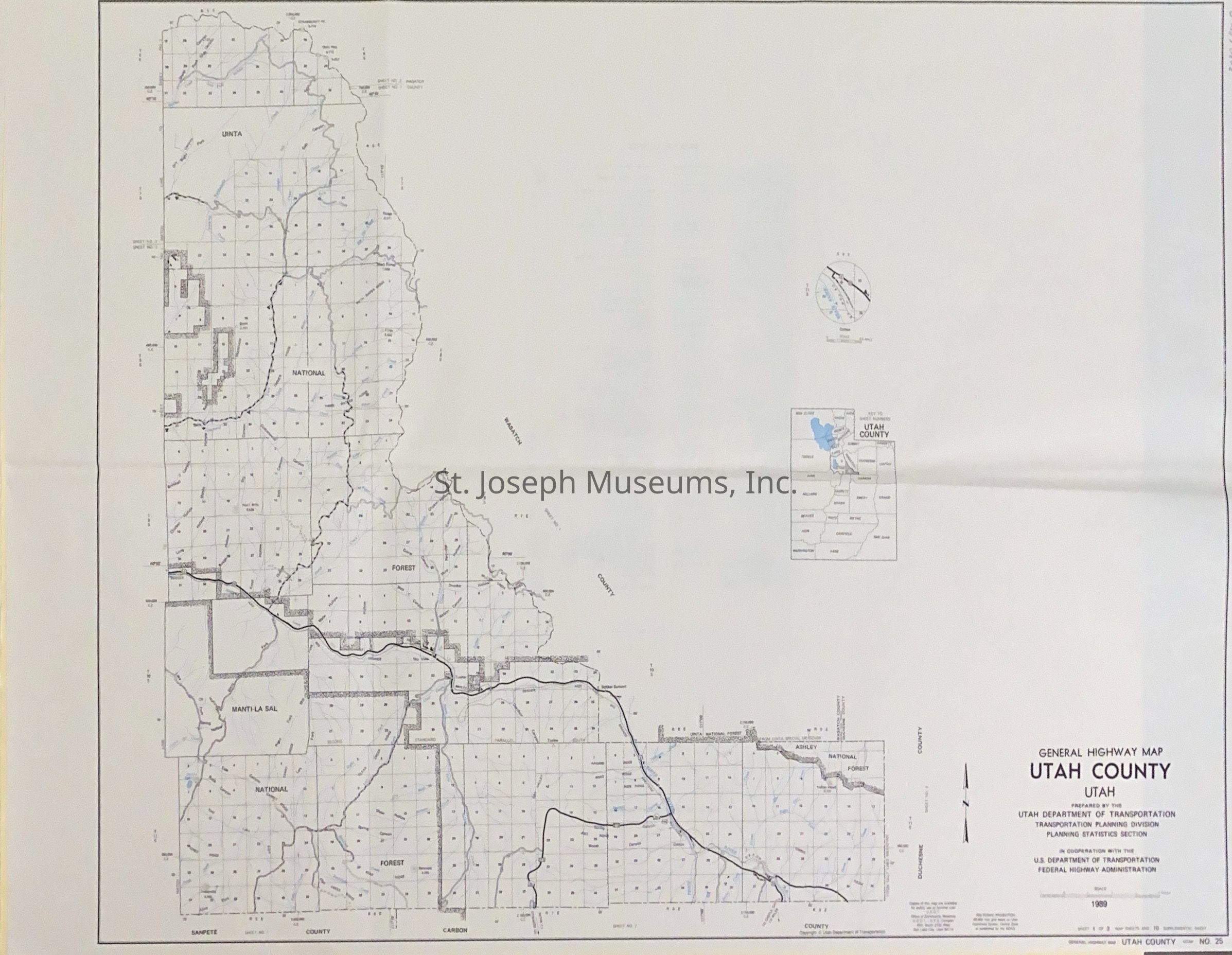
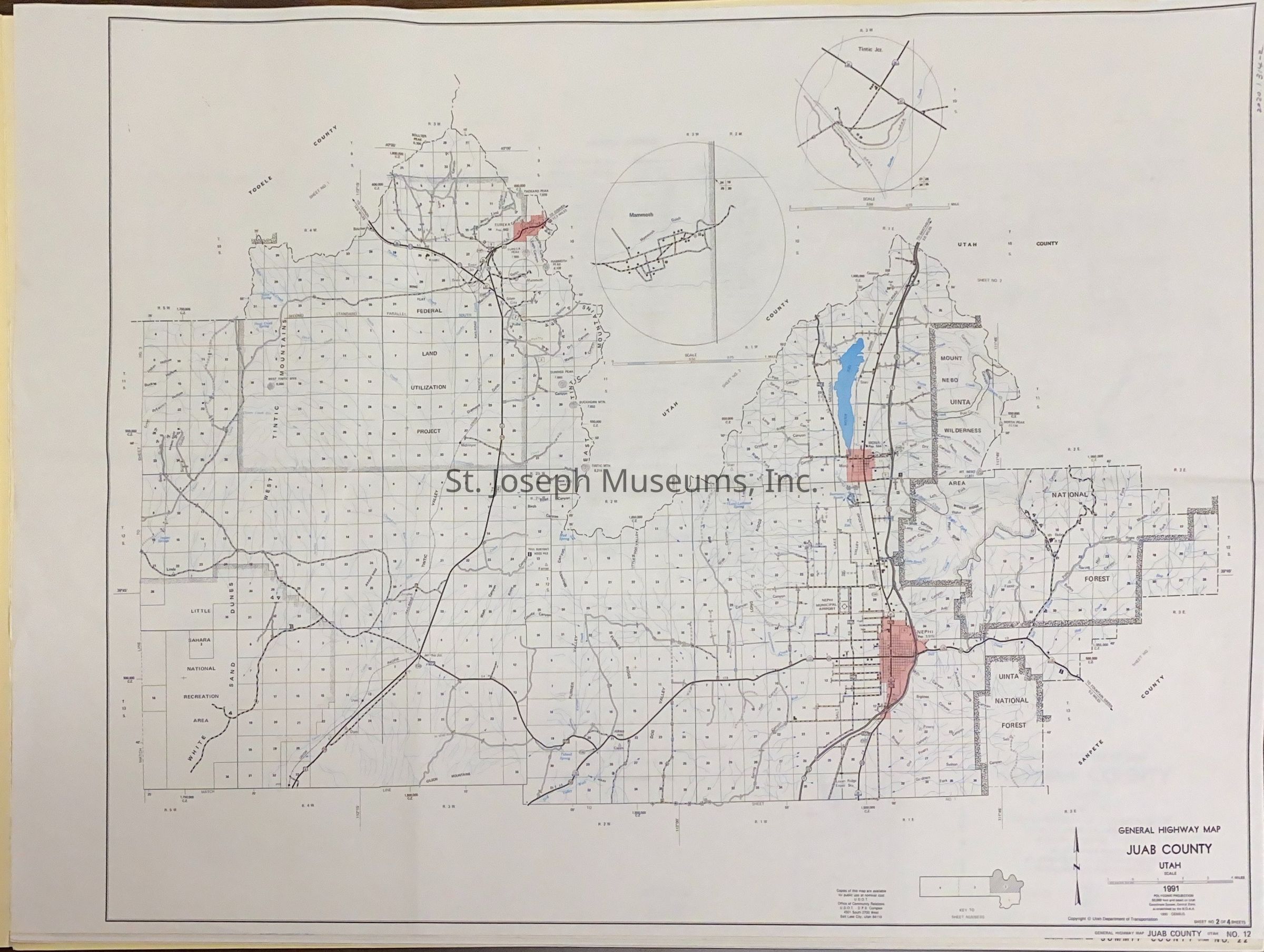
Utah Highway Maps for Counties on the Pony Express Trail, 1991

Name/Title

Utah Highway Maps for Counties on the Pony Express Trail, 1991

Entry/Object ID

AM2020.1.314

Scope and Content

Utah Highway Maps for Counties on the Pony Express Trail, 1991. Nine highway maps from selected California counties through which the Pony Express Trail ran. Maps used by SJM staff when studying the route of the Pony Express. No markings by staff on these maps. Counties include: --Tooele County --Juab County --Summit County
Lexicon

Nomenclature 4.0

Nomenclature Secondary Object Term

Map

Nomenclature Primary Object Term

Cartograph

Nomenclature Sub-Class

Graphic Documents

Nomenclature Class

Documentary Objects

Nomenclature Category

Category 08: Communication Objects

LOC Thesaurus for Graphic Materials

Pony express

Search Terms

Pony Express Trail, Utah Maps

Condition

Overall Condition

Fair

Maintenance

Maintenance History

Date

Dec 15, 2020