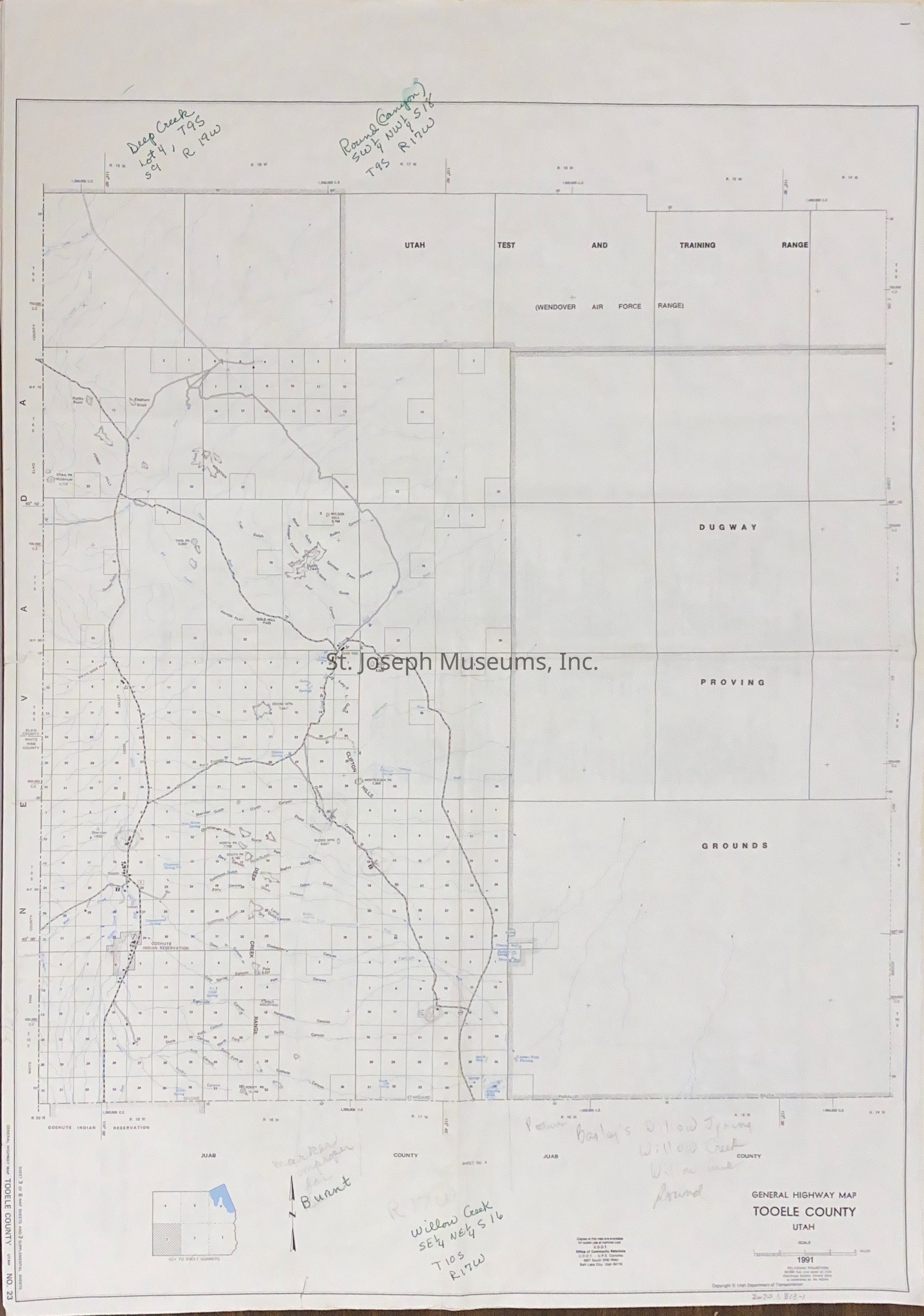
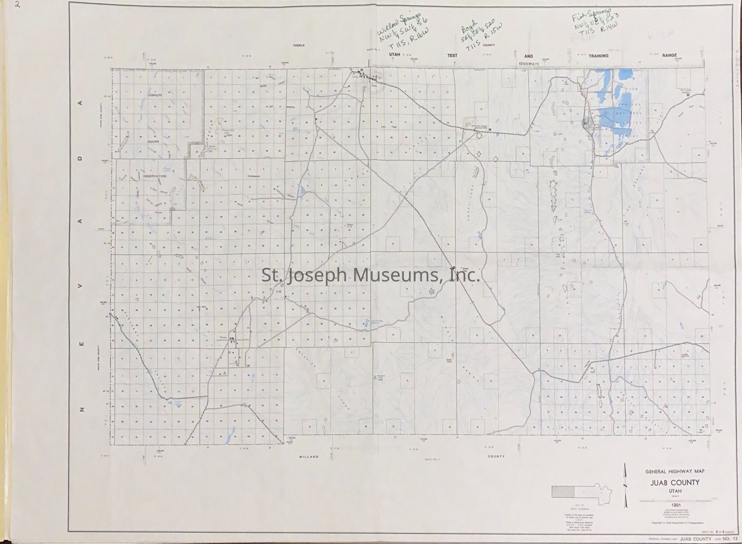
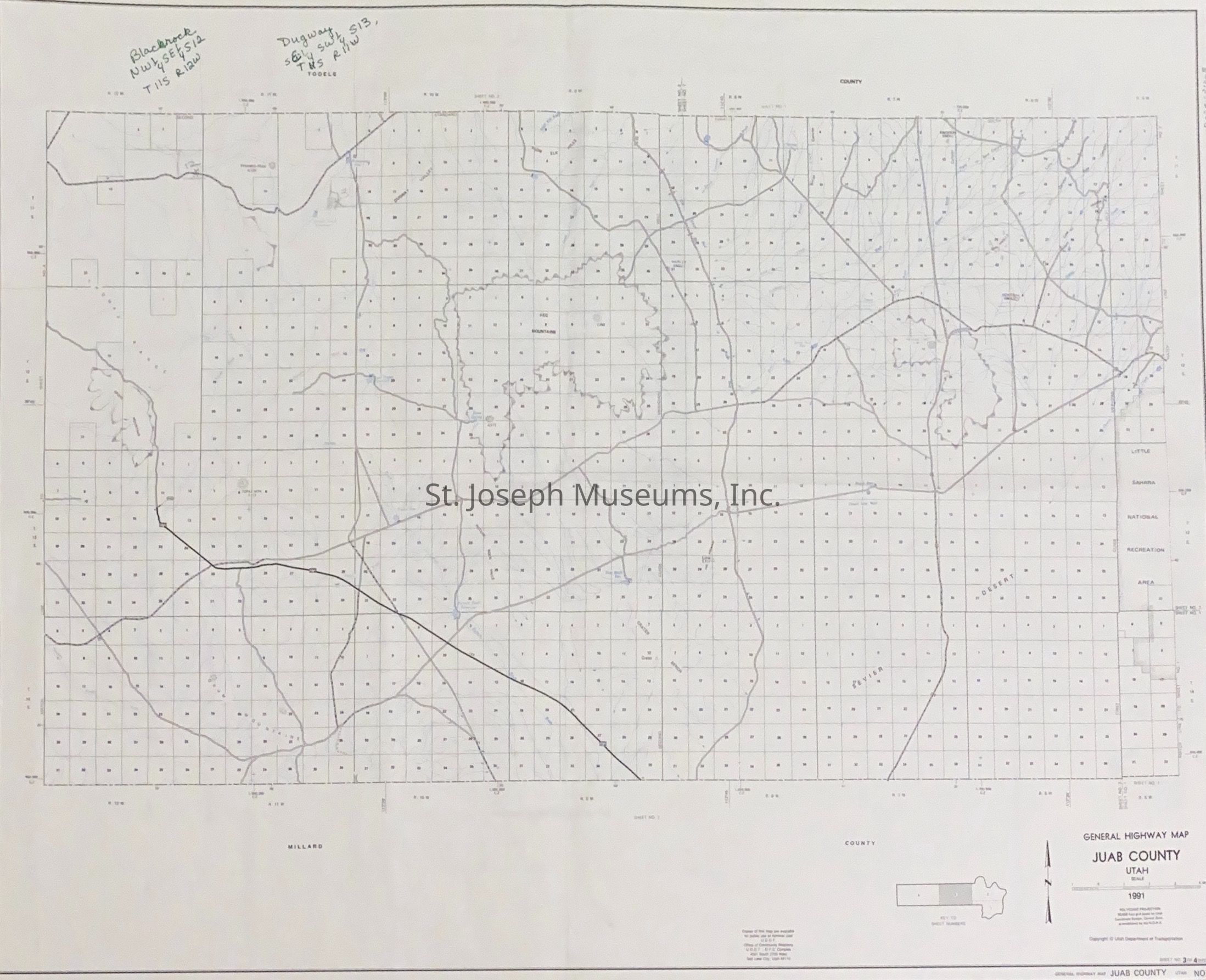
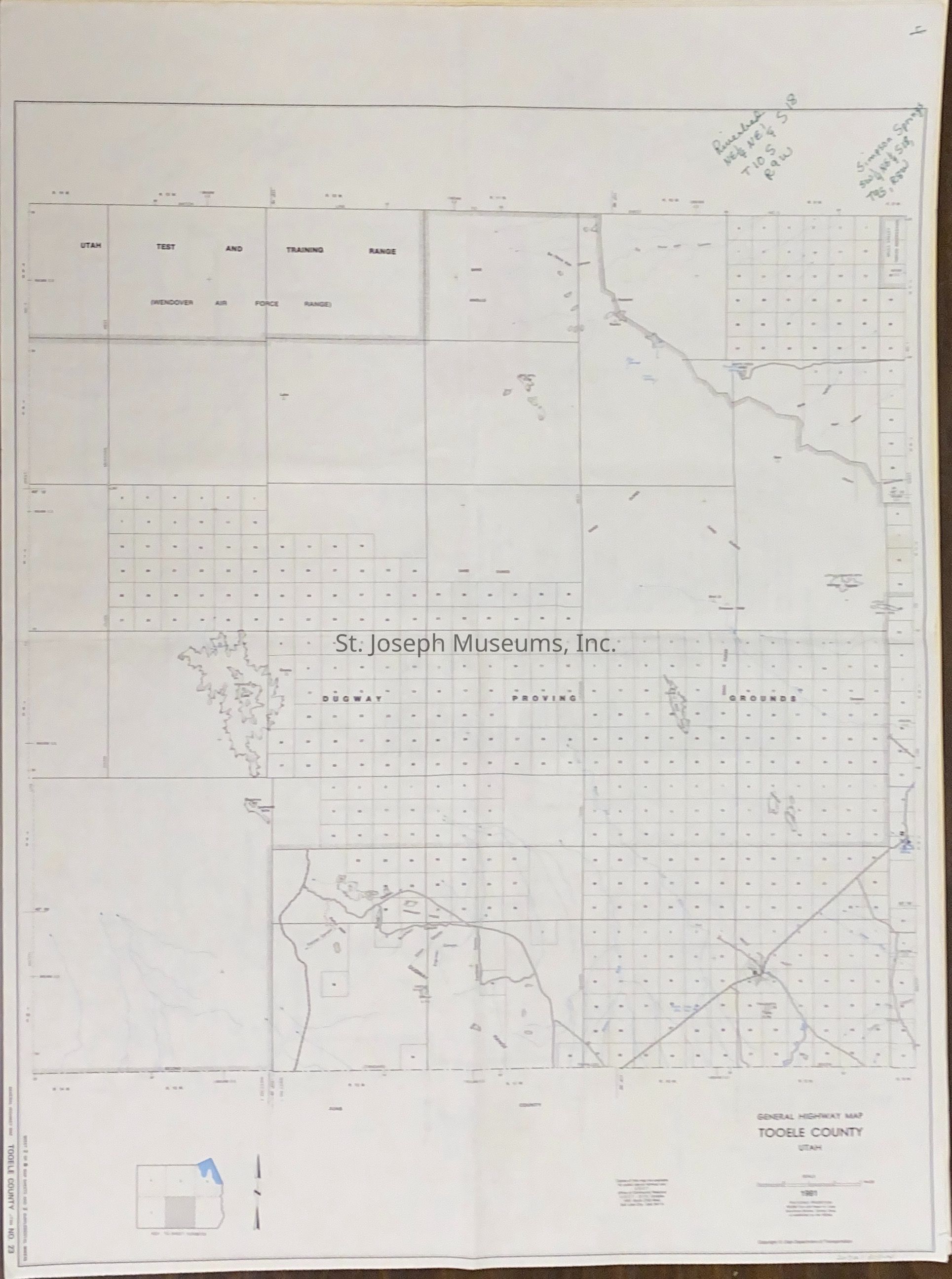
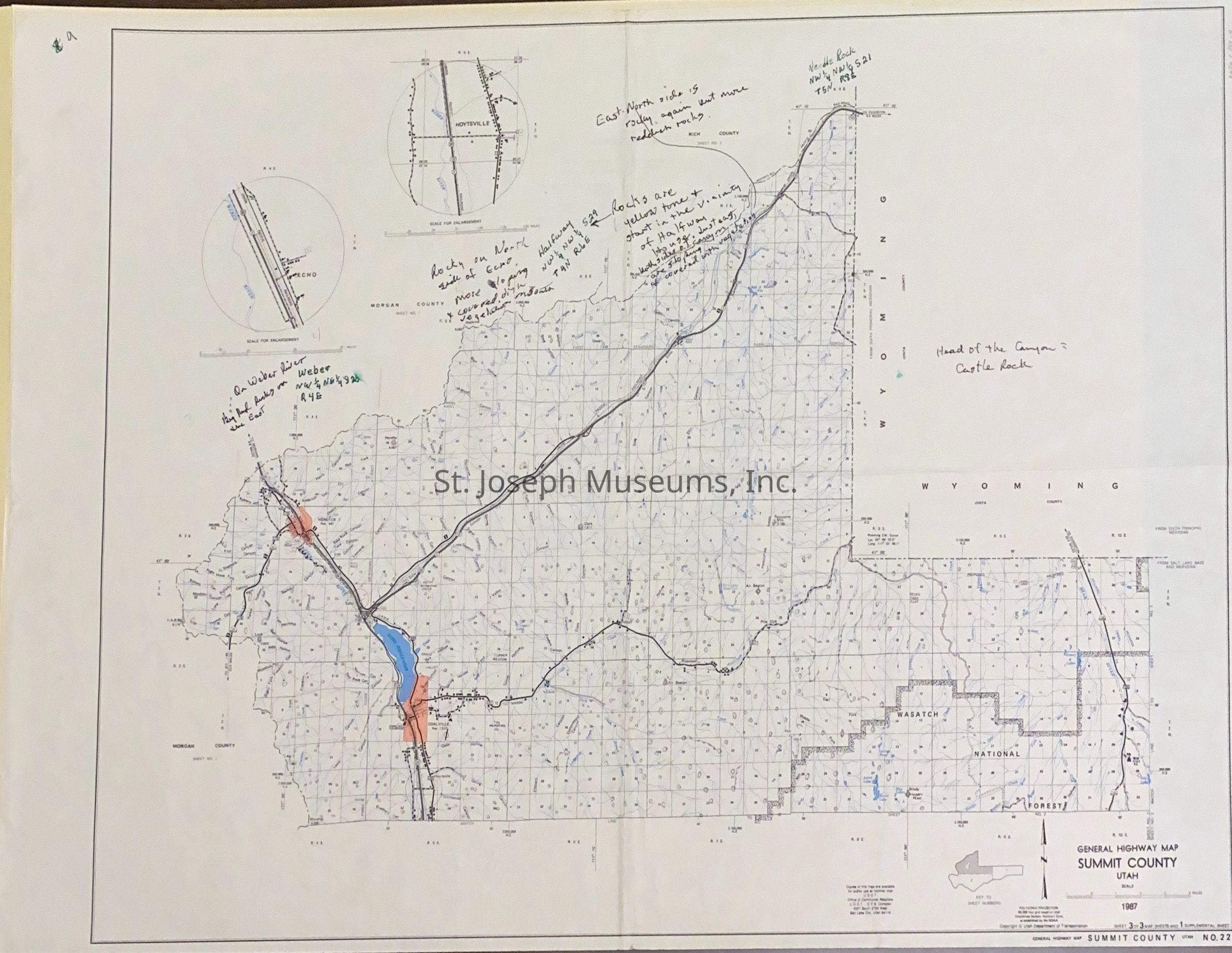
Utah Highway Maps for Counties on the Pony Express Trail, 1991
Entry/Object ID
AM2020.1.313
Scope and Content
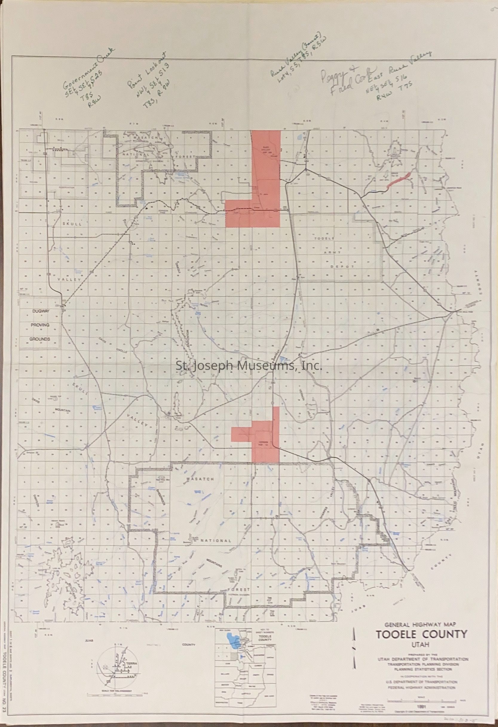
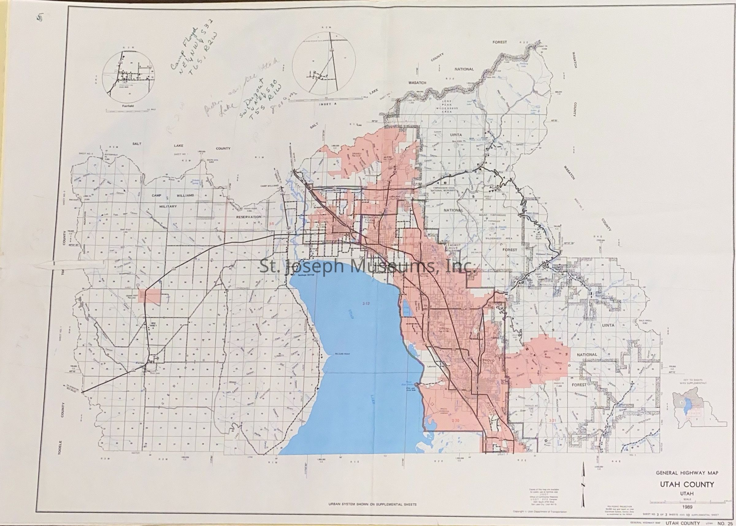
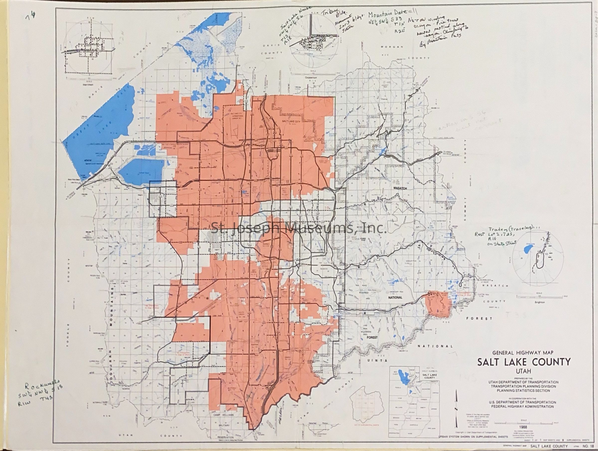
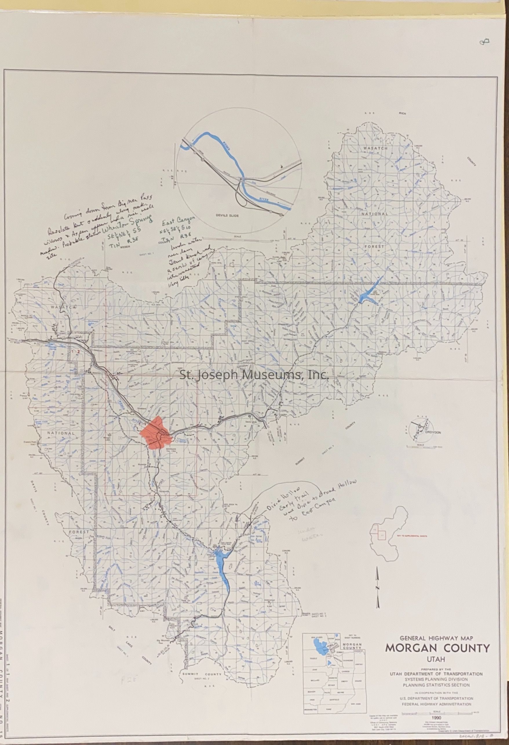
Utah Highway Maps for Counties on the Pony Express Trail, 1991. Nine highway maps from selected California counties through which the Pony Express Trail ran.
Maps used by SJM staff when studying the route of the Pony Express. Maps are given consecutive numbers and some notations by staff in green ink on maps.
Counties include:
--Tooele County
--Juab County
--Utah County
--Salt Lake County
--Morgan County
--Summit County