Name/Title
Walker Lake, Nevada Topographical Relief Map, 1969Entry/Object ID
AM2020.1.267Scope and Content
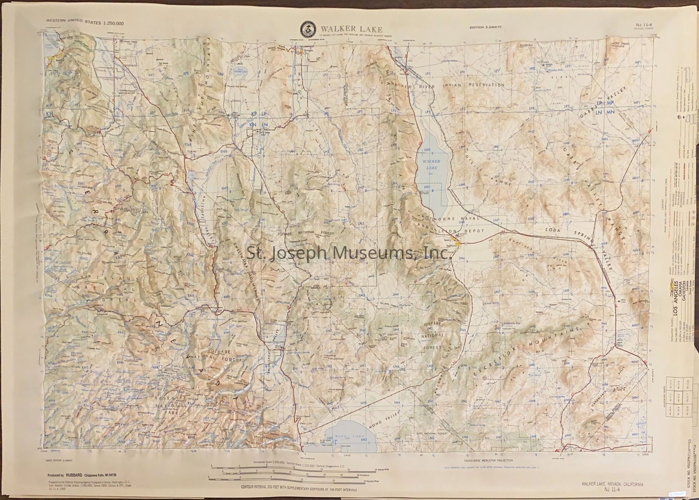
Walker Lake, Nevada Topographical Relief Map, 1969. Plastic relief map of the area around and to the west of Walker Lake. Shows the terrain, railroad, major highways traversing the area. Used by SJM to establish route of Pony Express.
Title: Walker Lake, Nevada; California, NJ 11-4 Transverse Mercator Projection.
Produced by: Hubbard, Chippewa Falls, Wisconsin
Prepared by Defense Mapping Agency Topographical Center, Washington, D.C. 1969Lexicon
Search Terms
Pony Express Trail, Walker Lake, Nevada