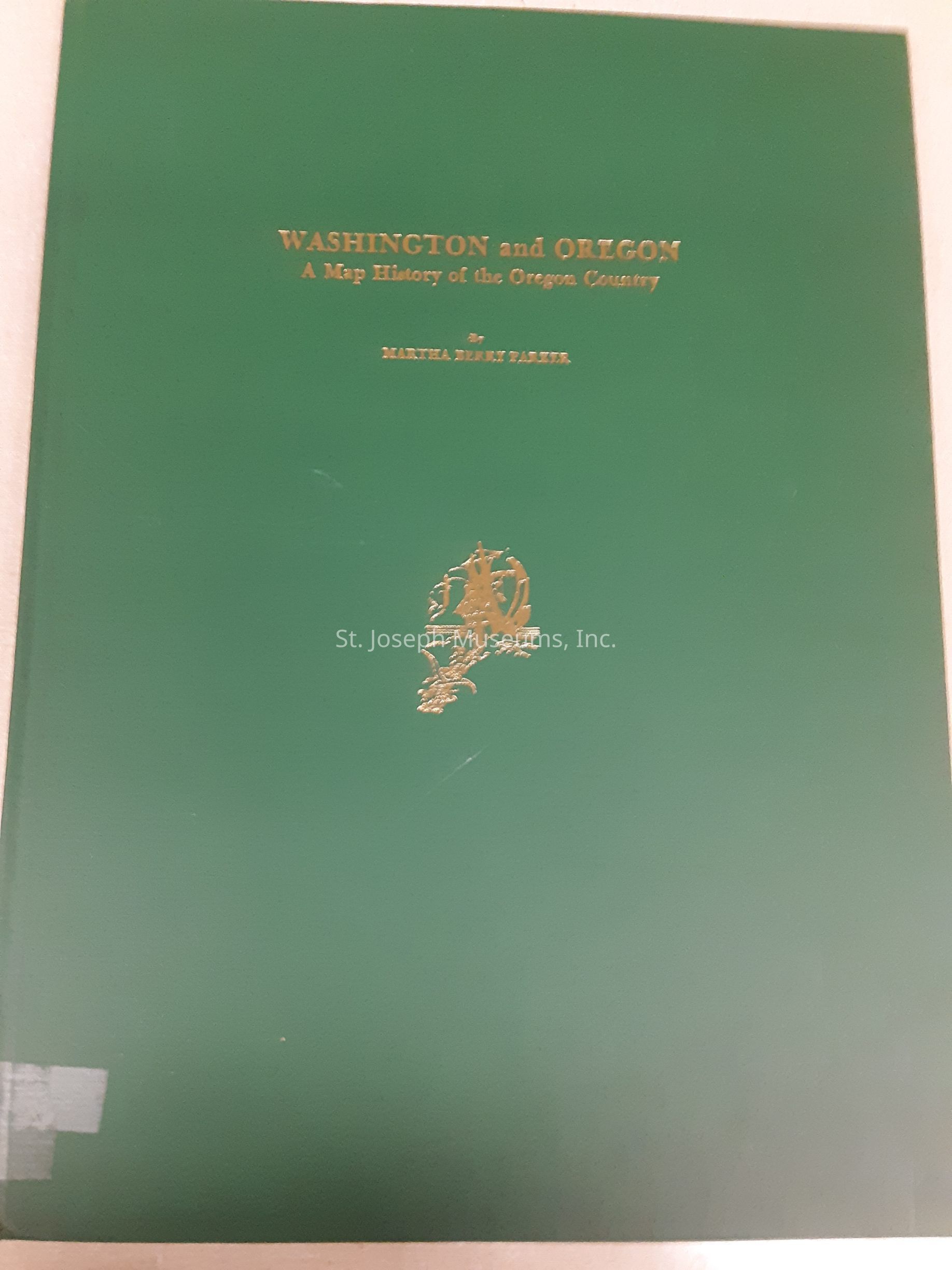
Washington and Oregon, A Map History of the Oregon Country
Entry/Object ID
L1996.16.106
Description
Washington and Oregon, A Map History of the Oregon Country. This book is a collection of maps from various sources including those of Lewis and Clark, Pierre-Jean De Smet, and others beginning with early European versions of North America: 1492, 1512, and 1526. Most of the maps are dated in the 1800's. Topics for the maps include: Fur Traders' maps; explorer's maps; political divisions of the Oregon Country; Indian locations and wars; Union Pacific Overland Route; and more. The last entry is titled, "Major dams in the Oregon Country--New States 1889-1959. Included is a bibliography.
96/Hardbound/Maps
Lexicon
Nomenclature 4.0
Nomenclature Primary Object Term
Book
Nomenclature Sub-Class
Other Documents
Nomenclature Class
Documentary Objects
Nomenclature Category
Category 08: Communication Objects
LOC Thesaurus for Graphic Materials
Maps, Fur trade
Search Terms
Washington Territory, Oregon Territory, Lewis & Clark, DeSmet, Pierre-Jean, Overland Route, Union Pacific Railroad, Dams in Oregon