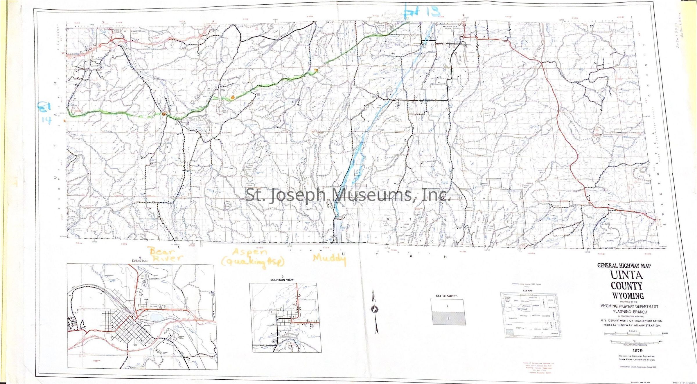
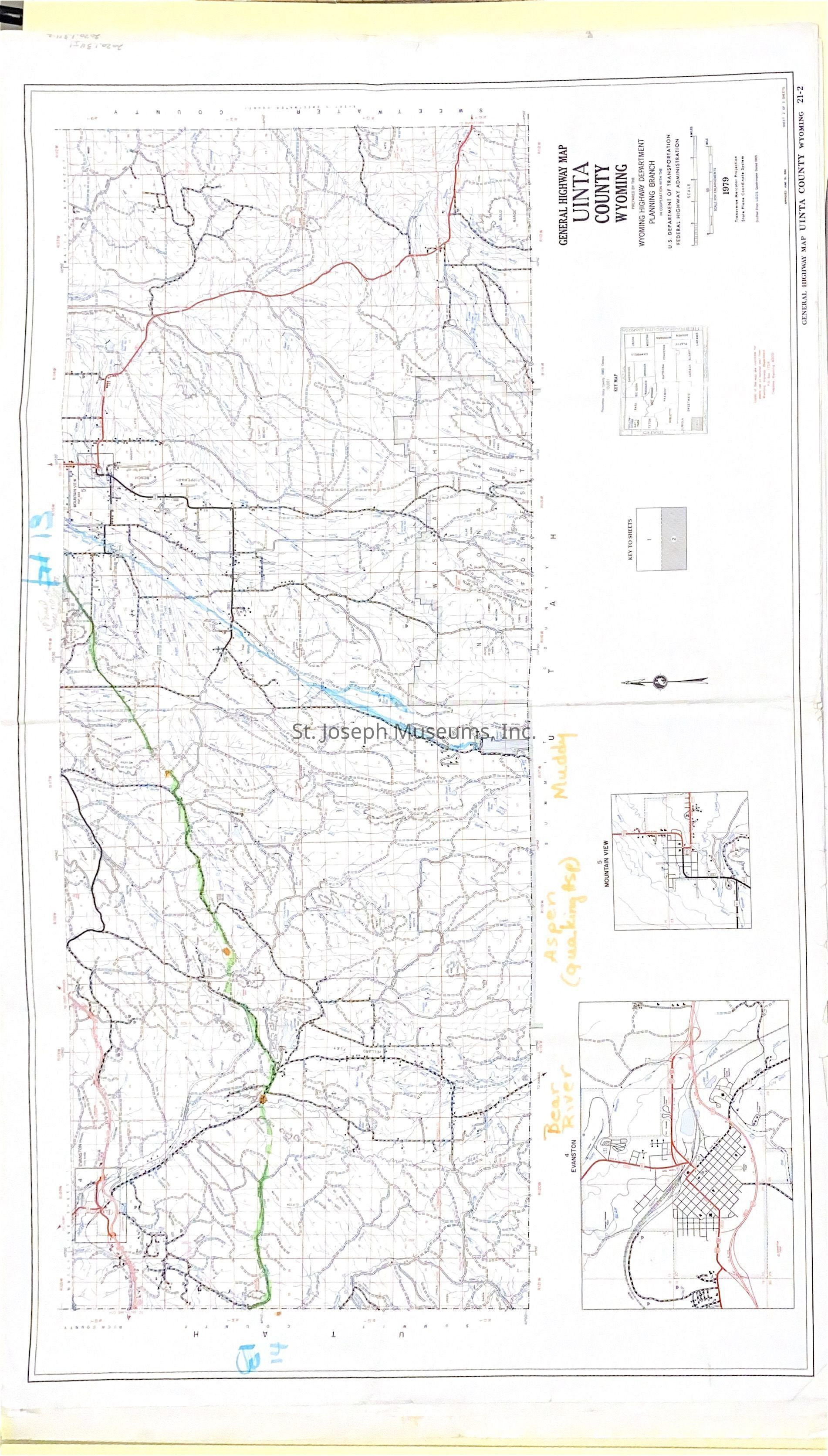
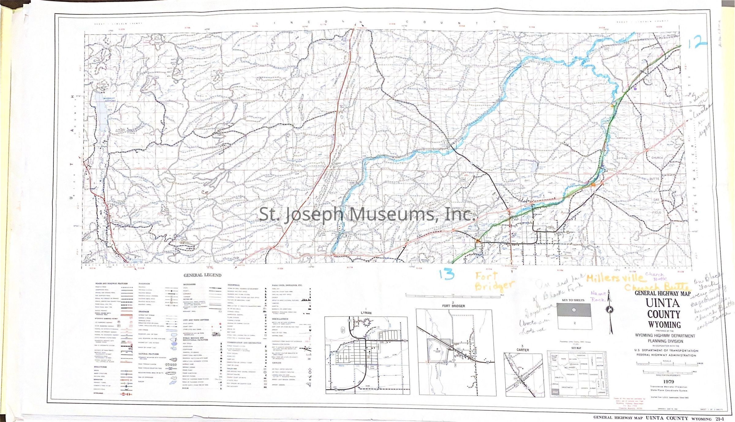
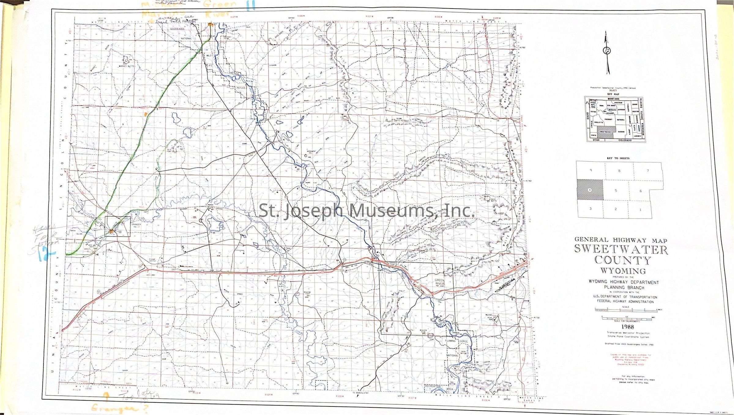
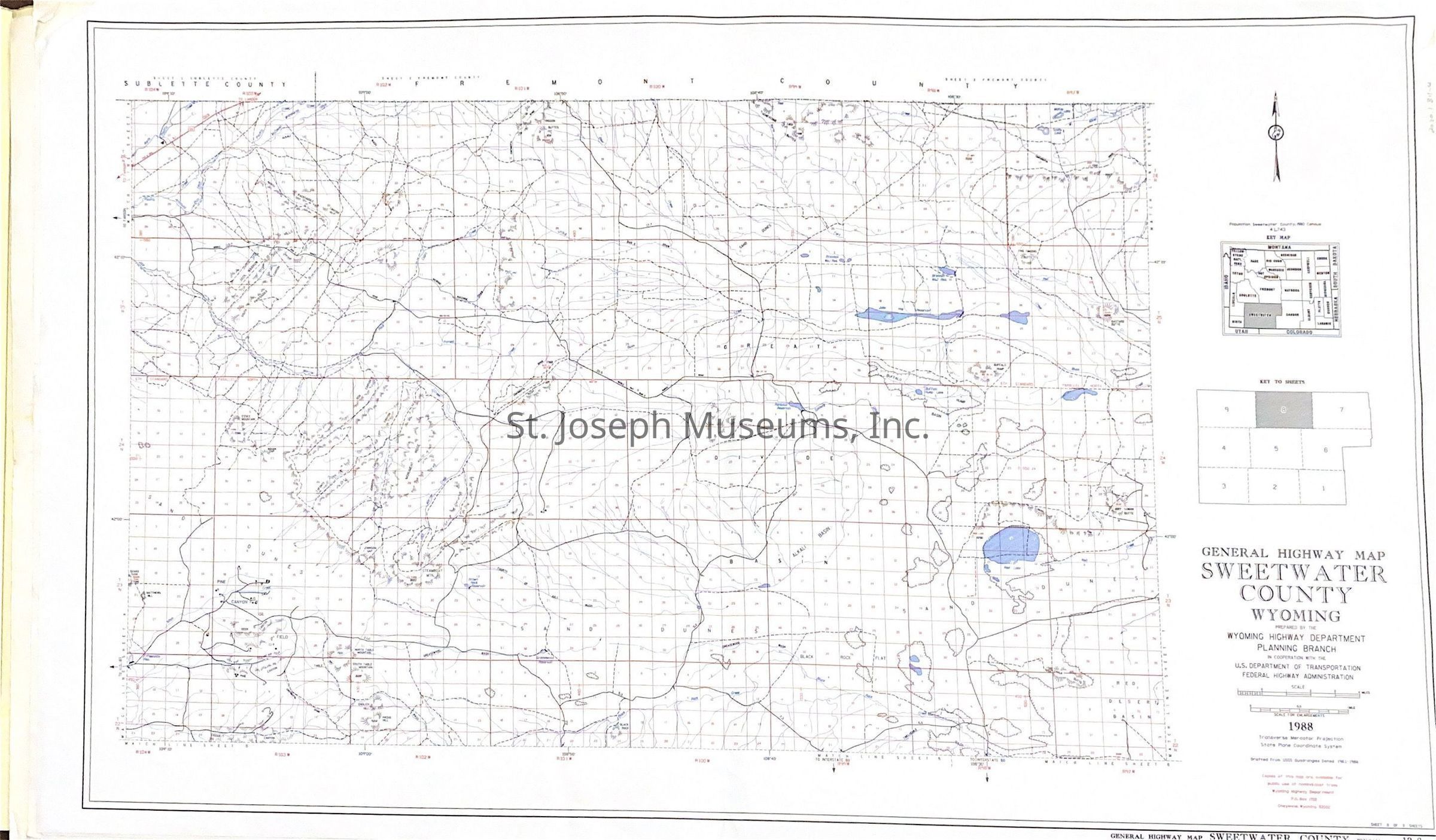
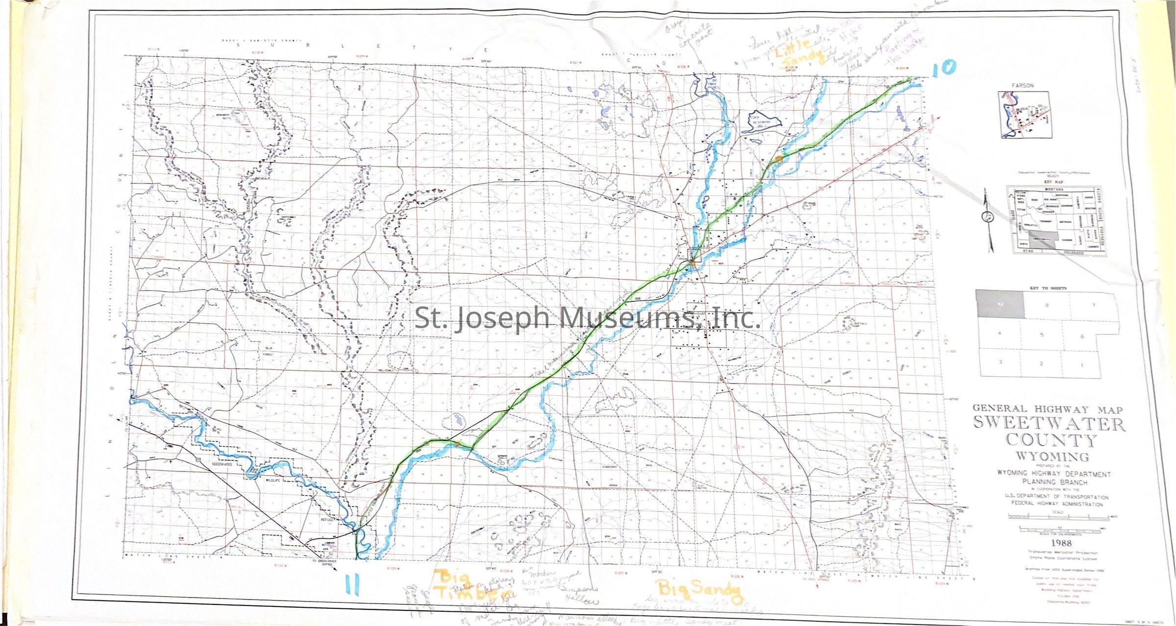
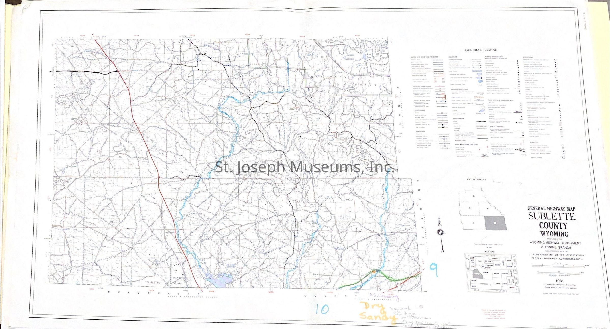
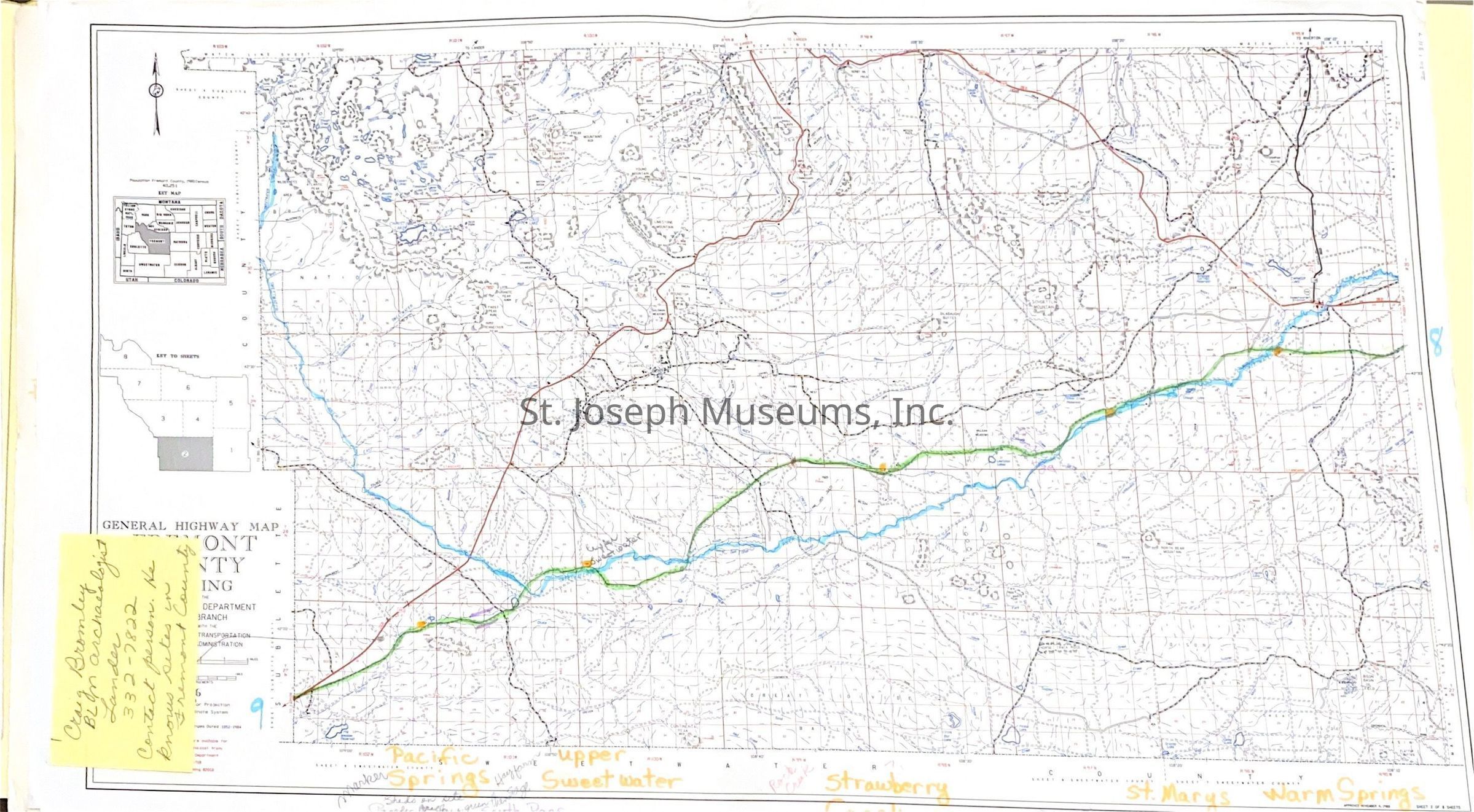
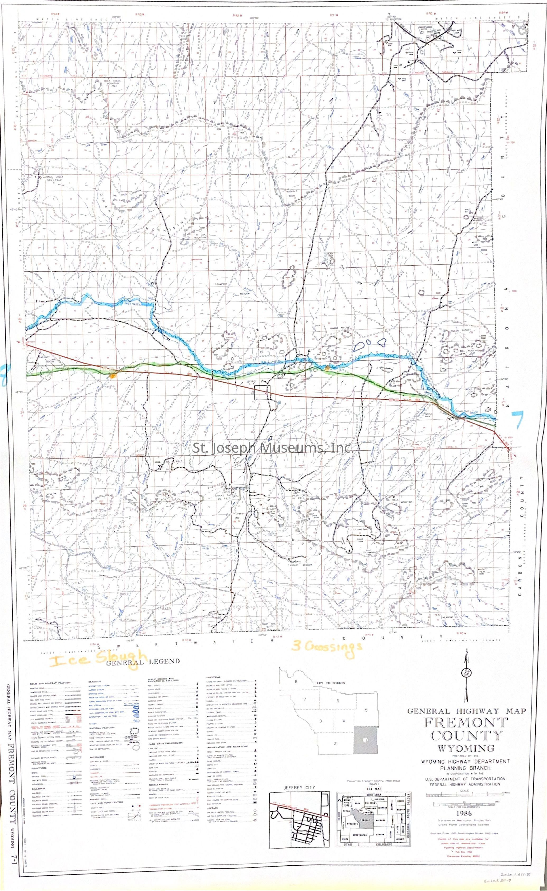
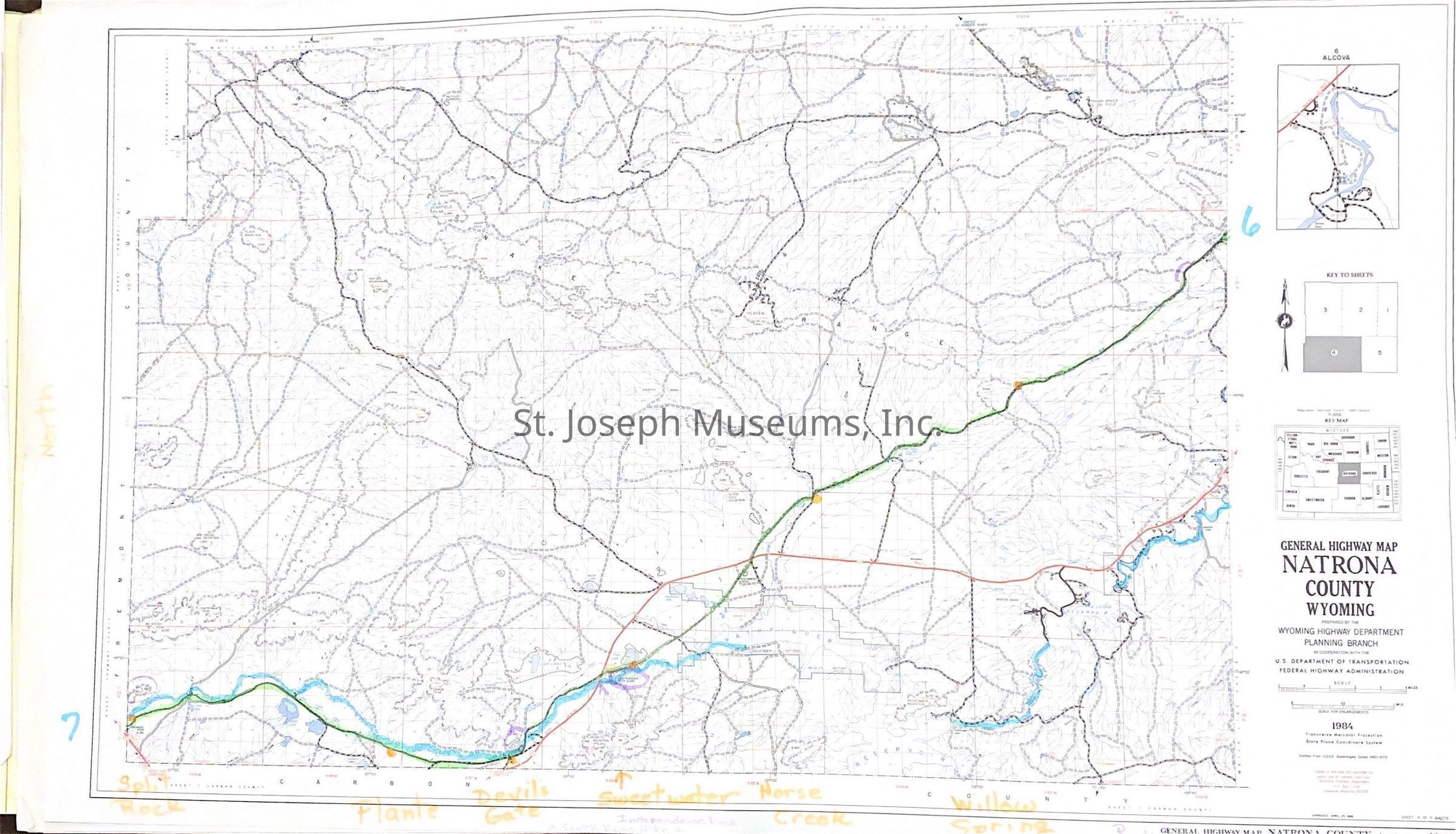
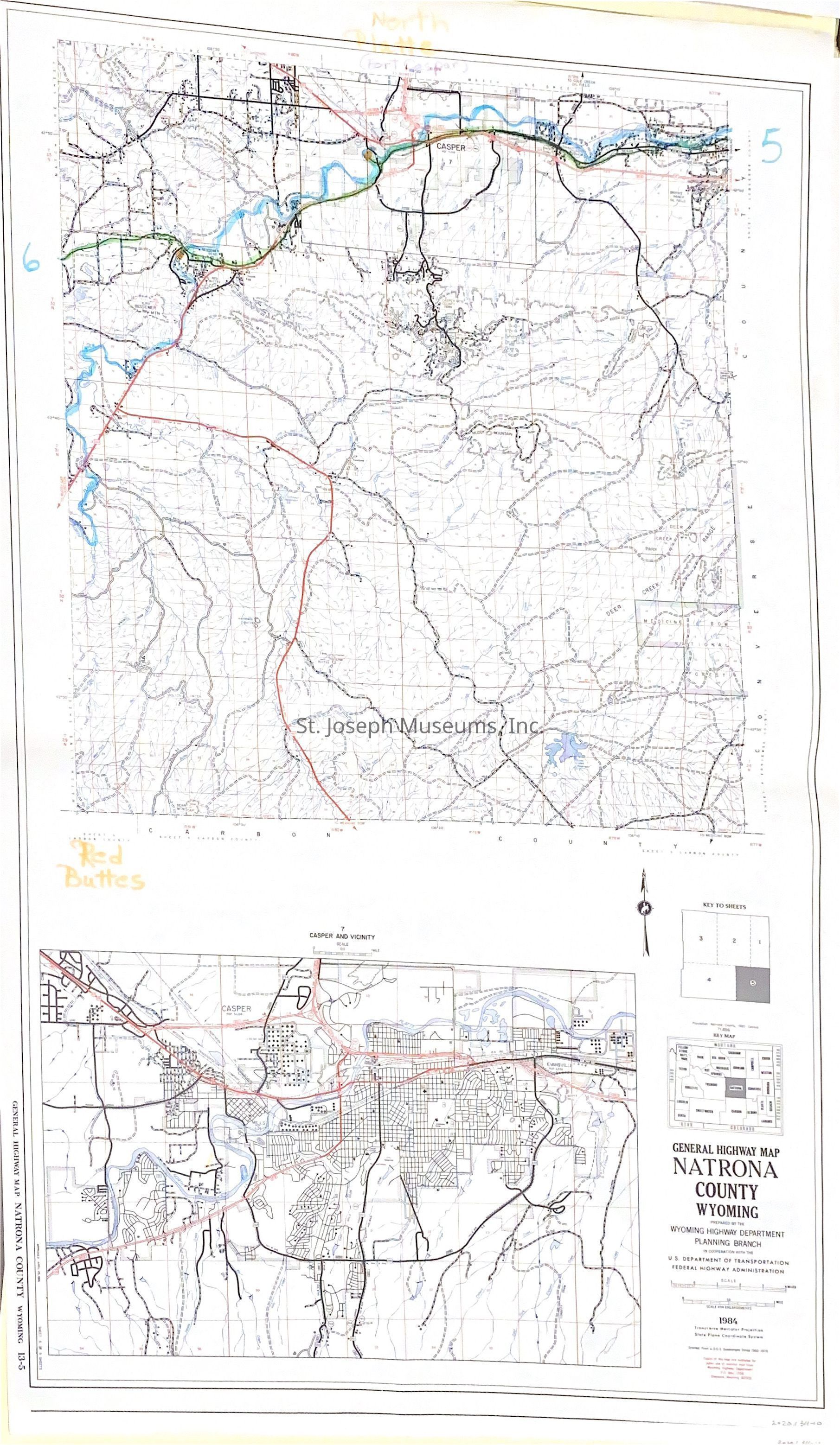
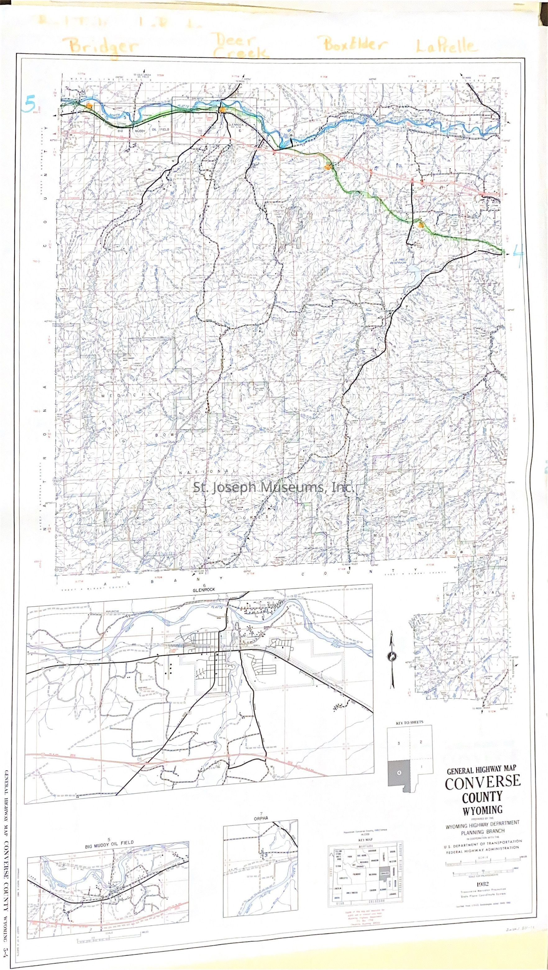
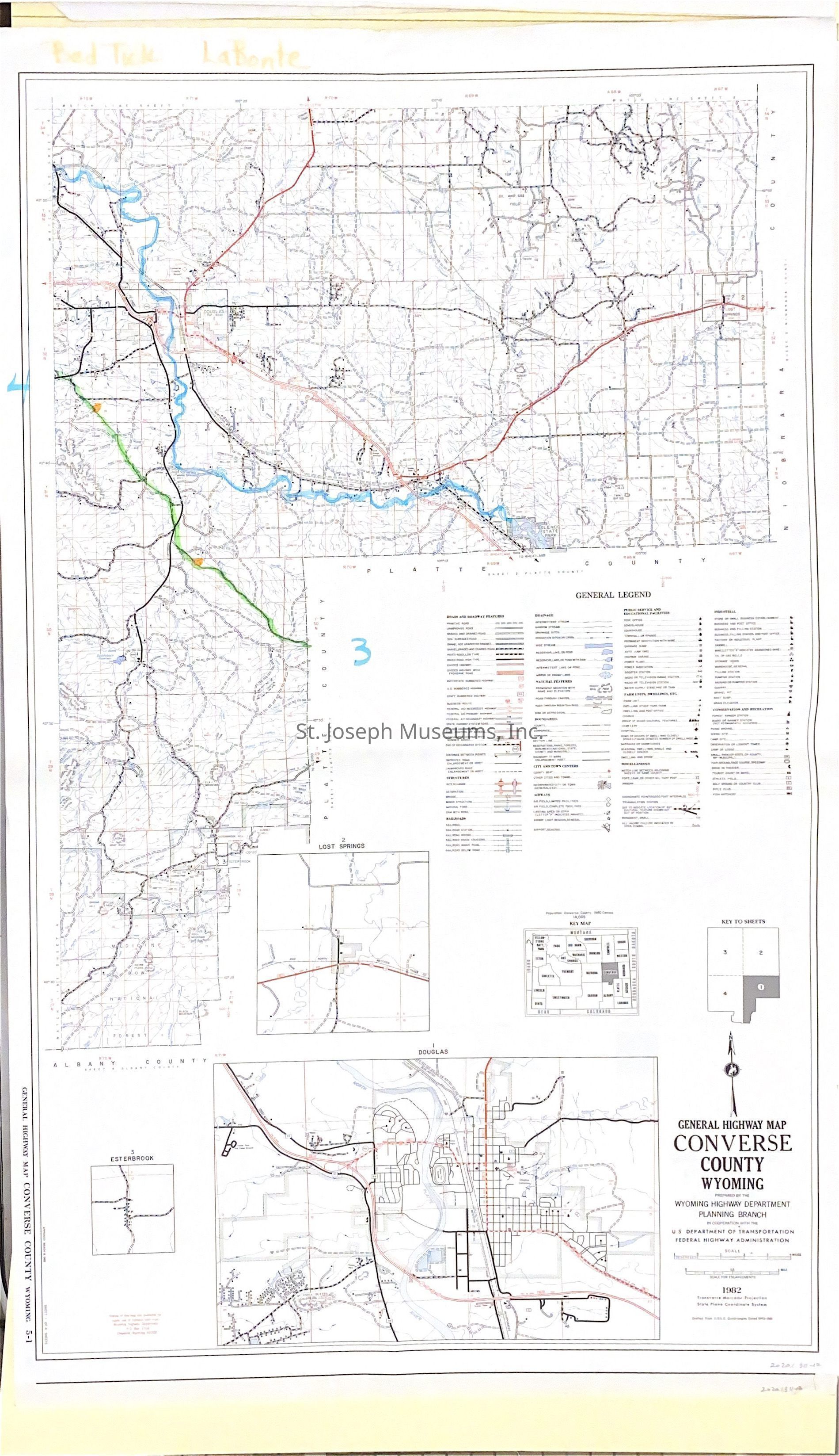
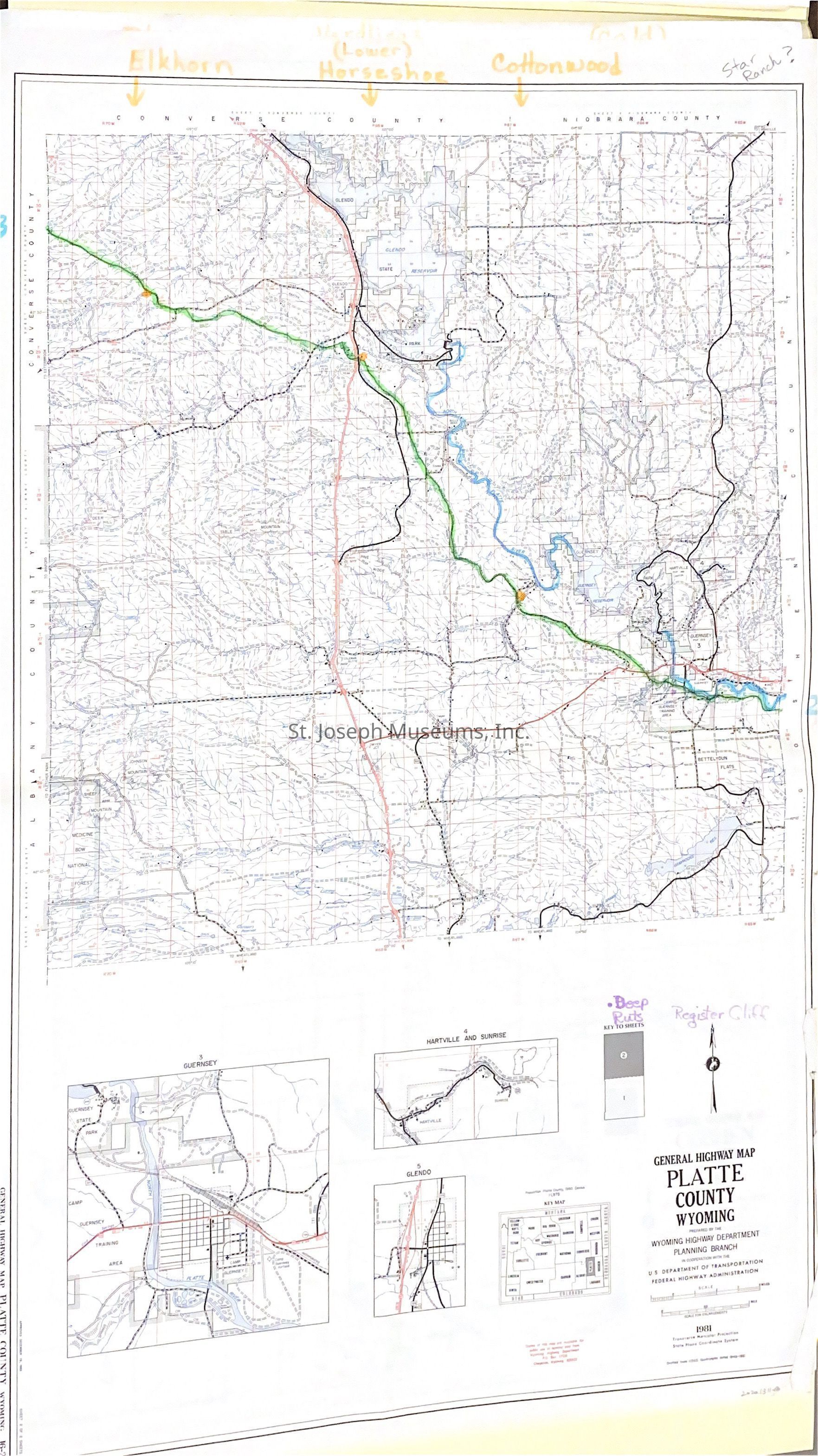
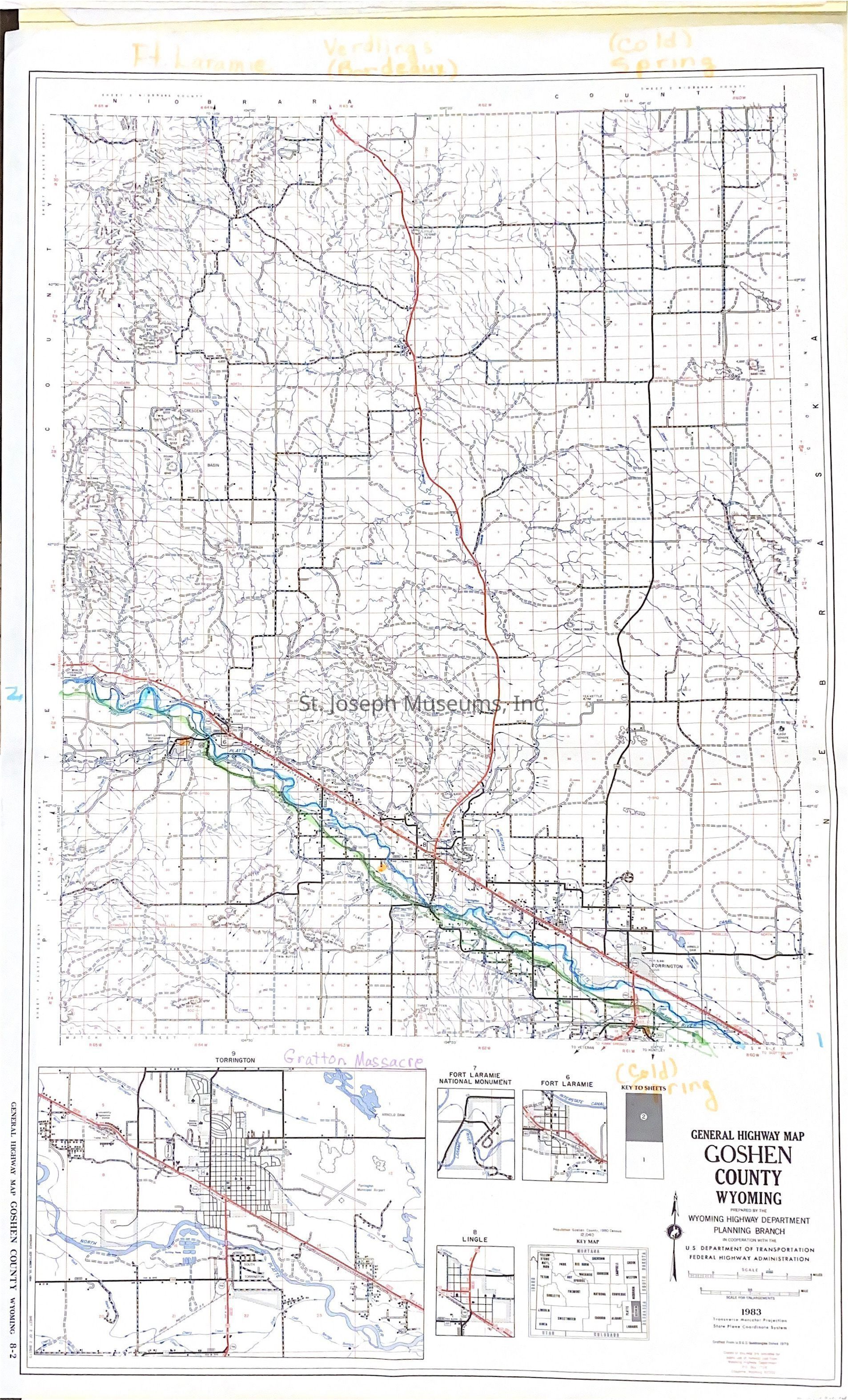
Wyoming General Highway Maps, with Pony Express Trail Marked by SJM Staff, 1979
Entry/Object ID
AM2020.1.311
Scope and Content
Wyoming General Highway Maps, with Pony Express Trail Marked by SJM Staff, 1979. Fourteen maps of eight Wyoming counties through which the Pony Express trail ran. Some counties have more than one map. St. Joseph Museum staff members have used the maps to mark the trail, using colored markers.
Counties include:
--Uinta
--Sweetwater
--Sublette
--Fremont
--Natrona
--Converse
--Goshen
Published by WY Highway Dept., 1979
Lexicon
Nomenclature 4.0
Nomenclature Secondary Object Term
Map
Nomenclature Primary Object Term
Cartograph
Nomenclature Sub-Class
Graphic Documents
Nomenclature Class
Documentary Objects
Nomenclature Category
Category 08: Communication Objects
LOC Thesaurus for Graphic Materials
Pony express
Search Terms
Trails, Western Migration, Pony Express Trail, Wyoming Maps