Name/Title
Charles E. Fenwick Collection Place and Subject Files-St. Mary's County MapsEntry/Object ID
1995.001.0670Scope and Content
1 folder ; 11 3/4"w x 9"h
A: 3 hand-drawn maps of Southern Maryland in 1780, 1793 and 1795
B: Map and Guide to St. Mary's County published by County Trust Company
C: Map of St. Mary's County, Mother County of Maryland. And Street maps of Leonardtown and Lexington Park
D: Copy of Martinet's 1866 Atlas of Maryland
E: Map of St. Mary's County Showing the Topography and Election Districts (Rev 1952)
F: Map of St. Mary's County Showing the Agricultural Soils (1929)
G: Excerpt of the Report of the Chief of Engineers, U.S. Army on the Improvement of Breton's Bay (1899)
H: Guide to Coast and Harbor Charts - Atlantic Coast, Chesapeake Bay and Tributaries (1956)
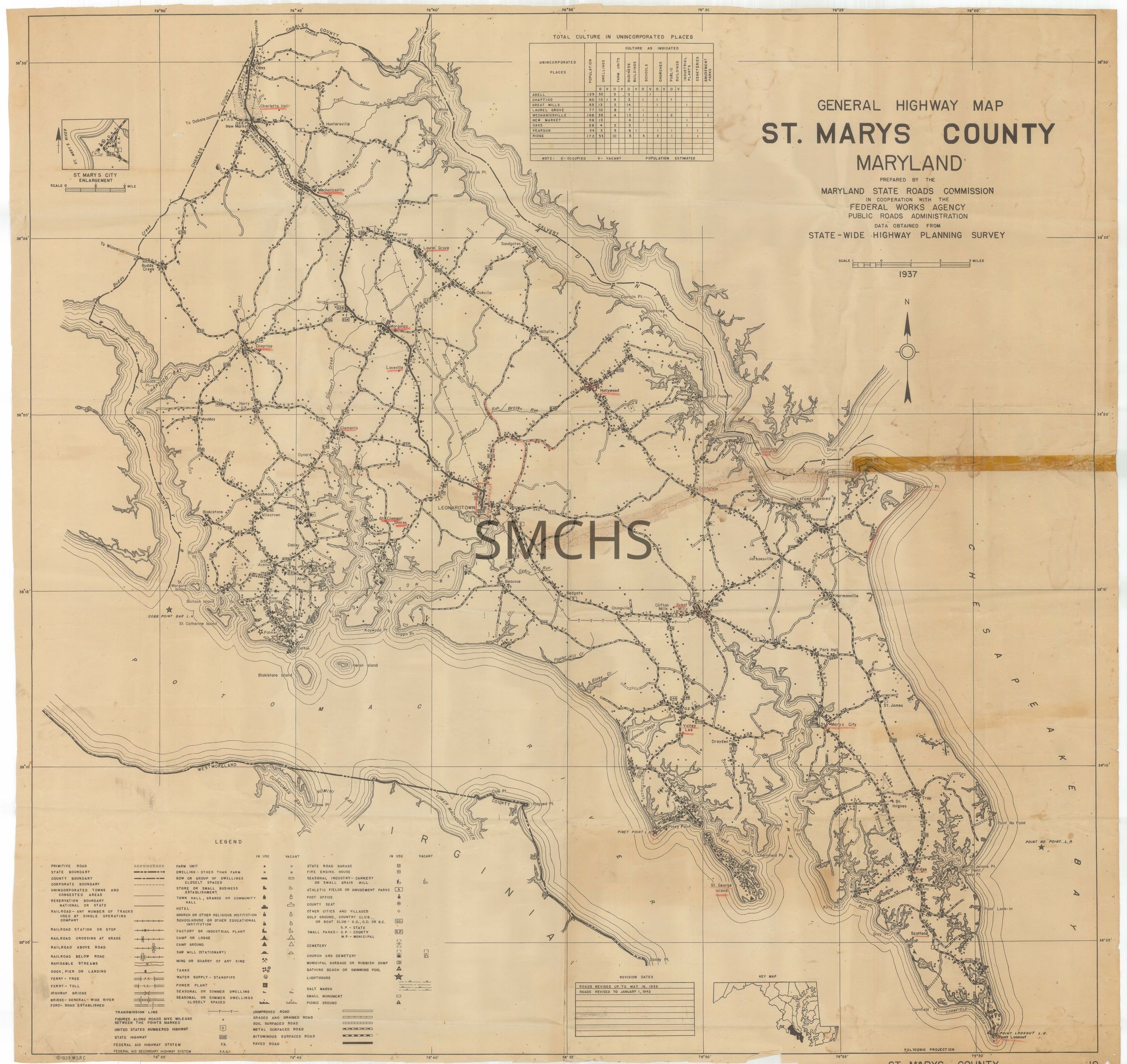
I: General Highway Map, St. Mary's County, Maryland (1937)Collection
Charles E. Fenwick CollectionArchive Items Details
Date(s) of Creation
1866 - 1990Location
Container
Charles E. Fenwick Collection, Box 4Shelf
Rack 07, Shelf 3Rack
Rack 07Wall
West wallRoom
Archives 1Building
Tudor Hall