Name/Title
Janson-La Palme Collection--Location of Mills 1798-1812Entry/Object ID
2012.007.0067Description
1 sheet ; 22" x 17"
Bayly Janson-La Palme worked with Lois Green Carr on economic data about colonial Maryland. Ms. Janson-La Palme then did her own work on economic data about Saint Mary's County from 1790-1870. She relied on census data, assessment records, estate inventories, etc. Her dissertation was based on this material, although the analysis in the dissertation only went up through 1840. The voluminous handwritten data was later transcribed onto 5 1/4" floppy disks using PC WRITE. That data was run on the mainframe computer at the University of Maryland. The disks, spread sheets, and other printouts are at the Hall of Records of the Maryland Archives.
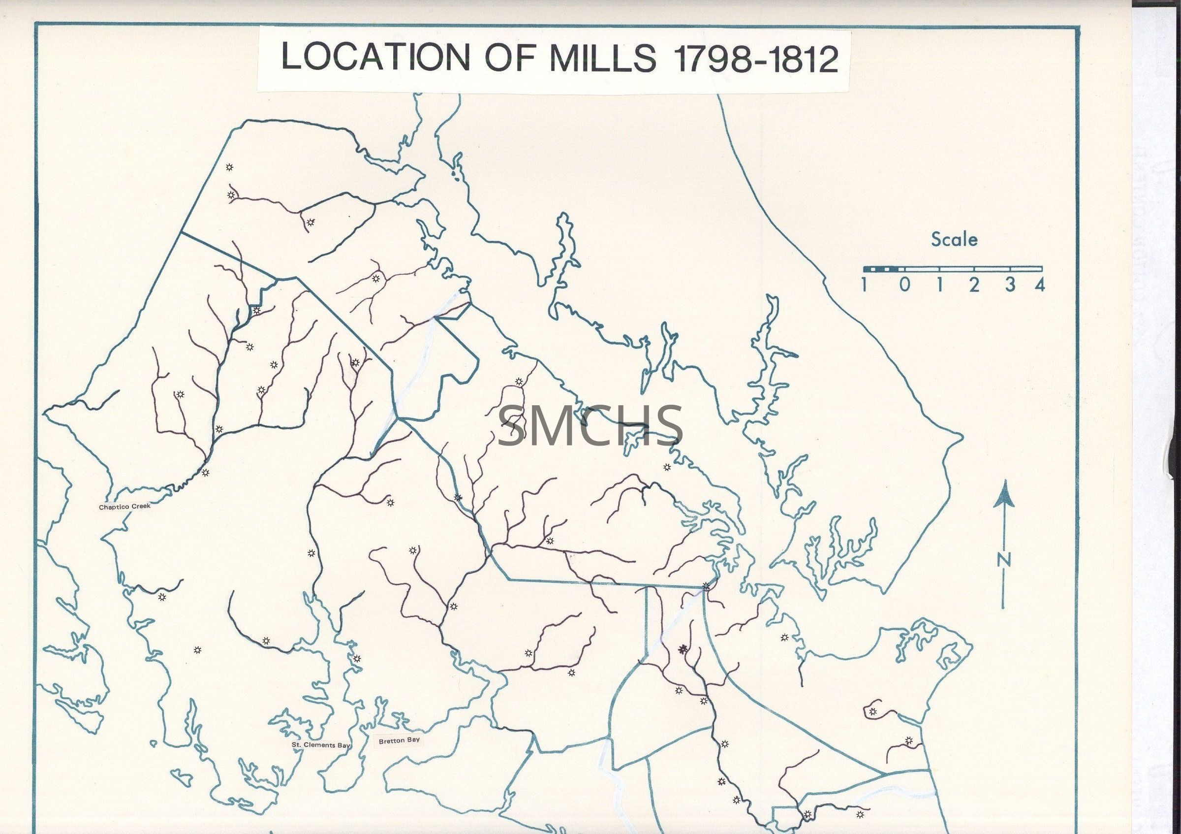
This is an outline map that Ms. Janson-La Palme had made to use for various purposes. The lines are in a medium teal color. Ms. Janson-LaPalme adjusted the district boundaries, drew more detail for watercourses and used a sunburst to show the locations of mills in the county. She did not name any of the mills. In the upper left corner, outside the "frame" for the map in pencil "Rural Industrialization--Map 2 Location of Mills 1798-1812"Collection
Janson-La Palme CollectionPublication Details
Publisher
nonePlace Published
* Untyped Place Published
NoneDate Published
1798 - 1812Publication Language
EnglishLocation
Container
Janson-La Palme Collection, Box 18, Oversize Series, Box 9Shelf
Rack 14, Shelf 5Rack
Rack 14Wall
North wallRoom
Archives 1Building
Tudor HallContainer
Oversize Series, Box 9Shelf
Rack 14, Shelf 5Rack
Rack 14Wall
North wallRoom
Archives 1Building
Tudor HallRelationships
Related Person or Organization
Person or Organization
Allan, C. N.Person or Organization
Janson-La Palme, Bayly