Name/Title
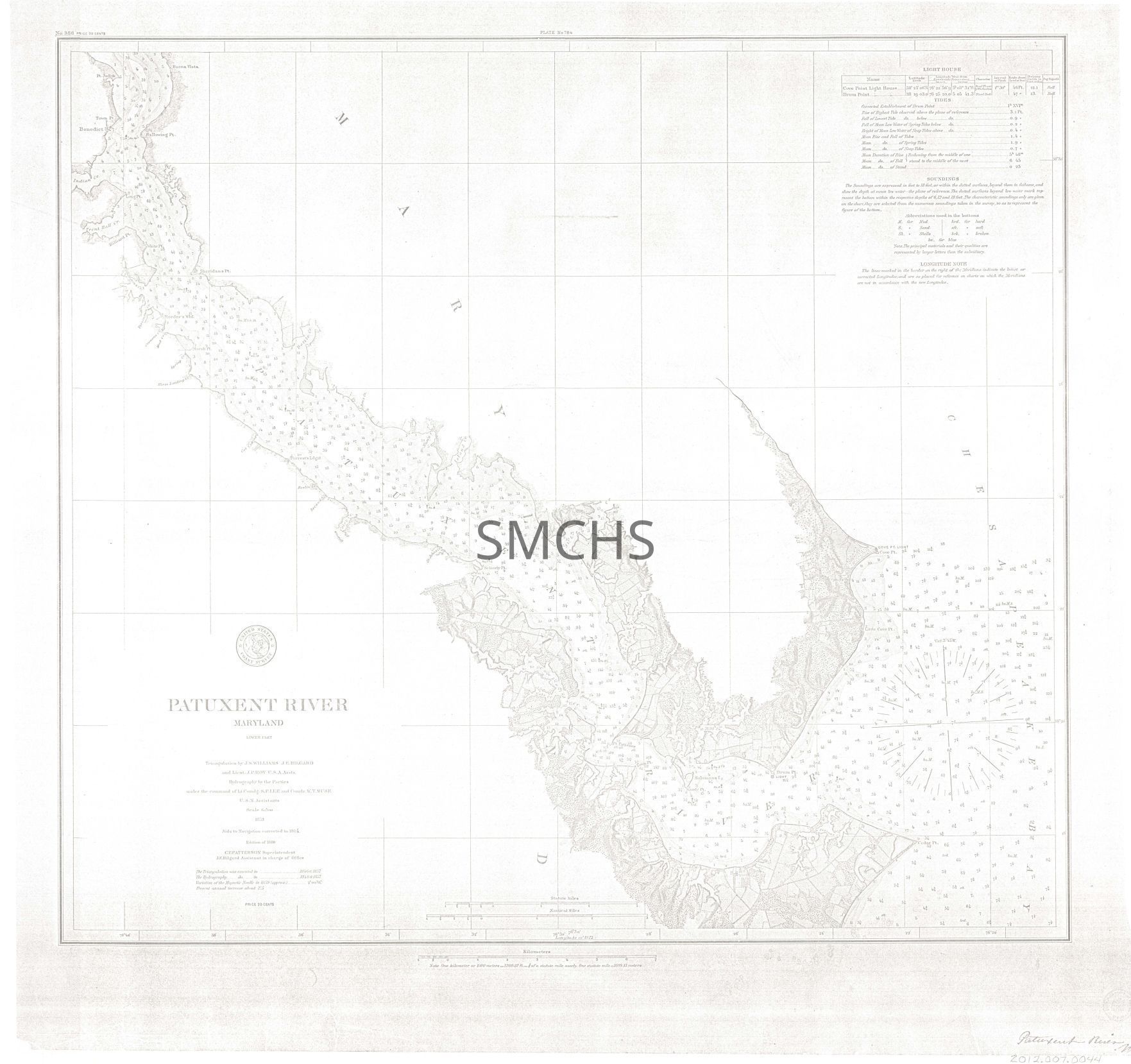
Map of Patuxent River Maryland (1859; 1880 edition)Entry/Object ID
2012.007.0044Scope and Content
This map moved to SMCHS Research Library 06/25/2026. Cataloged as MAP 244.
1 sheet ; 22 3/4" x 24"
Bayly Janson-La Palme worked with Lois Green Carr on economic data about colonial Maryland. Ms. Janson-La Palme then did her own work on economic data about Saint Mary's County from 1790-1870. She relied on census data, assessment records, estate inventories, etc. Her dissertation was based on this material, although the analysis in the dissertation only went up through 1840. The voluminous handwritten data was later transcribed onto 5 1/4" floppy disks using PC WRITE. That data was run on the mainframe computer at the University of Maryland. The disks, spread sheets, and other printouts are at the Hall of Records of the Maryland Archives.
This is a copy of a navigation chart of the Patuxent River from its mouth north to a few miles past Benedict. Creeks and other locations are named, but not land holders. The topography is rendered artistically from Sotterley to the mouth of the river, but ignored in other areas. The chart making was done by the United States Coast Survey with the assistance of the United States Navy. The data was gathered in 1846 and 1848, re-examined in 1857 and 1858; this chart is the edition of 1880 with aids to navigation revised to 1884.
Text of stamp on verso: "NARA Record Group 23"Collection
Janson-La Palme CollectionArchive Items Details
Date(s) of Creation
1846 - 1884Location
Drawer
Drawer 8Cabinet
Map CaseRoom
BasementBuilding
Tudor HallRelationships
Related Person or Organization
Person or Organization
Janson-La Palme, Bayly