Name/Title
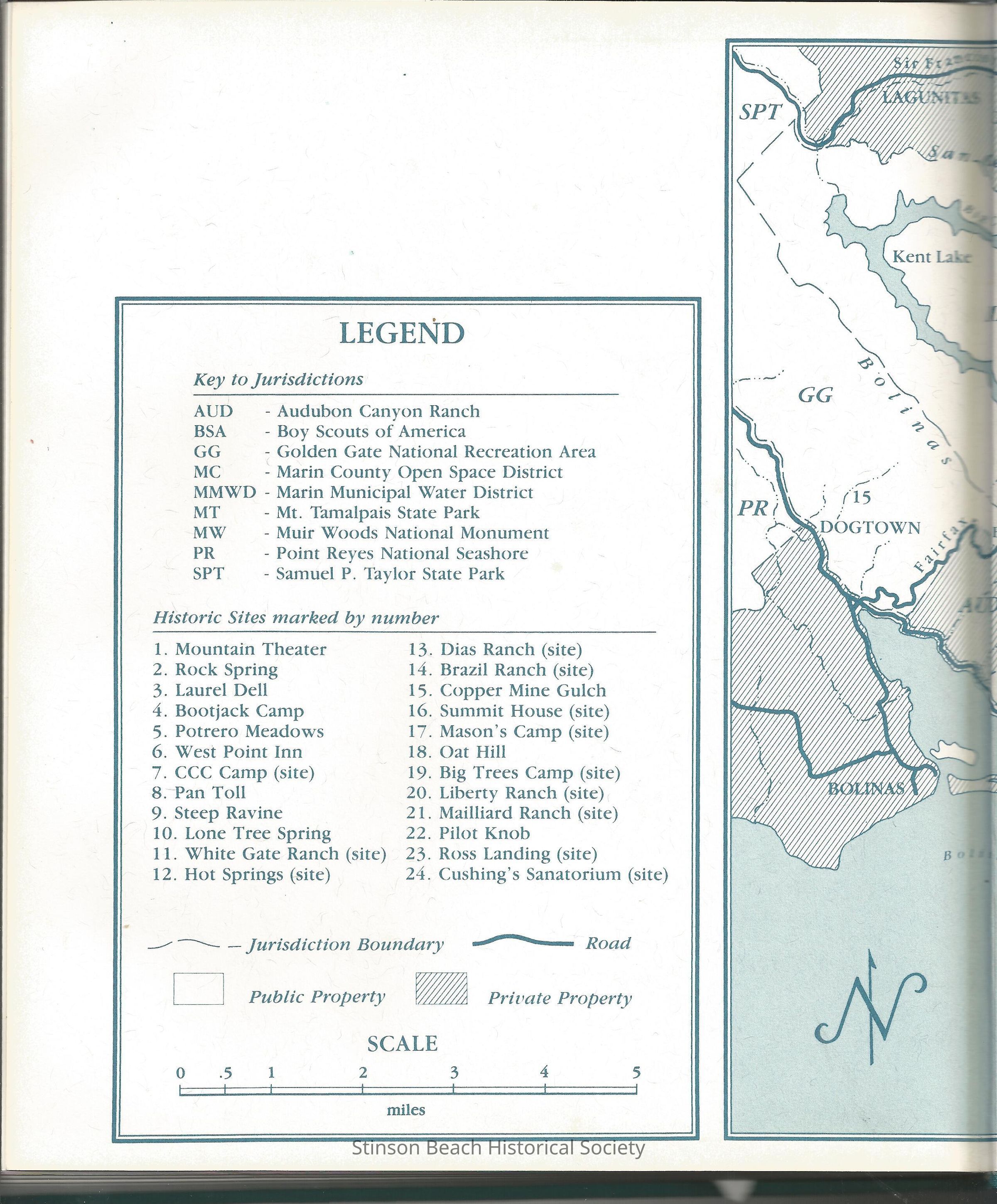
1987 Map of Mt. Tamalpais Area Left halfEntry/Object ID
2016-127-01Description
This is the left hand side photo taken from the inside cover of the book, Mount Tamalpais: A History by Lincoln Fairley and James Heig published in 1987. The Map is titled, Jurisdictions of the Mt. Tamalpais Area 1987 drawn by D.S. Livingston. This side of the photo contains mainly the Legend which includes Key to Jurisdictions such as Audubon Canyon Ranch, Golden Gate National Park, Mt. Tam State Park. In all there are 9 jurisdictions on the mountain. Alson included are 24 historic sites, jurisdiction boundary, road, public and private properties and scale of the map.Collection
SBHS Photo Collection/Digital ImagesAcquisition
Accession
2016-127Source or Donor
Book "Mt. Tamalpais A History"Acquisition Method
Collected by Staff