Name/Title
North Western Pacific MapEntry/Object ID
2016-138-01Description
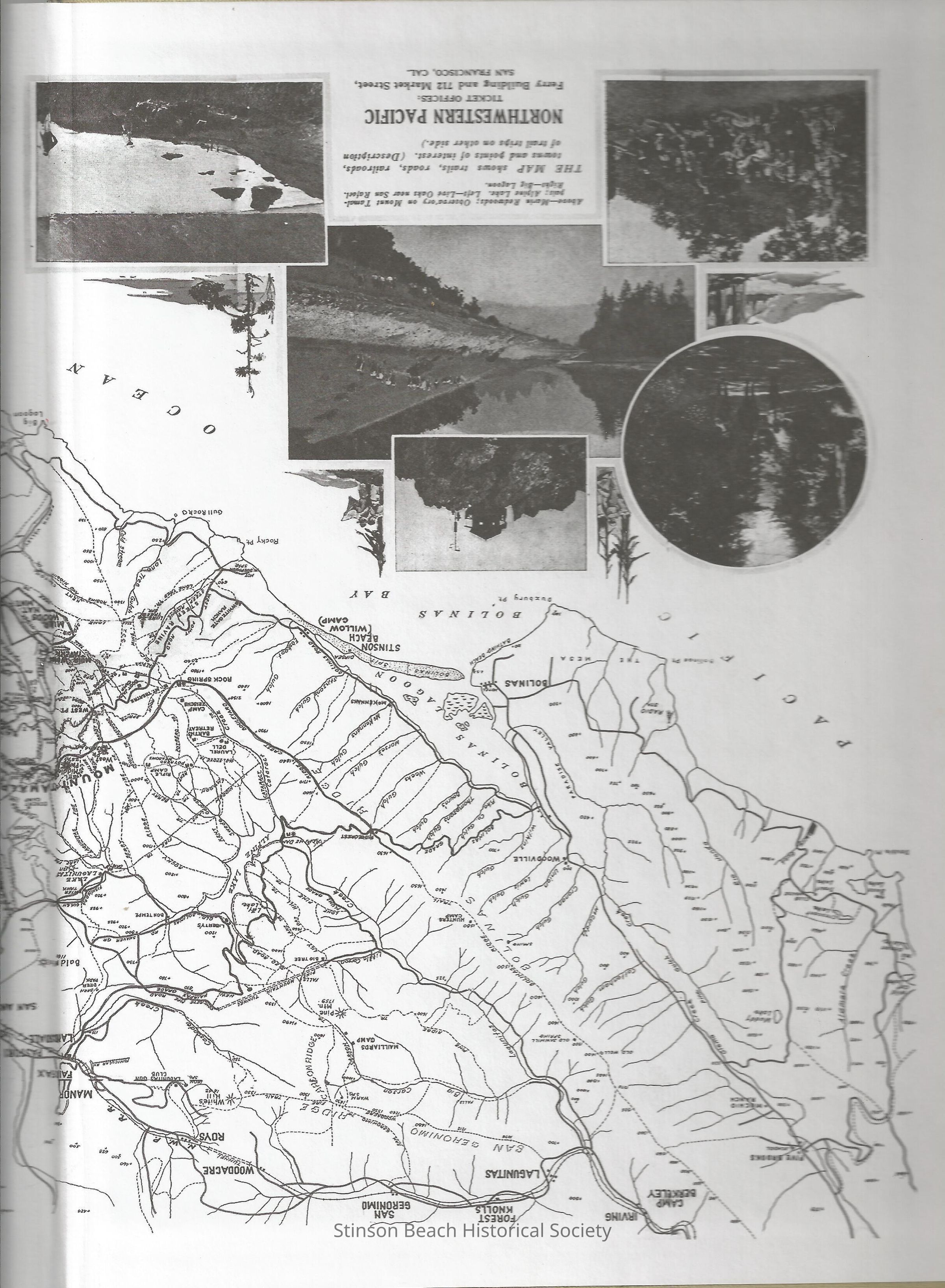
This is a partial photo taken from the inside cover of the book, "Marin A History" written by Barry Spitz. The map was drawn in 1908 showing trails, roads, railroads, towns and points of interest. There are 5 photographs and some illustrations of redwood trees on the lower 1/2 of photo. They are from the left, Marin Redwood, the Mt. Tamalpais Observatory, Alpine Lake, People and Live Oak trees at San Rafael Ridge and Big Lagoon.Collection
SBHS Photo Collection/Digital ImagesAcquisition
Accession
2016-138Source or Donor
Book: Marin A HistoryAcquisition Method
Collected by StaffCredit Line
Spitz, Burry