Name/Title
Grant to Bolinas Harbor DistrictEntry/Object ID
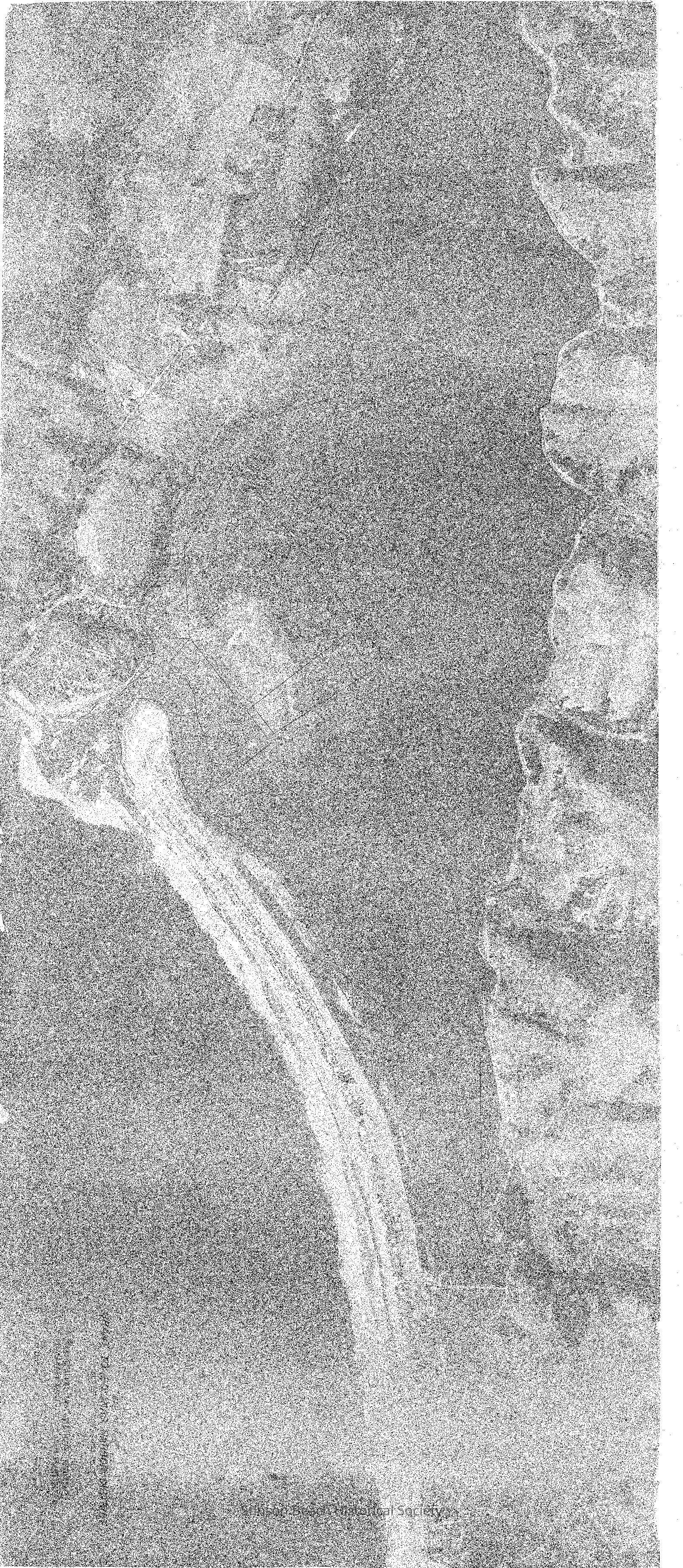
1992A-101Description
Areial photograph mapping the grant to the Bolinas Harbor District. Aerial photo of Bolinas Harbor District with outline of grant to Bolinas Harbor District drawn on top of map. Dated 1959. Scale 1 inch = 400 feet. Shows old causway to sandspit. Shows Seadrift development without Seadrift Lagoon.Collection
SBHS Archival Collection/Map CollectionAcquisition
Accession
1992A-101Acquisition Method
Gift