Name/Title
MapEntry/Object ID
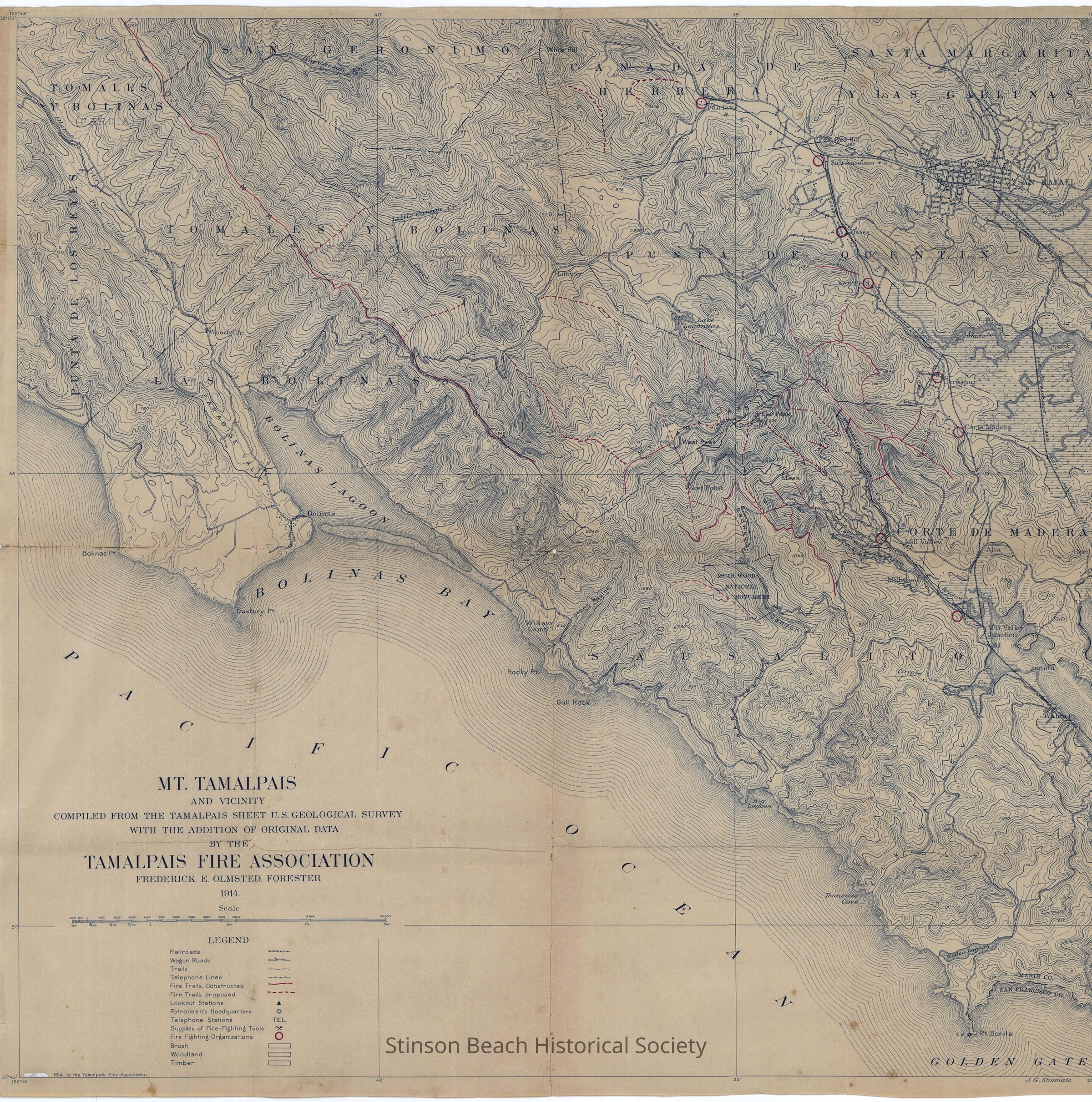
2007A-123-01Description
A print of a map approx. 36" x 39" printed from an original and marked by red pencils. Completed from The Tamalpais Sheet US Geologic Survey with Addition of Original Data. By the Mt. Tamalpais Fire Association, Frederic E. Olmsted, Forester, dated 1914. The Map includes area; N36degree oo' S to N37degree 45'S and W122degree 45'E to W122degree 30'E. The Legend includes: Rail Roads, Wagon Trails, Telephone Lines, Constructed and Proposed Fire Trails, Lookout Stations, Supplies of Fire Fighting Tools, Fire Fighting Organizations, Brush, Woodland, Timberland. It was framed in a wooden frame with glass.Collection
SBHS Archival Collection/Map CollectionAcquisition
Accession
2007A-123Source or Donor
Bart, Jeffrey & AllisonAcquisition Method
Gift