HUB
Collections
Classifications
About
App
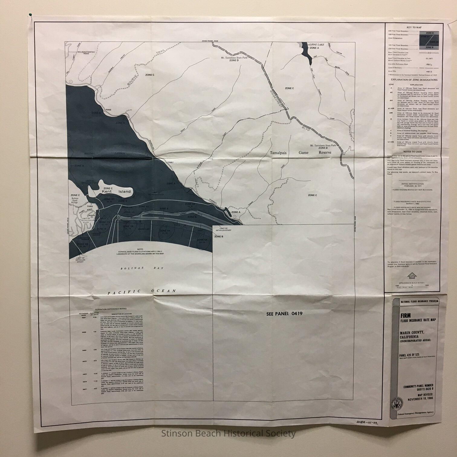
FIRM Flood Insurance Rate Map
Map
-
Stinson Beach Historical Society
Flood Insurance Rate map
Origsize: 26x26; Origformat: Other; Resolution: 75 dpa
Name/Title
FIRM Flood Insurance Rate Map
Entry/Object ID
2018A-111-02
Description
This map designate the Seadrift Area as Zone B that is the area between 100 year flood and 500 year flood.
Collection
SBHS Archival Collection/Map Collection
Acquisition
Accession
2018A-111
Source or Donor
Albert Engel
Acquisition Method
Gift