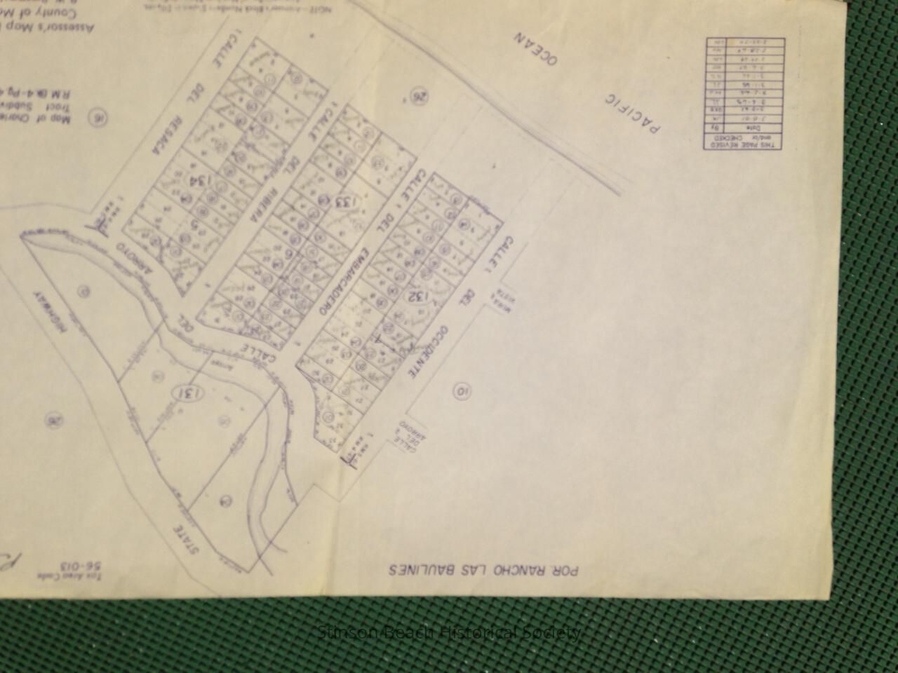
Name/Title
Map of Charles Robinson Tract, or CallesEntry/Object ID
2013A-102-02Scope and Content
A blue print copy of Assesor's Map Bk.195-Pg. 13, known as Charles Robinson Tract, or Calles, with owner's names penciled in on each parcel. The map most recent revision date is 2-27-70. On the top right of the map has an note Parsons 18 in ink.Collection
SBHS Archival Collection/Map CollectionAcquisition
Accession
2013A-102Source or Donor
Denise ParsonsAcquisition Method
Gift