Name/Title
Topographic Survey Map of Bolinas LagoonEntry/Object ID
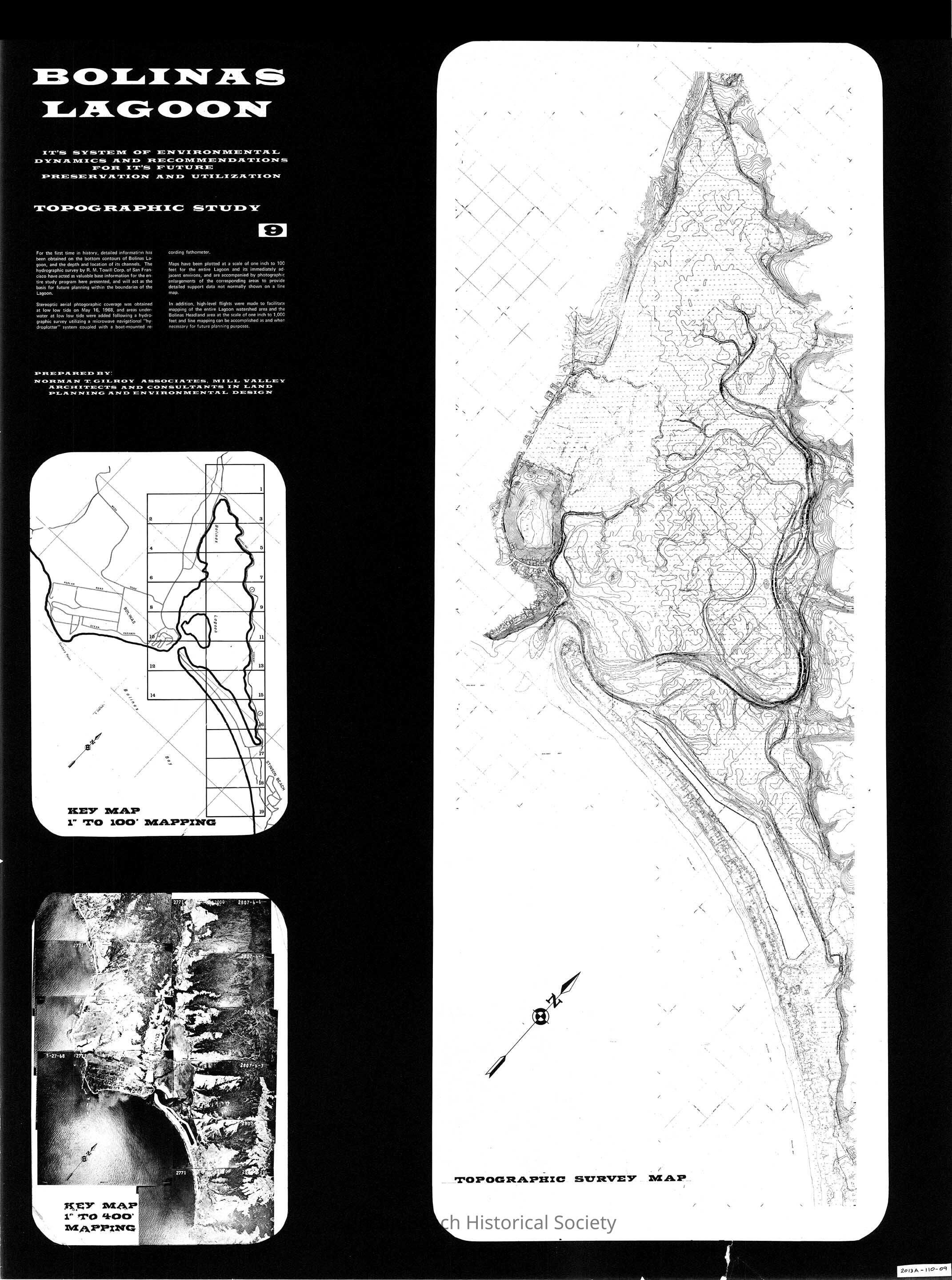
2013A-110-09Scope and Content
Hydrographic Survey by R. M. Towill Corp of San Francisco of the entire bottom of Bolinas Lagoon and environs, and includes aerial mapping of the watershed and headlands area.
Page 9 of the graphic presentation of "Bolinas Lagoon" Its System of Environmental Dynamics and Recommendations for It's Future Preservation and Utilization.
The study was conducted by Norman T. Gilroy Associates in preparation for the Bolinas Harbor District development.Collection
SBHS Archival Collection/Map Collection