Name/Title
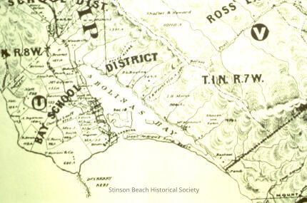
Bay School District MapEntry/Object ID
1994-393-01Description
This color photographic print is of a map showing the coast line from the southern end of Bolinas Bay, around Duxberry reef and north to include the town of Bolinas. It is a topographical map with the features depicted in green ink and the writing in black ink.Collection
SBHSAcquisition
Accession
1994-393Source or Donor
Livingston, DeweyAcquisition Method
Gift