HUB
Collections
Classifications
About
App
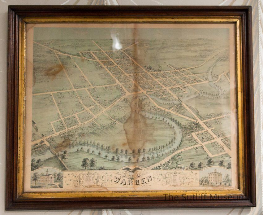
City of Warren Map, 1870
Art
-
Sutliff Museum
1971.1.068 front
Copyright: The Sutliff Museum; Origformat: Artifact
Name/Title
City of Warren Map, 1870
Entry/Object ID
SM.1971.1.068
Tags
1870s,
Cartography
Description
Framed map of City of Warren ca. 1870
Collection
Sutliff Family Collection
Made/Created
Date made
1870
Place
Location
Sutliff Homestead
Notes
Published by Ruger & Stoner Madison, Wis.
Lexicon
Nomenclature 4.0
Nomenclature Secondary Object Term
Map
Nomenclature Primary Object Term
Cartograph
Nomenclature Sub-Class
Graphic Documents
Nomenclature Class
Documentary Objects
Nomenclature Category
Category 08: Communication Objects
LOC Thesaurus for Graphic Materials
Land,
Census,
Frames (Picture),
Maps,
Land subdivision,
Land surveying,
Paper,
Map making,
Government
Dimensions
Height
26 in
Width
31 in