Name/Title
Battle Ground of Liberty, The Western Battle Feilds of EuropeEntry/Object ID
SM.1971.1.559Tags
1910s, CartographyDescription
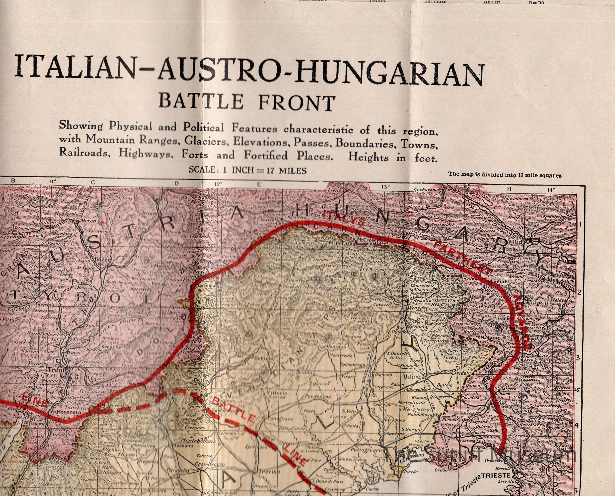
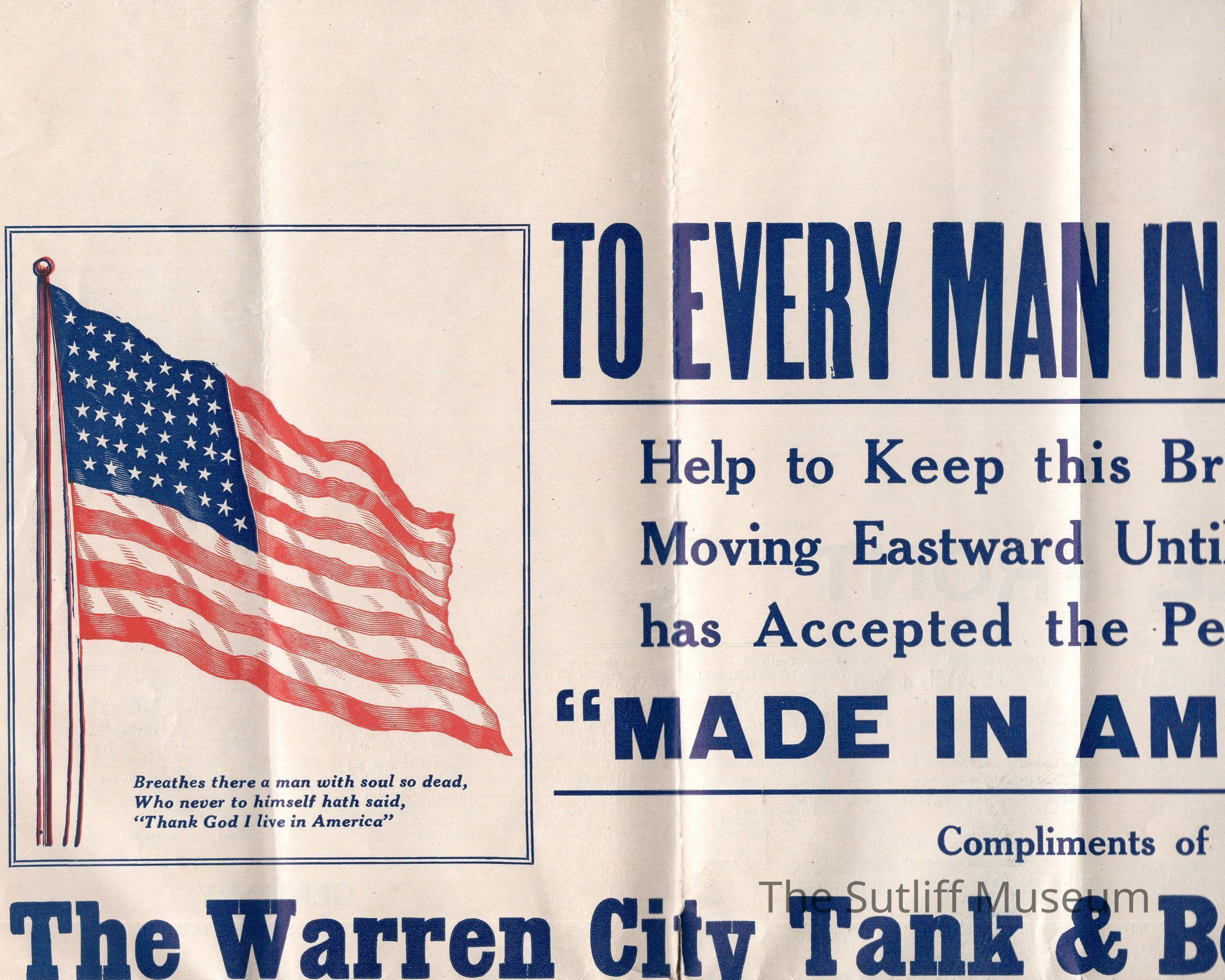
Strategic map of WWI battle ground in Belgium and Grance from London, England to the Swiss Border. Showing farthest advance of the German armies in September of 1914. The map also shows physical and political characteristics of the region. The reverse is list of places and features and where to find them on the map. This map was produced by the Warren City Tank & Boiler Co.Dimensions
Dimension Notes
34" x 27.25Relationships
Related Person or Organization
Person or Organization
Warren City Tank & Boiler Co.