HUB
Collections
Classifications
About
App
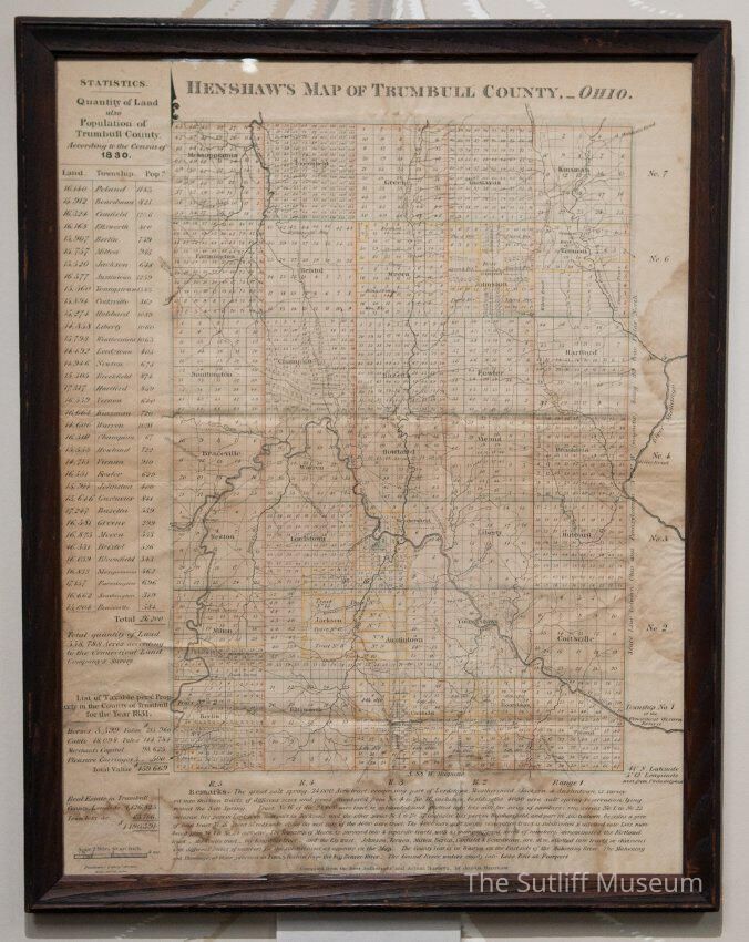
Henshaw's Map of Trumbull County, 1830
Archive
-
Sutliff Museum
1971.1.067
Copyright: The Sutliff Museum; Origformat: Artifact
Name/Title
Henshaw's Map of Trumbull County, 1830
Entry/Object ID
SM.1971.1.067
Tags
1830s,
Cartography
Scope and Content
Framed Henshaw's map of Trumbull County showing 1830 census information.
Collection
Sutliff Family Collection
Lexicon
Nomenclature 4.0
Nomenclature Secondary Object Term
Map
Nomenclature Primary Object Term
Cartograph
Nomenclature Sub-Class
Graphic Documents
Nomenclature Class
Documentary Objects
Nomenclature Category
Category 08: Communication Objects
LOC Thesaurus for Graphic Materials
Land,
Census,
Frames (Picture),
Maps,
Land subdivision,
Land surveying,
Paper,
Map making,
Government
Search Terms
Artifacts,
Geography,
Government & Politics,
Maps,
Towns
Archive Details
Date(s) of Creation
circa 1830
Dimensions
Height
26 in
Width
31 in
Relationships
Related Person or Organization
Person or Organization
Henshaw, Joshua
Related Places
Place
* Untyped Place
Trumbull County,
Ohio