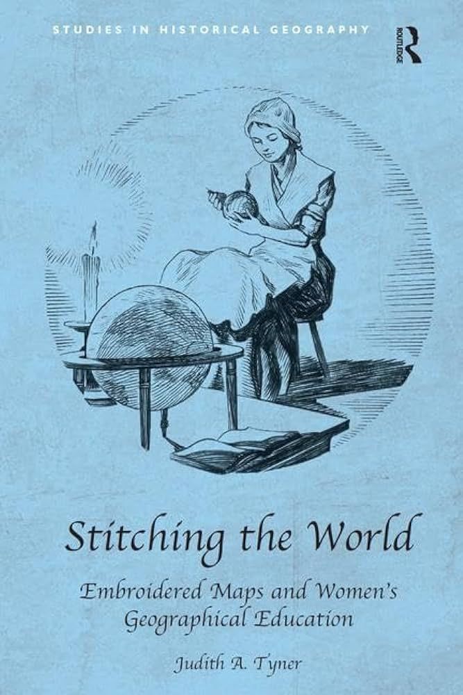
Stitching the world : embroidered maps and women's geographical education
Entry/Object ID
NK9206.T96 2015
Description
From the late eighteenth century until about 1840, schoolgirls in the British Isles and the United States created embroidered map samplers and even silk globes. Hundreds of British maps were made and although American examples are more rare, they form a significant collection of artifacts. Descriptions of these samplers stated that they were designed to teach needlework and geography. The focus of this book is not on stitches and techniques used in 'drafting' the maps, but rather why they were developed, how they diffused from the British Isles to the United States, and why they were made for such a brief time. Stitching the World is an interdisciplinary work drawing on cartography, needlework, and material culture. This book for the first time provides a critical analysis of these artifacts, showing that they offer significant insights into both eighteenth- and nineteenth-century geographic thought and cartography in the USA and the UK and into the development of female education.
Lexicon
Search Terms
cartography--study and teaching, embroidery--great britain--19th century, embroidery--united states--19th century, geography--study and teaching, maps, samplers, women cartographers--history
Legacy Lexicon
Category
Book
Book Details
Author
Judith A. Tyner
Publisher
Ashgate Publishing Company
Place Published
City
Burlington, VT
Date Published
2015
ISBN
9781409426356
Notes
Length: 142
General Notes
Note Type
Contents
Note
Preface -- Introduction -- In the beginning was the sampler -- British Isles traditions -- Stitching a new nation -- The world in silk -- Needles and pens -- Appendices -- Bibliography -- Index.