Name/Title
027 Danielle Foye (1992–2002)Entry/Object ID
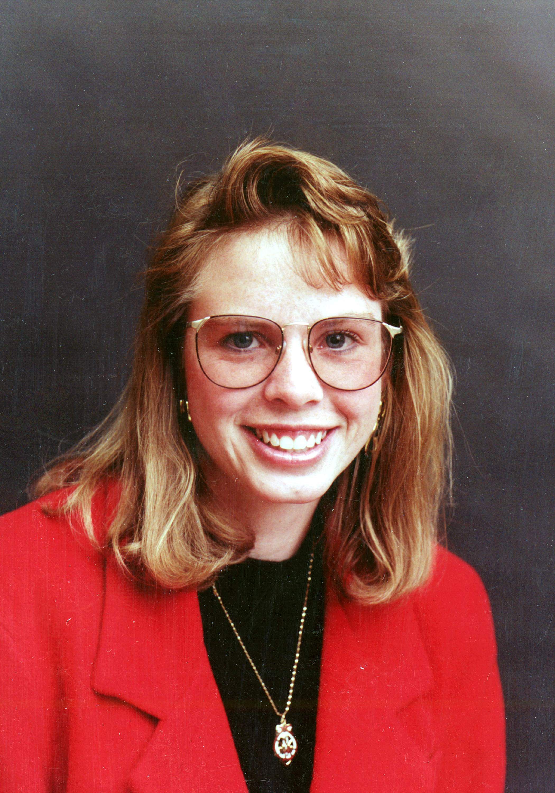
WOGS_027Description
Danielle Foye was from Lakewood, Ohio, and earned her Bachelor of Art in geology from Wright State University in 1991. She joined the staff of the Ohio Geological Survey in 1992 and worked in the Lake Erie Geology Section in Sandusky. As a staff geologist, she conducted fieldwork along the Lake Erie coast. A large part of her time was dedicated to cooperative projects with Ohio Fish and Wildlife, USGS, and U.S. Fish and Wildlife and with wetland restoration, dam removals, and habitat projects. She used remote sensing and geology to determine Ohio's Public Trust Boundaries for the Ohio Coastal Management Program (OCMP).
Danielle also worked professionally as a photographer and had an impressive collection of high-quality images of geologic subjects she often shared with her coworkers.Photograph Details
Subject Person or Organization
Ohio Geological SurveyContext
Danielle resigned to accept a job as a cartographer with U.S. DOC/NOAA Remote Sensing Division. While with NOAA, Danielle continued updating the Lake Erie coastline and navigation charts using remote sensing technology.Collection
Women of The Ohio Geological SurveyCataloged By
Molly E. Hunt, Madge Fitak