Name/Title
S02.07.009Description
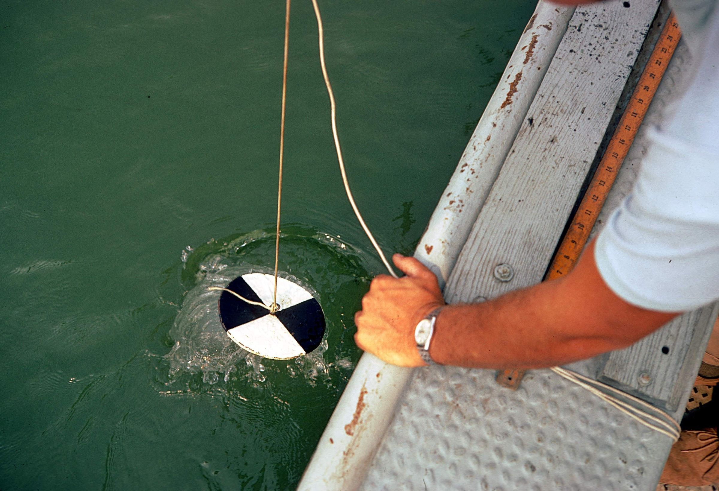
Using a Secchi disk to measure water transparency in Lake Erie. The disk is mounted on a line and lowered slowly down into the water. An average of the depth at which the disk is no longer visible and the depth at which it reappears when raised is taken as a measure of the clarity of the water. This measure is known as the Secchi depth and is related to water turbidity. The image was taken on September 17, 1970. The location given is a general point in Lake Erie approximate to the main office of the Lake Erie Section of the Ohio Geological Survey.
In 1961, the Division of Shore Erosion, one of the seven original divisions in the Ohio Department of Natural Resources, was abolished and its functions distributed to the Division of Geological Survey, the Division of Watercraft, and the newly created Office of the Engineer. The geologic research and mineral-extraction permitting of the Division of Shore Erosion became the Lake Erie Section of the Division of Geological Survey at that time. During its 46 year association with the Division of Geological Survey, the Lake Erie Section researched sediment distribution and stratigraphy, water quality and currents, shore erosion and erosion forecasts, riverine and near-shore habitat studies, and management of littoral sand resources. The office of the Lake Erie Section was located at 305 East Shoreline Drive, Sandusky, Ohio 44870. The Sandusky office of the Lake Erie Geology Group Section was closed in January 2008 as a result of budget constraints.
Information about the history of the Ohio Geological Survey’s Lake Erie Group Section is available in Lake Erie Geology Office Closes by Don Guy, Dale Liebenthal, and Michael C. Hansen (Ohio Geological Survey, Ohio Geology Newsletter, No. 1, 2008) pages 6 and 7.
This slide image included in the USGS National Digital Catalog for NGGDPP Grant G15AP00115 in FY2015.Context
Man leaning over edge of boat to put white and black disc in the water. Lake Erie, Ohio.