Name/Title
S02.07.027Description
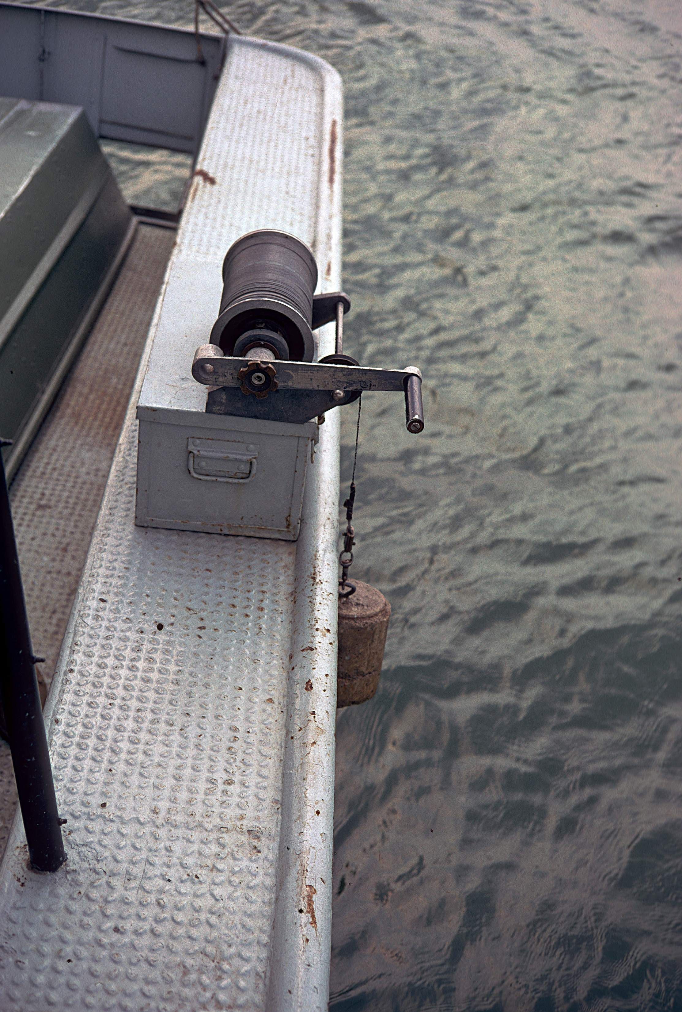
The winch apparatus on the GS-1 research vessel used by the Lake Erie Section of the Ohio Geological Survey. The winch has a weight attached. The weight was used to take an initial measurement of water depth. Those measurements were then used to calibrate the fathometer equipment. A fathometer is a depth finder that uses sound waves to determine the depth of water. The image was taken on September 17, 1970. The location given is approximate to the research vessel docked at the Battery Park Marina in Sandusky, Erie County, Ohio.
Information about the history of the Ohio Geological Survey’s Lake Erie Group Section is available in Lake Erie Geology Office Closes by Don Guy, Dale Liebenthal, and Michael C. Hansen (Ohio Geological Survey, Ohio Geology Newsletter, No. 1, 2008) pages 6 and 7.
This slide image included in the USGS National Digital Catalog for NGGDPP Grant G15AP00115 in FY2015.Context
Edge of the boat with spool connected on top of boat edge; water seen down below. Battery Park Marina in Sandusky, Ohio.