Name/Title
S02.08.003Description
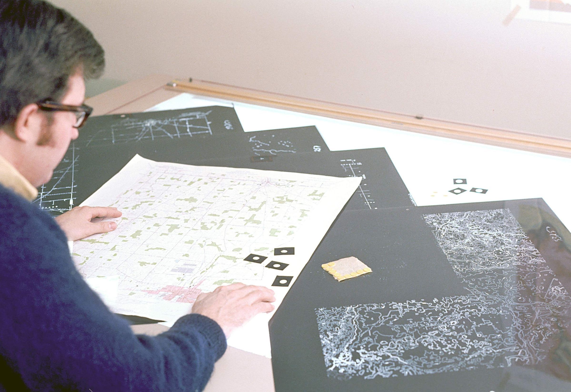
Philip Celnar is reviewing the multiple negatives that were used to make the final color USGS 7.5-minute topographic quadrangle map lying on the top of the negatives. The Ohio Geological Survey purchased the negatives to all the 7.5-minute topographic maps for all of Ohio. The printing process for these maps used the CMYK four color process (CMYK represents Cyan, Magenta, Yellow, and Black). There would have been four negatives for each map. If any individual spot colors were used for a map, there would be an added negative per spot color. The small black squares with the hole in the middle were used to register the negatives to each other allowing everything to line up properly during production. Phil was a cartographer in the Publications Section of the Ohio Geological Survey. The Ohio Department of Natural Resources, Division of Geological Survey's main office was located at 1207 Grandview Avenue, Grandview Heights, Ohio 43212 from 1962 through May 1973. Harold J. Flint took the picture in 1971.
This slide image included in the USGS National Digital Catalog for NGGDPP Grant G15AP00115 in FY2015.Context
Man reviewing maps laid out in front of him on the table. At the office in Grandview Heights, Ohio.