Name/Title
S02.08.010Description
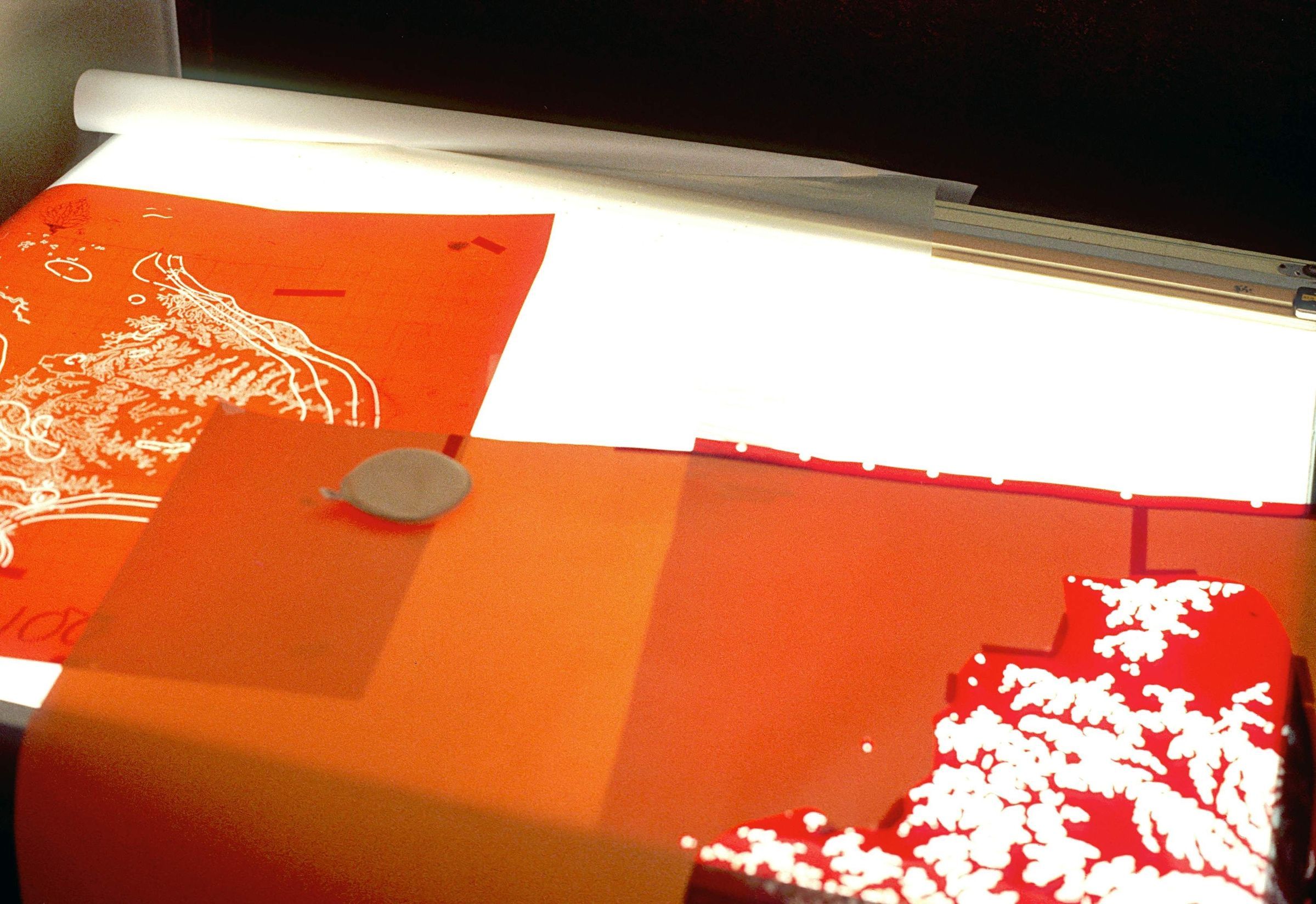
Scribecoat sheets that have been etched by a cartographer in the Technical Publications Section of the Ohio Geological Survey. Scribecoat is a clear carrier sheet with a coating of semi-soft plastic on top. Geologic contact lines were originally hand drawn by the geologist to depict the geology being mapped. Cartographers would make a negative of the hand drawn lines in the photography laboratory. The negative would be placed over the scribecoat and exposed, or burned, on the vacuum frame. When the scribecoat was washed with water afterwards, the image of the scribed lines remained. The tool called a scriber that has a specific width blade was used to scrape away the plastic as the cartographer traced over the lines on the scribecoat. A magnifying glass is attached to the scriber tool to see the small details of the lines the cartographer must follow. Scribing the lines produced the lines seen on the final map. The image was made in 1979. The Ohio Geological Survey's main office was located at Fountain Square on Morse Road, Columbus, Ohio 43229 from May 1973 to the present. The Geological Survey's offices were on the first and second floors of Building B from May 1973 until a move to the first and second floors of Building C in January 2005.
This slide image included in the USGS National Digital Catalog for NGGDPP Grant G15AP00115 in FY2015.Context
Orange maps with drawn out hills and geology lines in a mountain pattern. Taken at Fountain Square location on Morse Road in Columbus, Ohio.