Name/Title
S02.08.032Description
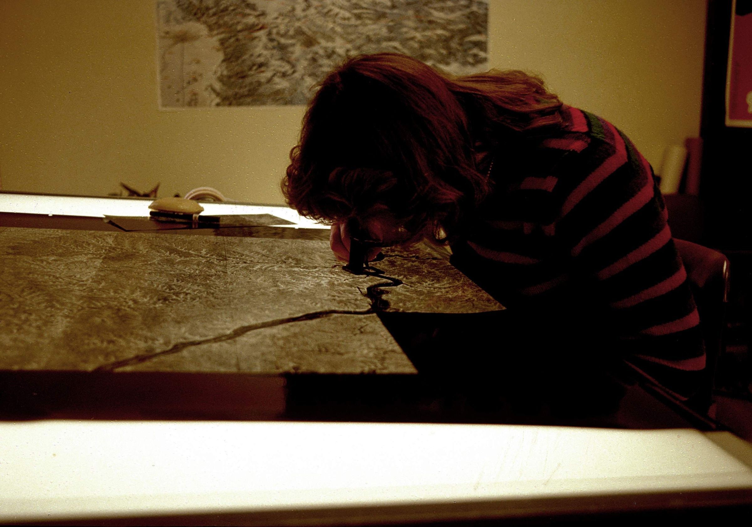
Katherine Jennings touching up a negative. Katherine worked in the Technical Publications Section of the Ohio Geological Survey. The image was made circa 1979 to the early 1980s. The Ohio Geological Survey's main office was located at Fountain Square on Morse Road, Columbus, Ohio 43229 from May 1973 to the present. The Geological Survey's offices were on the first and second floors of Building B from May 1973 until a move to the first and second floors of Building C in January 2005.
In an e-mail from Lisa Van Doren on July 21, 2016: We made county base maps from the USGS 7.5-minute quadrangles by shooting the quadrangle negatives down by a specific percentage to make a positive at a specific scale. We’d then mosaic all the quad. positives used to make up that county together and shoot that into a negative. That negative is what’s on this light table. Those quad. positives never matched up very well—topographic lines as well as roads and other cultural lines would not butt up against each other. So we’d make scratches in the emulsion of the neg. to connect the features from one quad. to another.
This slide image included in the USGS National Digital Catalog for NGGDPP Grant G15AP00115 in FY2015.Context
Woman drawing on a gray and white map; map is laid out on lightbox table. Taken at Fountain Square location on Morse Road in Columbus, Ohio.